MyTopo
Wolbach SW Nebraska US Topo Map
Couldn't load pickup availability
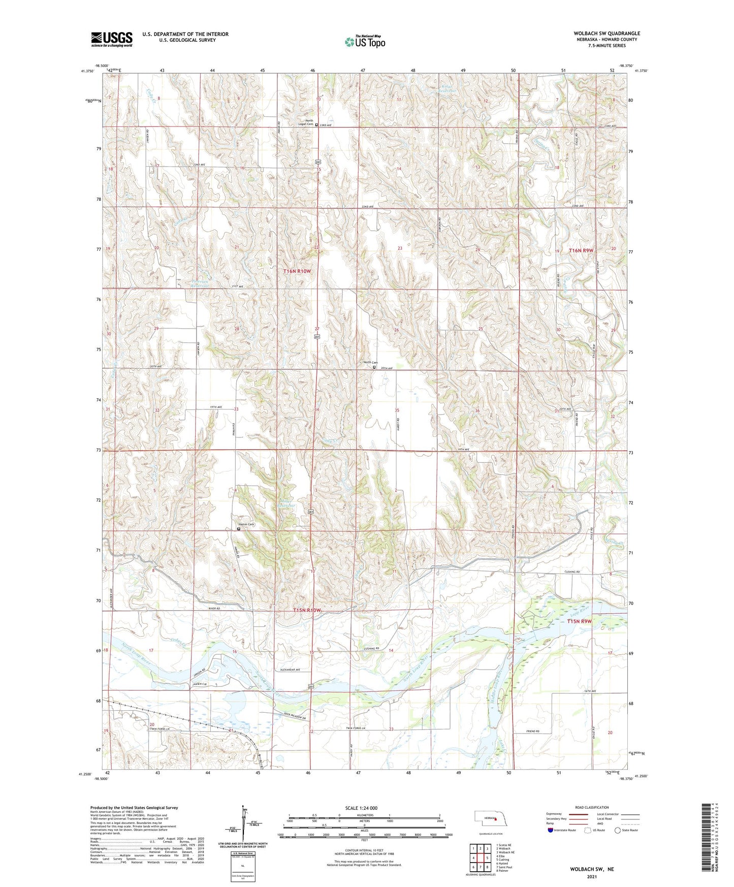
2021 topographic map quadrangle Wolbach SW in the state of Nebraska. Scale: 1:24000. Based on the newly updated USGS 7.5' US Topo map series, this map is in the following counties: Howard. The map contains contour data, water features, and other items you are used to seeing on USGS maps, but also has updated roads and other features. This is the next generation of topographic maps. Printed on high-quality waterproof paper with UV fade-resistant inks.
Quads adjacent to this one:
West: Elba
Northwest: Scotia NE
North: Wolbach
Northeast: Wolbach NE
East: Cushing
Southeast: Palmer
South: Saint Paul
Southwest: Nysted
Contains the following named places: Cady Creek, Cedar Creek, Fairdale Church, Fairdale-Logan Election Precinct, Hamm Cemetery, Kolar Dam, Kolar Reservoir, Lake Creek, Loup Junction State Wildlife Management Area, Middle Loup River, Miller Dam, Miller Reservoir, North Cemetery, North Logan Cemetery, North Loup River, North Loup State Recreation Area, Petersen Dam, Petersen Reservoir, School Number 21, School Number 23, School Number 33, School Number 36, School Number 42, School Number 43, School Number 56, School Number 6, Township of Logan