MyTopo
Bean Flat West Nevada US Topo Map
Couldn't load pickup availability
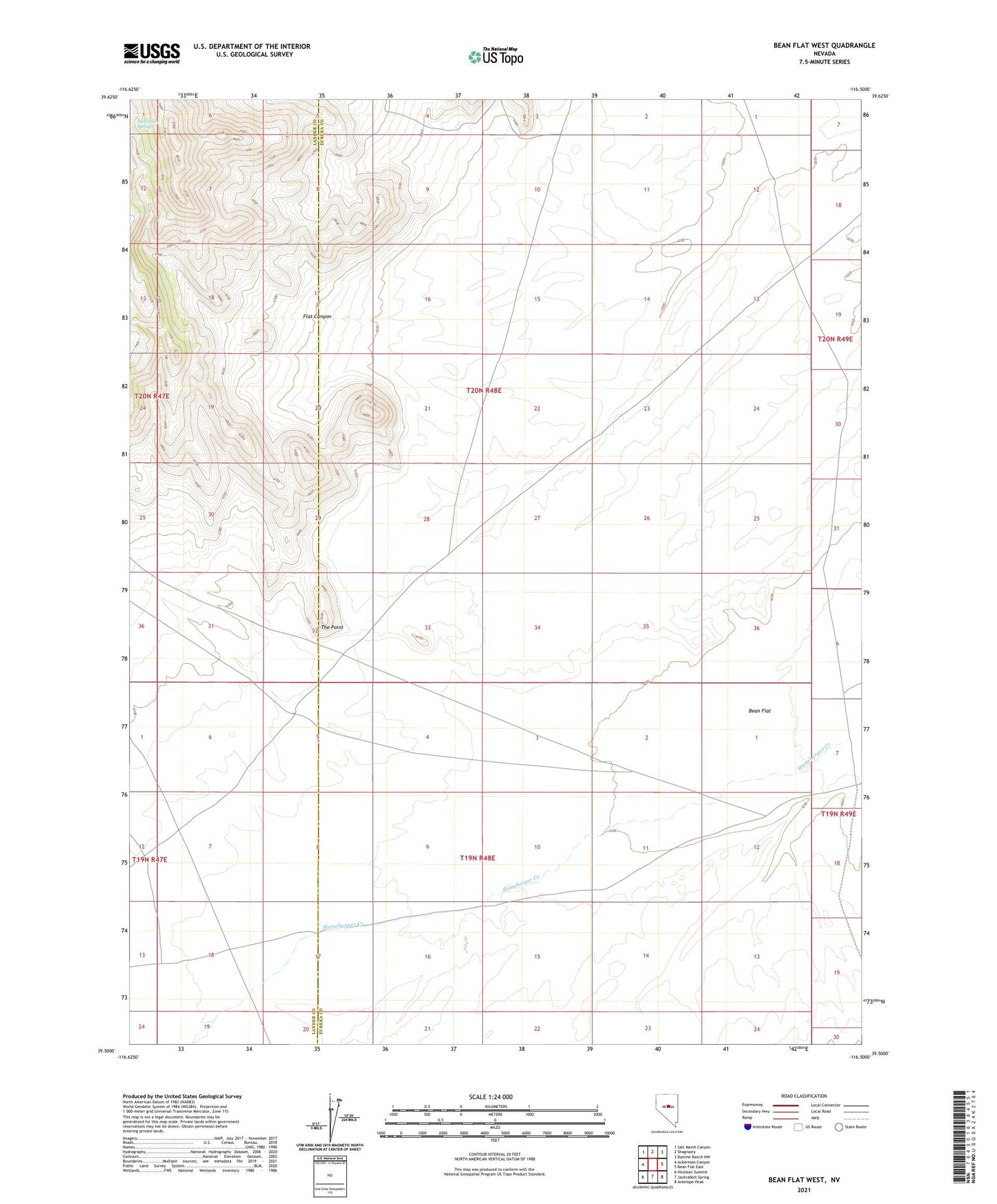
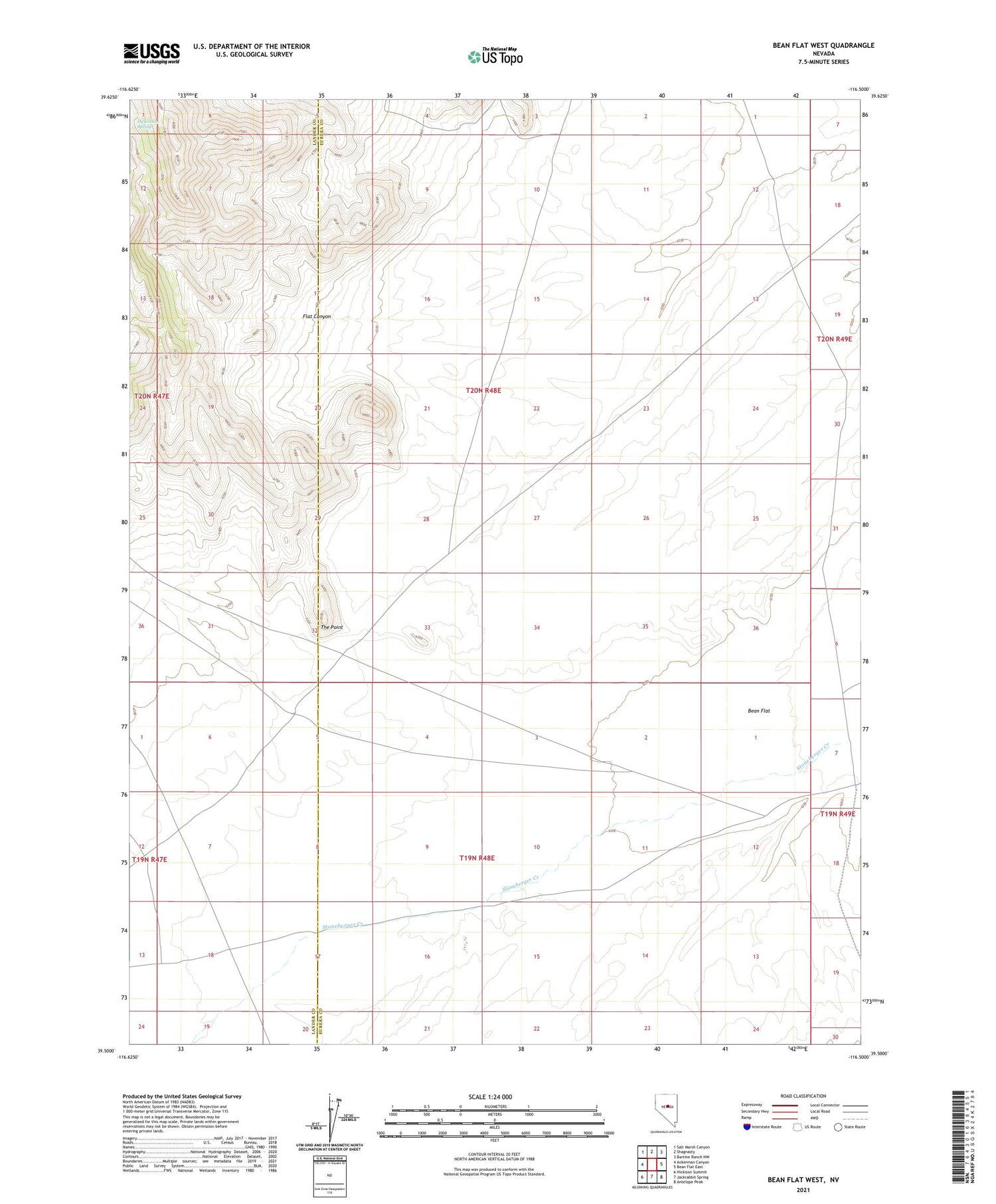
2021 topographic map quadrangle Bean Flat West in the state of Nevada. Scale: 1:24000. Based on the newly updated USGS 7.5' US Topo map series, this map is in the following counties: Eureka, Lander. The map contains contour data, water features, and other items you are used to seeing on USGS maps, but also has updated roads and other features. This is the next generation of topographic maps. Printed on high-quality waterproof paper with UV fade-resistant inks.
Quads adjacent to this one:
West: Ackerman Canyon
Northwest: Salt Marsh Canyon
North: Shagnasty
Northeast: Bartine Ranch NW
East: Bean Flat East
Southeast: Antelope Peak
South: Jackrabbit Spring
Southwest: Hickison Summit
Contains the following named places: Deep Creek Station, Dickenson Spring, Flat Canyon, Stoneberger Creek, The Point, Water Canyon Creek, Woods Well, Woods Well Two