MyTopo
Blowout Mountain Nevada US Topo Map
Couldn't load pickup availability
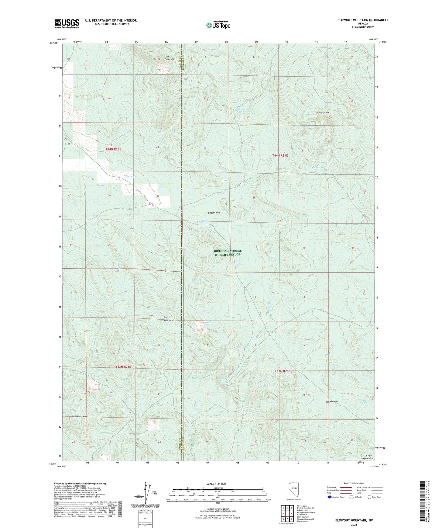
2021 topographic map quadrangle Blowout Mountain in the state of Nevada. Scale: 1:24000. Based on the newly updated USGS 7.5' US Topo map series, this map is in the following counties: Humboldt, Washoe. The map contains contour data, water features, and other items you are used to seeing on USGS maps, but also has updated roads and other features. This is the next generation of topographic maps. Printed on high-quality waterproof paper with UV fade-resistant inks.
Quads adjacent to this one:
West: Badger Mountain NW
Northwest: Swan Lake
North: Catnip Mountain SE
Northeast: Gooch Lake
East: Alkali Peak
Southeast: Bear Buttes
South: Badger Mountain SE
Southwest: Nut Mountain
This map covers the same area as the classic USGS quad with code o41119f3.
Contains the following named places: Badger Cabin, Badger Flat, Blowout Mountain, Cottonwood Spring, Crystal Spring, Fish Creek Mountain, Rodero Flat, Rodero Springs, Smith Lake