MyTopo
Button Lake Well Nevada US Topo Map
Couldn't load pickup availability
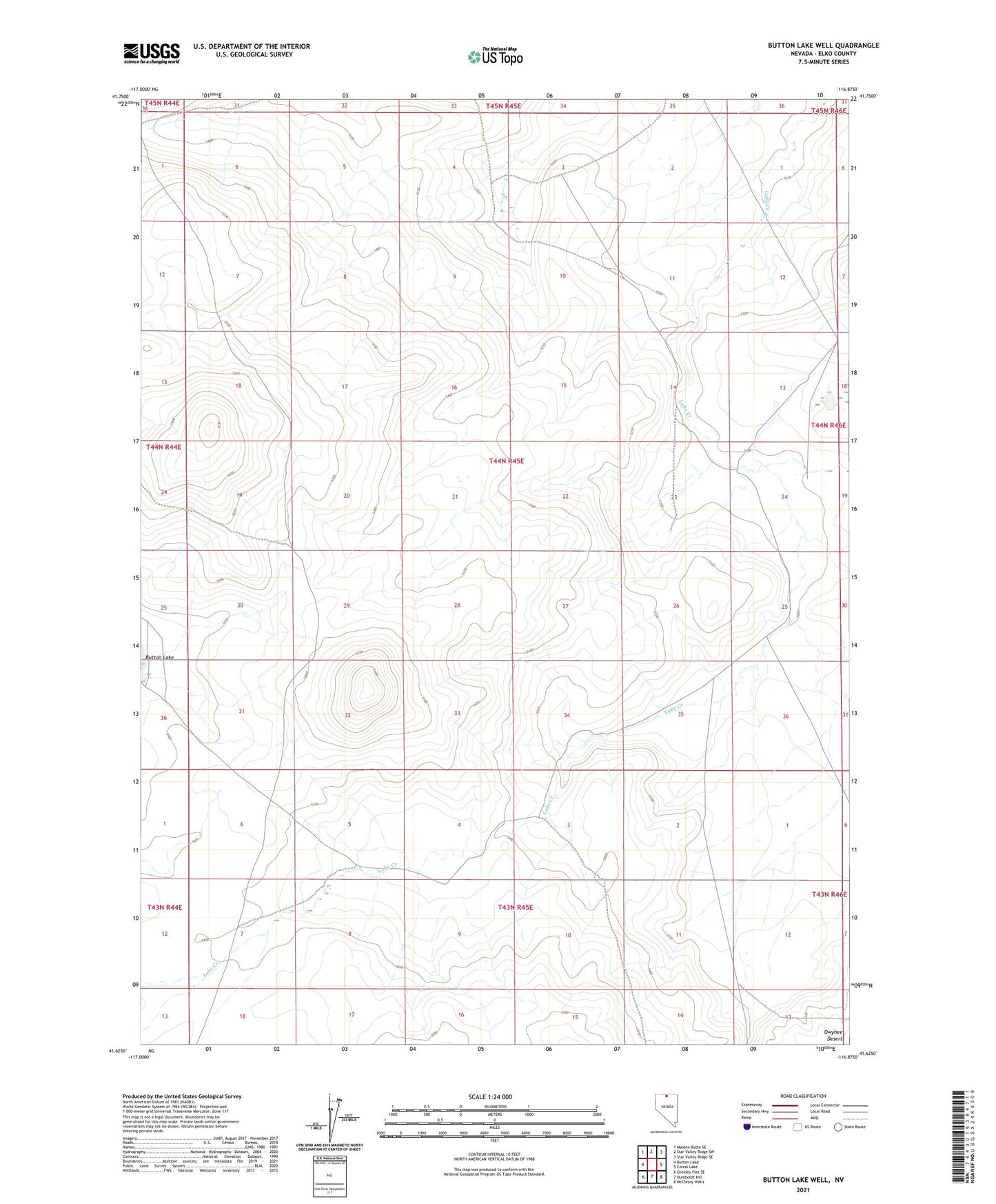
2021 topographic map quadrangle Button Lake Well in the state of Nevada. Scale: 1:24000. Based on the newly updated USGS 7.5' US Topo map series, this map is in the following counties: Elko. The map contains contour data, water features, and other items you are used to seeing on USGS maps, but also has updated roads and other features. This is the next generation of topographic maps. Printed on high-quality waterproof paper with UV fade-resistant inks.
Quads adjacent to this one:
West: Button Lake
Northwest: Maiden Butte SE
North: Star Valley Ridge SW
Northeast: Star Valley Ridge SE
East: Corral Lake
Southeast: McCleary Wells
South: Humboldt Hill
Southwest: Greeley Flat SE
This map covers the same area as the classic USGS quad with code o41116f8.
Contains the following named places: Button Lake Well, Corral Lake Well