MyTopo
Cow Camp Nevada US Topo Map
Couldn't load pickup availability
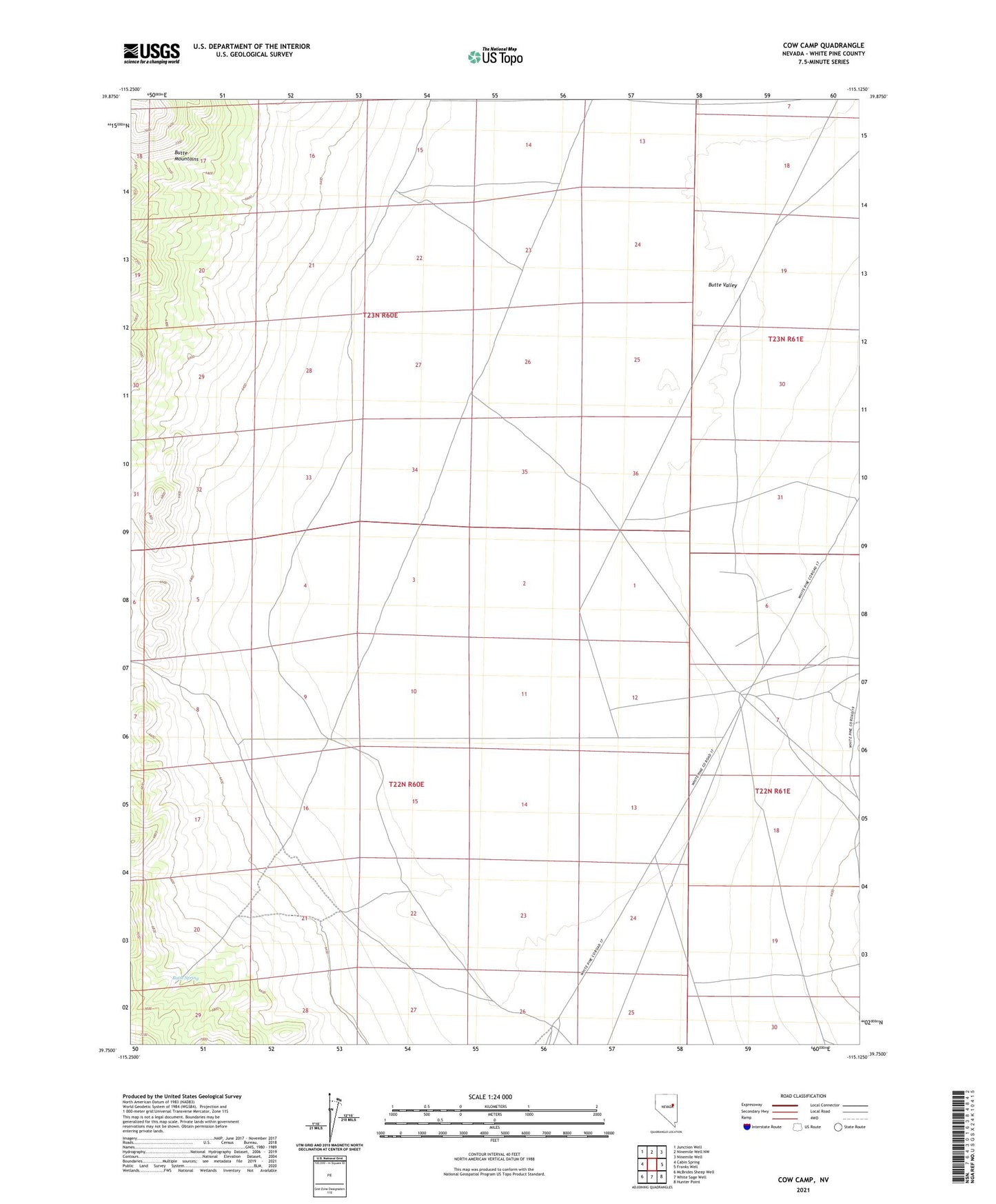
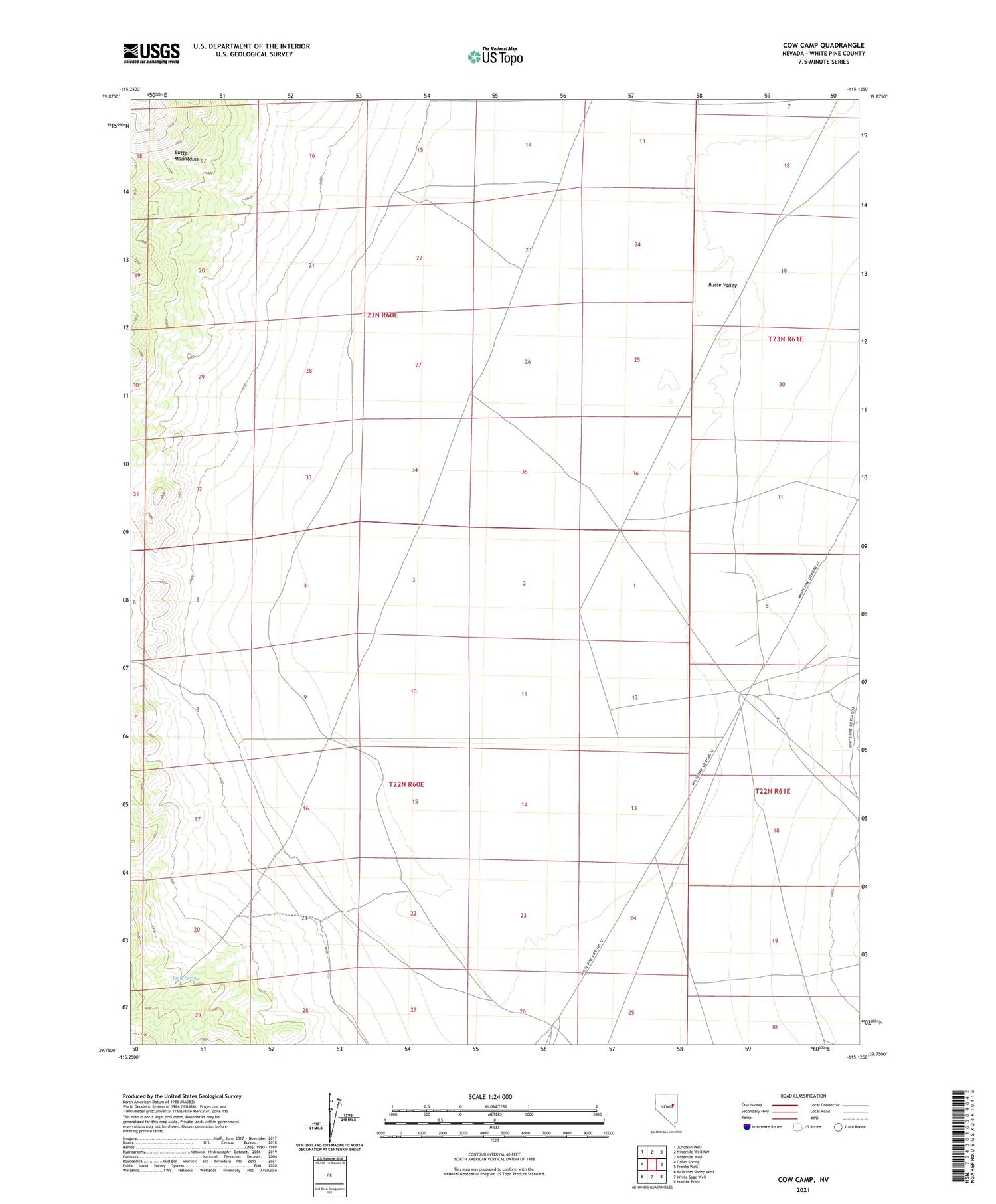
2021 topographic map quadrangle Cow Camp in the state of Nevada. Scale: 1:24000. Based on the newly updated USGS 7.5' US Topo map series, this map is in the following counties: White Pine. The map contains contour data, water features, and other items you are used to seeing on USGS maps, but also has updated roads and other features. This is the next generation of topographic maps. Printed on high-quality waterproof paper with UV fade-resistant inks.
Quads adjacent to this one:
West: Cabin Spring
Northwest: Junction Well
North: Ninemile Well NW
Northeast: Ninemile Well
East: Franks Well
Southeast: Hunter Point
South: White Sage Well
Southwest: McBrides Sheep Well
This map covers the same area as the classic USGS quad with code o39115g2.
Contains the following named places: Butte Spring, Butte Valley, Cow Camp, Robison Well, Rye Grass Well, Uhalde Well