MyTopo
Deadman Spring Nevada US Topo Map
Couldn't load pickup availability
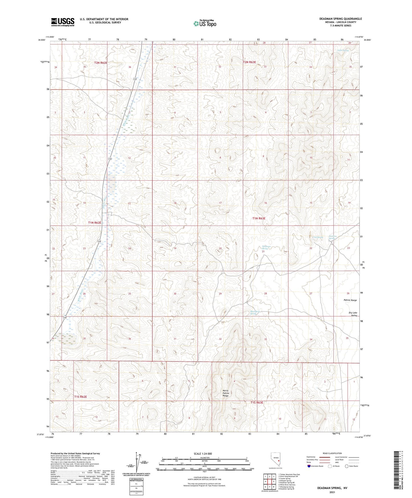
2021 topographic map quadrangle Deadman Spring in the state of Nevada. Scale: 1:24000. Based on the newly updated USGS 7.5' US Topo map series, this map is in the following counties: Lincoln. The map contains contour data, water features, and other items you are used to seeing on USGS maps, but also has updated roads and other features. This is the next generation of topographic maps. Printed on high-quality waterproof paper with UV fade-resistant inks.
Quads adjacent to this one:
West: Weepah Spring
Northwest: Timber Mountain Pass East
North: Silver King Mountain SW
Northeast: Coyote Spring
East: Deadman Spring NE
Southeast: Deadman Spring SE
South: Wheatgrass Spring
Southwest: White River Narrows
This map covers the same area as the classic USGS quad with code o37114h8.
Contains the following named places: Black Rock Spring, Cabin Spring, Coal Spring, Deadman Spring, Hamiton Spring