MyTopo
Desert Peak Nevada US Topo Map
Couldn't load pickup availability
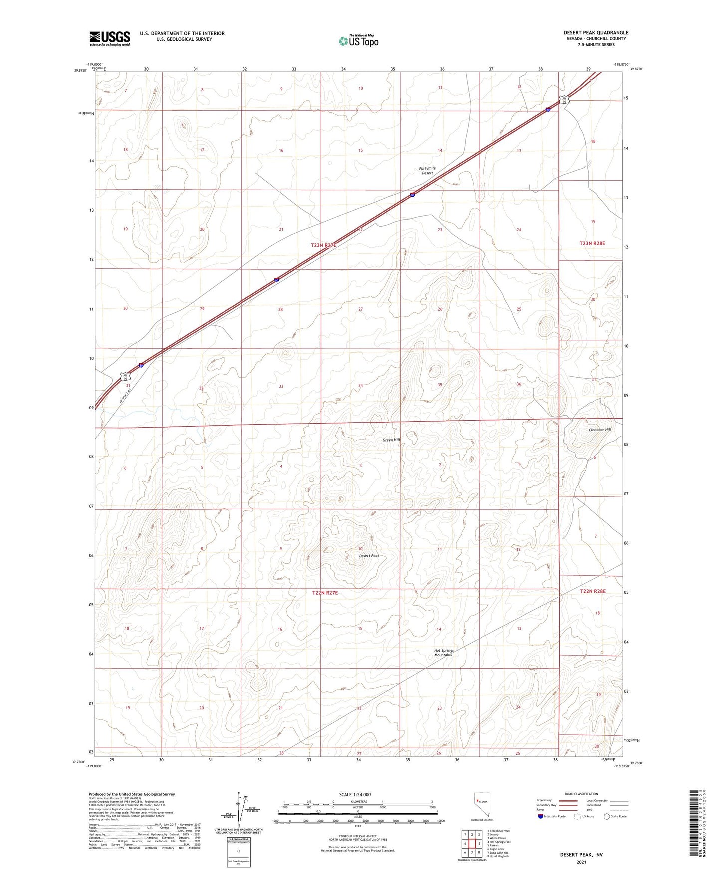
2021 topographic map quadrangle Desert Peak in the state of Nevada. Scale: 1:24000. Based on the newly updated USGS 7.5' US Topo map series, this map is in the following counties: Churchill. The map contains contour data, water features, and other items you are used to seeing on USGS maps, but also has updated roads and other features. This is the next generation of topographic maps. Printed on high-quality waterproof paper with UV fade-resistant inks.
Quads adjacent to this one:
West: Hot Springs Flat
Northwest: Telephone Well
North: Jessup
Northeast: White Plains
East: Parran
Southeast: Upsal Hogback
South: Soda Lake NW
Southwest: Eagle Rock
Contains the following named places: Cinnabar Hill, Desert Mining District, Desert Peak, Desert Queen Mine, Fallon Eagle Mine, Fillmore, Fillmore Post Office, Green Hill, Mirage