MyTopo
Dicalite Summit Nevada US Topo Map
Couldn't load pickup availability
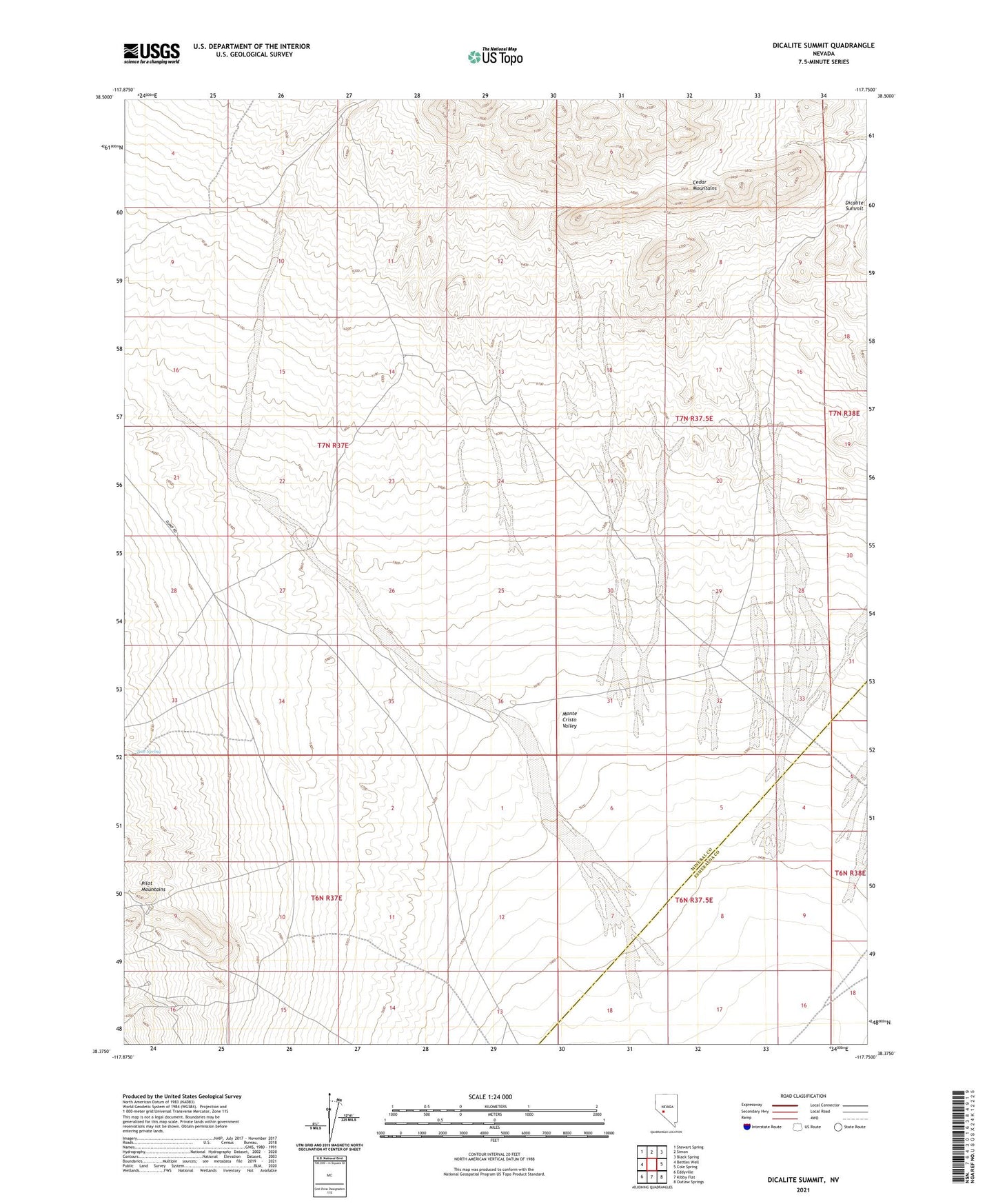
2021 topographic map quadrangle Dicalite Summit in the state of Nevada. Scale: 1:24000. Based on the newly updated USGS 7.5' US Topo map series, this map is in the following counties: Mineral, Esmeralda. The map contains contour data, water features, and other items you are used to seeing on USGS maps, but also has updated roads and other features. This is the next generation of topographic maps. Printed on high-quality waterproof paper with UV fade-resistant inks.
Quads adjacent to this one:
West: Bettles Well
Northwest: Stewart Spring
North: Simon
Northeast: Black Spring
East: Cole Spring
Southeast: Outlaw Springs
South: Kibby Flat
Southwest: Eddyville
Contains the following named places: Desert Scheelite Mine, Dicalite Summit, Good Hope Mine, Montezuma Mine, Tree Spring