MyTopo
Kibby Flat Nevada US Topo Map
Couldn't load pickup availability
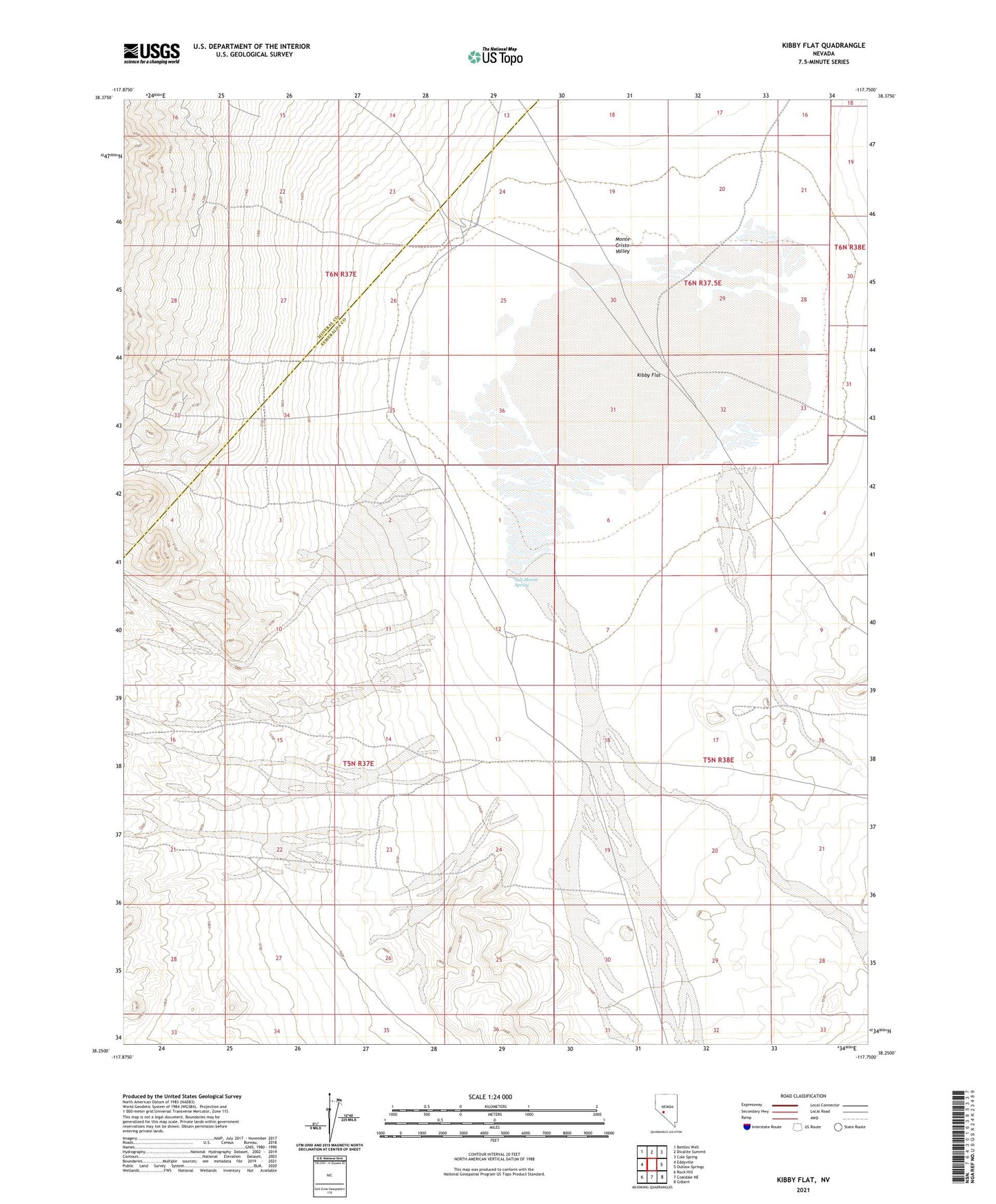
2021 topographic map quadrangle Kibby Flat in the state of Nevada. Scale: 1:24000. Based on the newly updated USGS 7.5' US Topo map series, this map is in the following counties: Esmeralda, Mineral. The map contains contour data, water features, and other items you are used to seeing on USGS maps, but also has updated roads and other features. This is the next generation of topographic maps. Printed on high-quality waterproof paper with UV fade-resistant inks.
Quads adjacent to this one:
West: Eddyville
Northwest: Bettles Well
North: Dicalite Summit
Northeast: Cole Spring
East: Outlaw Springs
Southeast: Gilbert
South: Coaldale NE
Southwest: Rock Hill
This map covers the same area as the classic USGS quad with code o38117c7.
Contains the following named places: Dry Lake, Dunham Mill Site, Kibby Flat, Kibby Flat Well, Micro Wave Well, Monte Cristo Oil Corporation Well, Monte Cristo Valley, Salt Marsh Spring, Tiffany Mine