MyTopo
Emerson Pass Nevada US Topo Map
Couldn't load pickup availability
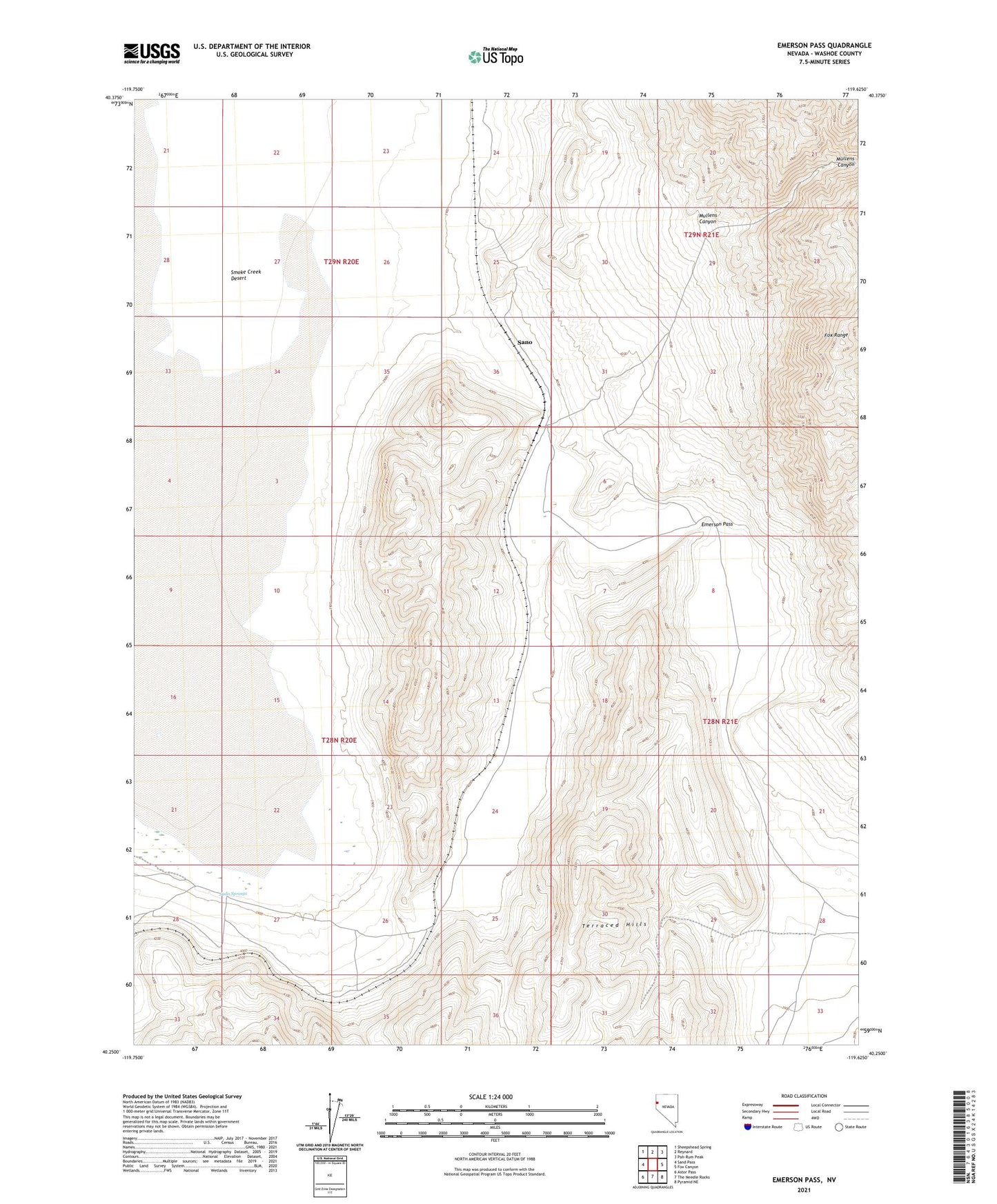
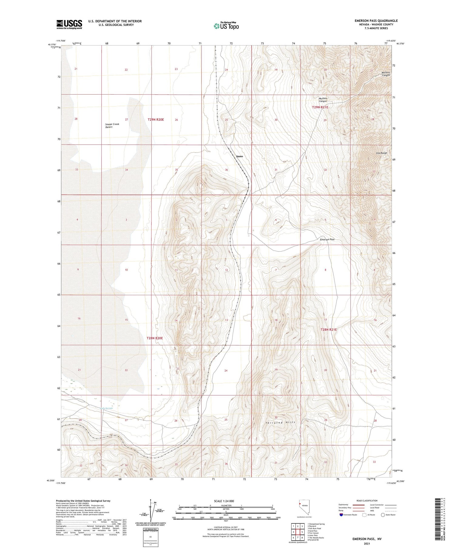
2021 topographic map quadrangle Emerson Pass in the state of Nevada. Scale: 1:24000. Based on the newly updated USGS 7.5' US Topo map series, this map is in the following counties: Washoe. The map contains contour data, water features, and other items you are used to seeing on USGS maps, but also has updated roads and other features. This is the next generation of topographic maps. Printed on high-quality waterproof paper with UV fade-resistant inks.
Quads adjacent to this one:
West: Sand Pass
Northwest: Sheepshead Spring
North: Reynard
Northeast: Pah-Rum Peak
East: Fox Canyon
Southeast: Pyramid NE
South: The Needle Rocks
Southwest: Astor Pass
Contains the following named places: Bryant, Emerson Pass, Mullens Canyon, Packard Mine, Sano, Sano Mine, Soda Springs