
MyTopo
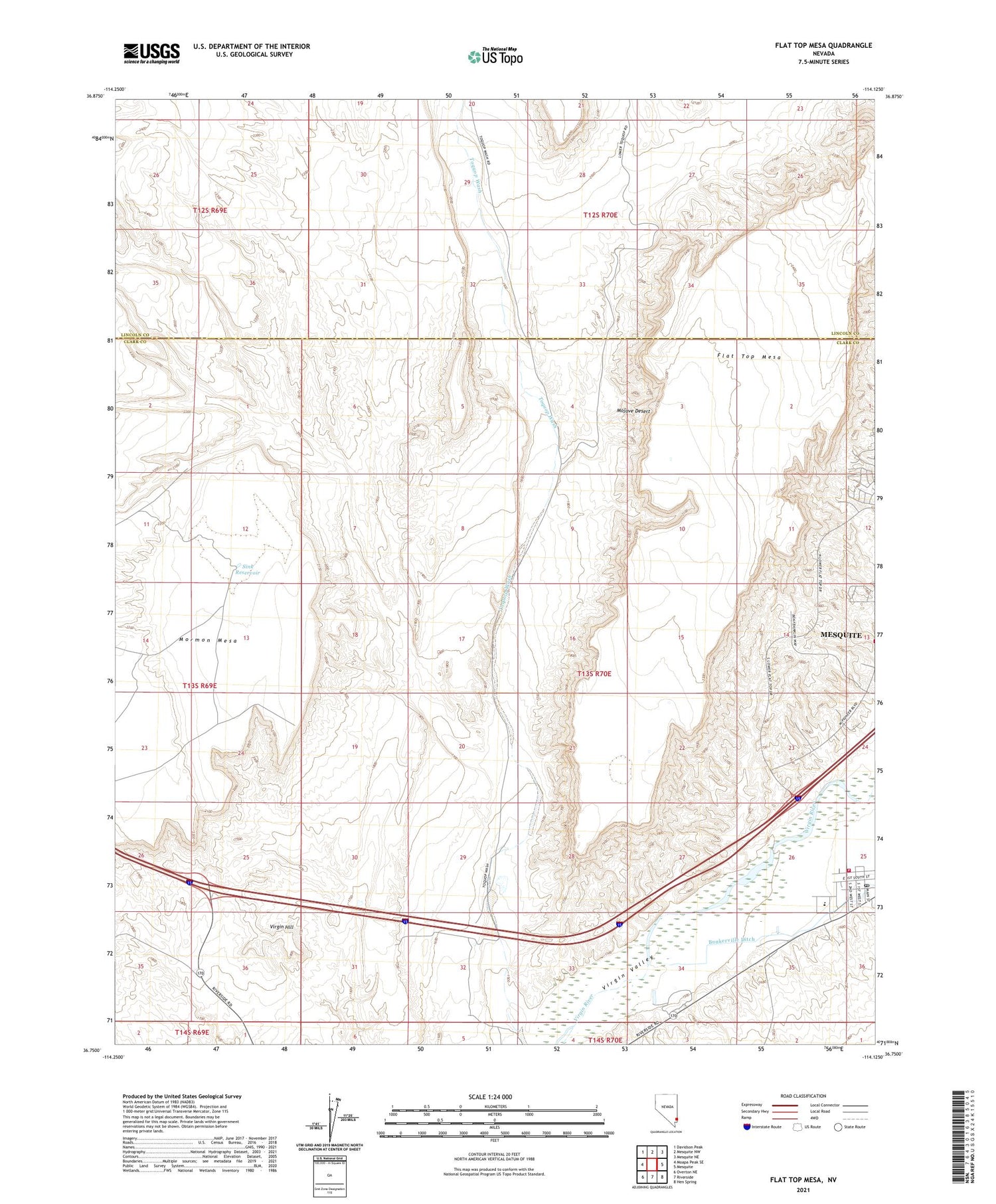
Flat Top Mesa Nevada US Topo Map
Couldn't load pickup availability
2021 topographic map quadrangle Flat Top Mesa in the state of Nevada. Scale: 1:24000. Based on the newly updated USGS 7.5' US Topo map series, this map is in the following counties: Clark, Lincoln. The map contains contour data, water features, and other items you are used to seeing on USGS maps, but also has updated roads and other features. This is the next generation of topographic maps. Printed on high-quality waterproof paper with UV fade-resistant inks.
Quads adjacent to this one:
West: Moapa Peak SE
Northwest: Davidson Peak
North: Mesquite NW
Northeast: Mesquite NE
East: Mesquite
Southeast: Hen Spring
South: Riverside
Southwest: Overton NE
Contains the following named places: Bunkerville, Bunkerville Census Designated Place, Bunkerville Community Center, Bunkerville Post Office, City of Mesquite, Clark County Fire Department Station 71, Joseph Bowler Elementary School, Sink Reservoir, Thomas Leavitt Memorial Park, Toquop Wash, Virgin Hill


