MyTopo
Moapa Peak SE Nevada US Topo Map
Couldn't load pickup availability
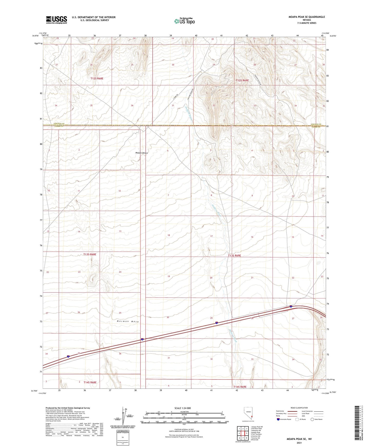
2021 topographic map quadrangle Moapa Peak SE in the state of Nevada. Scale: 1:24000. Based on the newly updated USGS 7.5' US Topo map series, this map is in the following counties: Clark, Lincoln. The map contains contour data, water features, and other items you are used to seeing on USGS maps, but also has updated roads and other features. This is the next generation of topographic maps. Printed on high-quality waterproof paper with UV fade-resistant inks.
Quads adjacent to this one:
West: Moapa Peak
Northwest: Moapa Peak NW
North: Davidson Peak
Northeast: Mesquite NW
East: Flat Top Mesa
Southeast: Riverside
South: Overton NE
Southwest: Overton NW
This map covers the same area as the classic USGS quad with code o36114g3.
Contains the following named places: Old Spanish Trail