
MyTopo
Godeys Rock Nevada US Topo Map
Couldn't load pickup availability
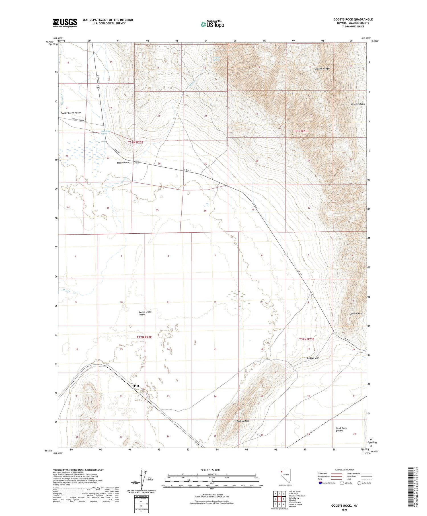
2021 topographic map quadrangle Godeys Rock in the state of Nevada. Scale: 1:24000. Based on the newly updated USGS 7.5' US Topo map series, this map is in the following counties: Washoe. The map contains contour data, water features, and other items you are used to seeing on USGS maps, but also has updated roads and other features. This is the next generation of topographic maps. Printed on high-quality waterproof paper with UV fade-resistant inks.
Quads adjacent to this one:
West: Wall Spring
Northwest: Squaw Valley
North: The Banjo
Northeast: Hualapai Flat South
East: Gerlach
Southeast: Empire
South: West of Empire
Southwest: Smith Canyon
Contains the following named places: Bloody Point, Deep Hole, Deep Hole Post Office, Deep Hole Spring, Deephole Ranch, Gerlach Spring, Godeys Gap, Godeys Rock, Granite Point, Granite Range, Lingenfelter Ranch, Millers, Phil, Water Tunnels Mine


