MyTopo
Squaw Valley Nevada US Topo Map
Couldn't load pickup availability
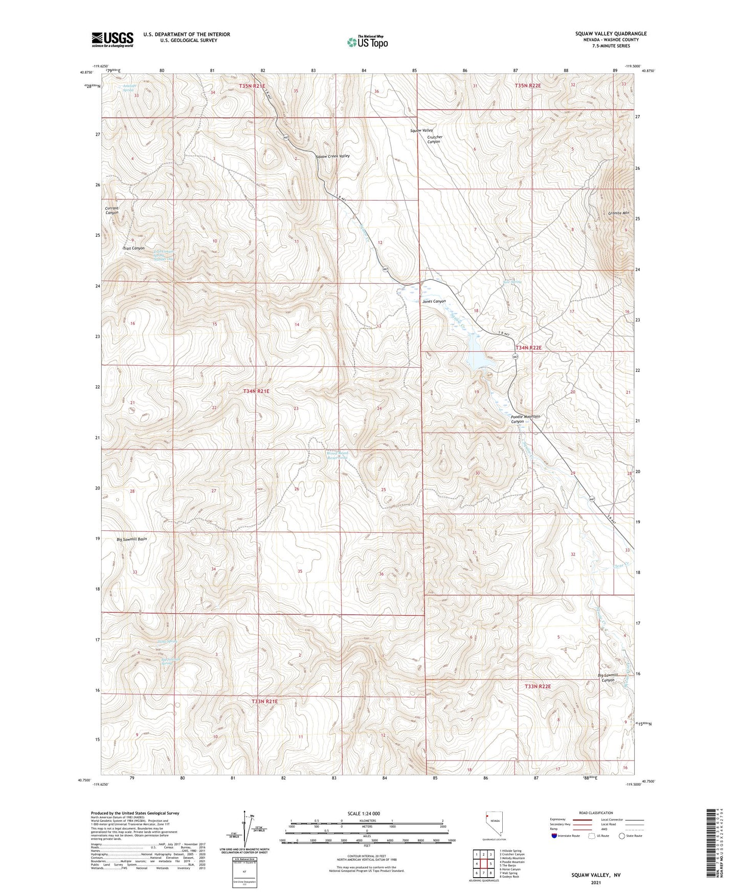
2023 topographic map quadrangle Squaw Valley in the state of Nevada. Scale: 1:24000. Based on the newly updated USGS 7.5' US Topo map series, this map is in the following counties: Washoe. The map contains contour data, water features, and other items you are used to seeing on USGS maps, but also has updated roads and other features. This is the next generation of topographic maps. Printed on high-quality waterproof paper with UV fade-resistant inks.
Quads adjacent to this one:
West: Poodle Mountain
Northwest: Hillside Spring
North: Crutcher Canyon
Northeast: Melody Mountain
East: The Banjo
Southeast: Godeys Rock
South: Wall Spring
Southwest: Horse Canyon
This map covers the same area as the classic USGS quad with code o40119g5.
Contains the following named places: Antelope Spring, Big Sawmill Canyon, Big Sawmill Spring, Charles Nashs Mine, Clear Creek, Crutcher Canyon, Currant Canyon, Fisk Ranch, Gerlach Township, Granite Mountain, Jones Canyon, Lakeview Mine, Mountain View Mine, New Spring, Poodle Mountain Canyon, Silver Bell Mine, Squaw Valley, Squaw Valley Creek Dam, Squaw Valley Ranch, Squaw Valley Reservoir, Table Spring, Trail Canyon, Trail Canyon Spring Number One, Wood Road Reservoirs