MyTopo
Smith Canyon Nevada US Topo Map
Couldn't load pickup availability
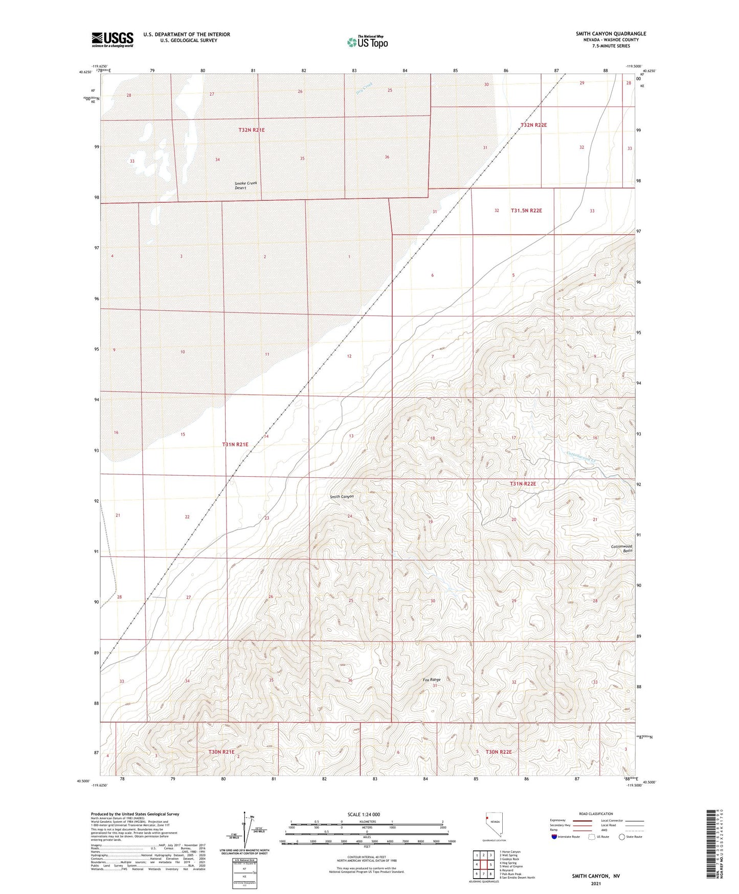
2021 topographic map quadrangle Smith Canyon in the state of Nevada. Scale: 1:24000. Based on the newly updated USGS 7.5' US Topo map series, this map is in the following counties: Washoe. The map contains contour data, water features, and other items you are used to seeing on USGS maps, but also has updated roads and other features. This is the next generation of topographic maps. Printed on high-quality waterproof paper with UV fade-resistant inks.
Quads adjacent to this one:
West: Hog Spring
Northwest: Horse Canyon
North: Wall Spring
Northeast: Godeys Rock
East: West of Empire
Southeast: San Emidio Desert North
South: Pah-Rum Peak
Southwest: Reynard
This map covers the same area as the classic USGS quad with code o40119e5.
Contains the following named places: Bronte, Cottonwood Basin, Dry Creek, Modoc Mine, Silver Fox Mine, Smith Canyon