MyTopo
Granite Point Nevada US Topo Map
Couldn't load pickup availability
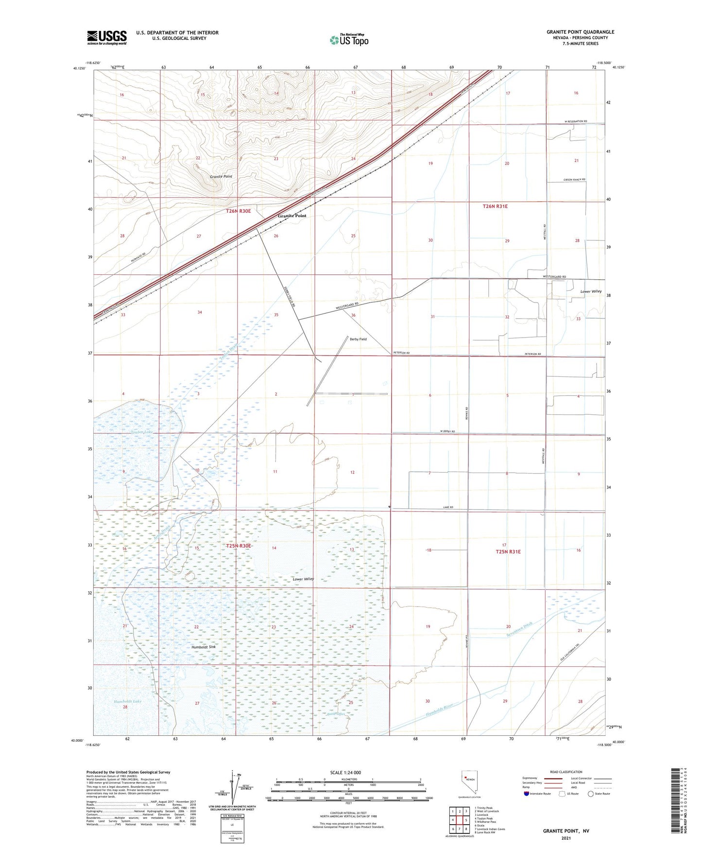
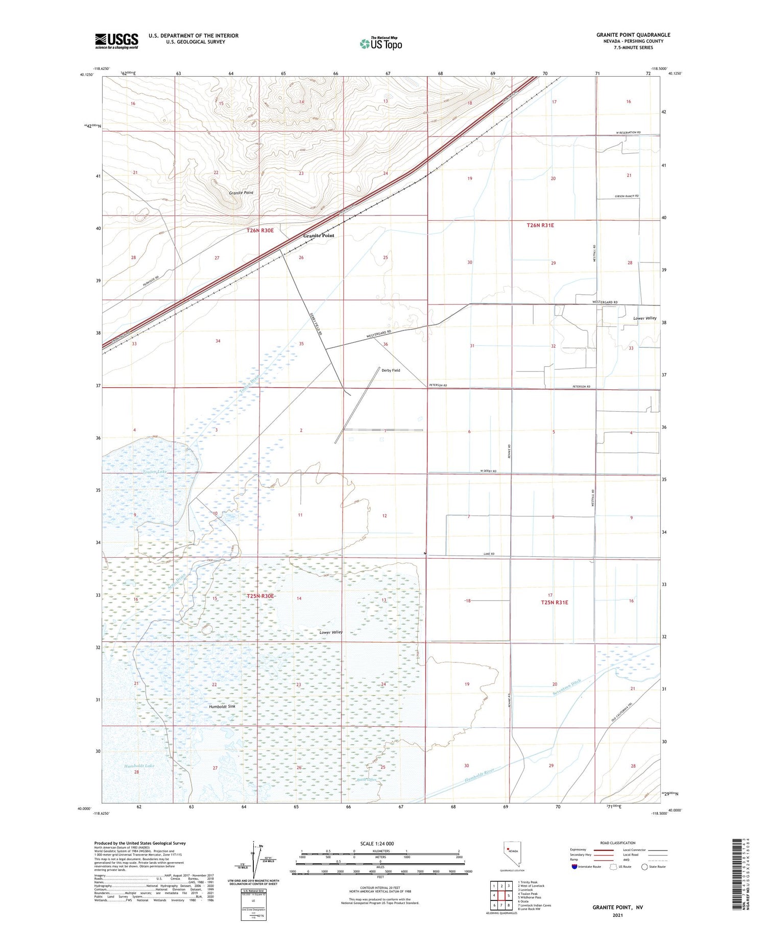
2021 topographic map quadrangle Granite Point in the state of Nevada. Scale: 1:24000. Based on the newly updated USGS 7.5' US Topo map series, this map is in the following counties: Pershing. The map contains contour data, water features, and other items you are used to seeing on USGS maps, but also has updated roads and other features. This is the next generation of topographic maps. Printed on high-quality waterproof paper with UV fade-resistant inks.
Quads adjacent to this one:
West: Toulon Peak
Northwest: Trinity Peak
North: West of Lovelock
Northeast: Lovelock
East: Wildhorse Pass
Southeast: Lone Rock NW
South: Lovelock Indian Caves
Southwest: Ocala
Contains the following named places: Army Drain, Battle Lakes, Cooks, Derby Field, Granite Point, Lakeshore Ditch, Lower Valley, Lower Valley School, Murphys Station, Toulon Drain