MyTopo
Wildhorse Pass Nevada US Topo Map
Couldn't load pickup availability
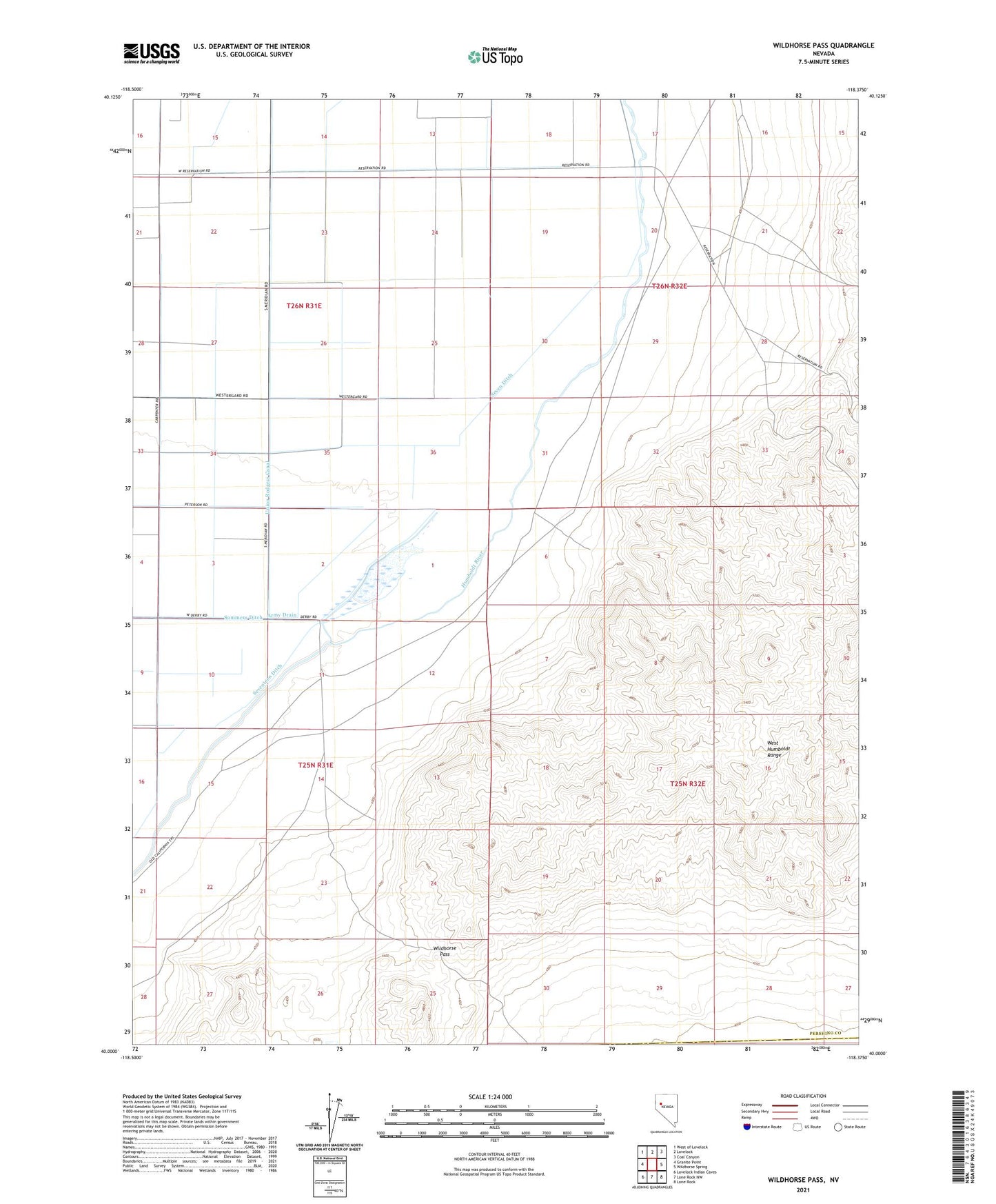
2021 topographic map quadrangle Wildhorse Pass in the state of Nevada. Scale: 1:24000. Based on the newly updated USGS 7.5' US Topo map series, this map is in the following counties: Pershing, Churchill. The map contains contour data, water features, and other items you are used to seeing on USGS maps, but also has updated roads and other features. This is the next generation of topographic maps. Printed on high-quality waterproof paper with UV fade-resistant inks.
Quads adjacent to this one:
West: Granite Point
Northwest: West of Lovelock
North: Lovelock
Northeast: Coal Canyon
East: Wildhorse Spring
Southeast: Lone Rock
South: Lone Rock NW
Southwest: Lovelock Indian Caves
This map covers the same area as the classic USGS quad with code o40118a4.
Contains the following named places: Big Five Canal, Big Five Dam, Big Five Reservoir, Cottonwood Ranch, Goodview Mine, Long Mine, Old California Trail, Seven Ditch, Seventeen Ditch, Sommers Ditch, Tule Ranch, Wildhorse Pass