MyTopo
Home Station Ranch Nevada US Topo Map
Couldn't load pickup availability
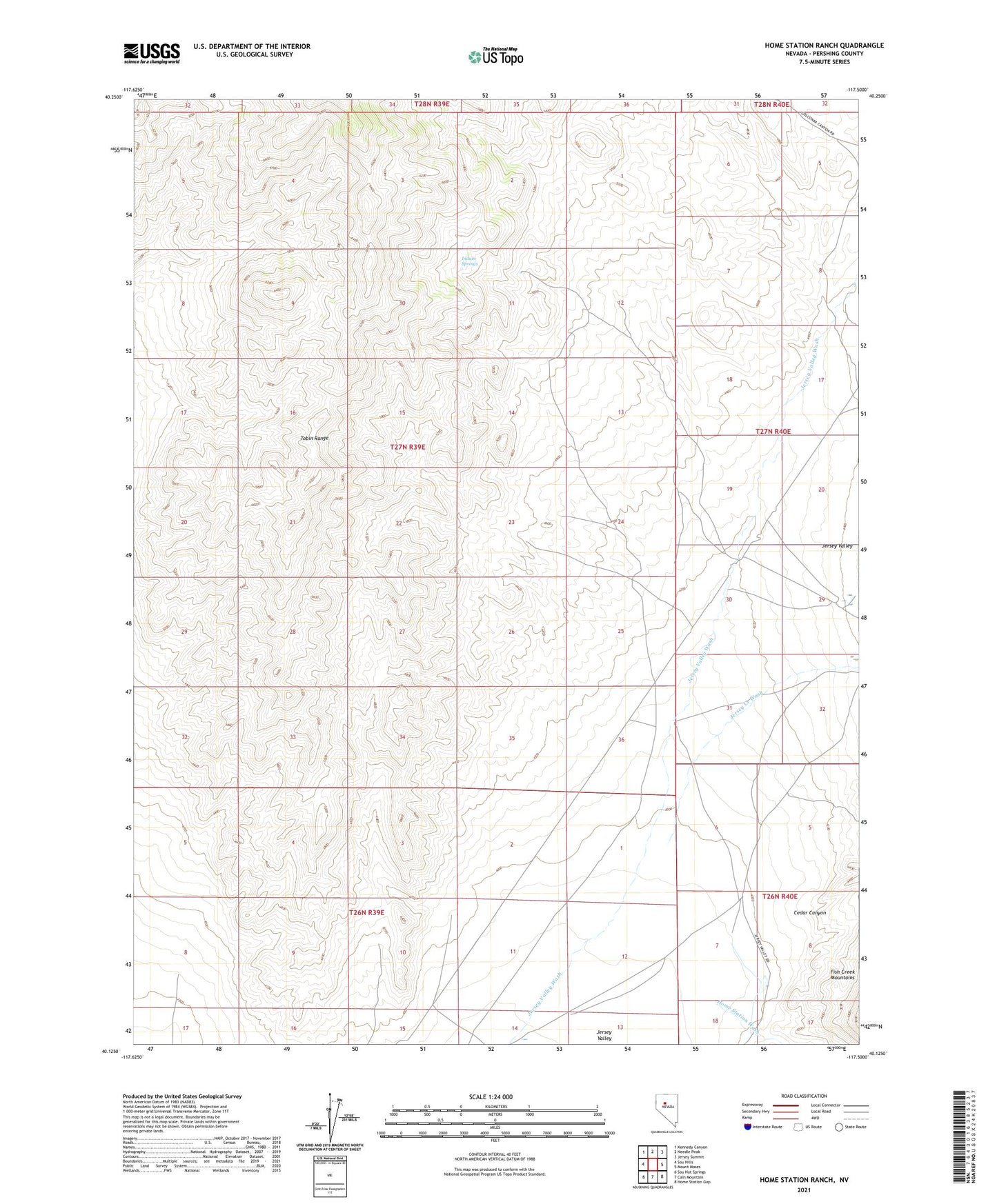
2021 topographic map quadrangle Home Station Ranch in the state of Nevada. Scale: 1:24000. Based on the newly updated USGS 7.5' US Topo map series, this map is in the following counties: Pershing. The map contains contour data, water features, and other items you are used to seeing on USGS maps, but also has updated roads and other features. This is the next generation of topographic maps. Printed on high-quality waterproof paper with UV fade-resistant inks.
Quads adjacent to this one:
West: Sou Hills
Northwest: Kennedy Canyon
North: Needle Peak
Northeast: Jersey Summit
East: Mount Moses
Southeast: Home Station Gap
South: Cain Mountain
Southwest: Sou Hot Springs
Contains the following named places: Cedar Canyon, Home Station Ranch, Home Station Wash, Indian Springs, Jersey Creek Wash, McCoy Well, Southern Zeolite Mine