
MyTopo
Huntoon Valley Nevada US Topo Map
Couldn't load pickup availability
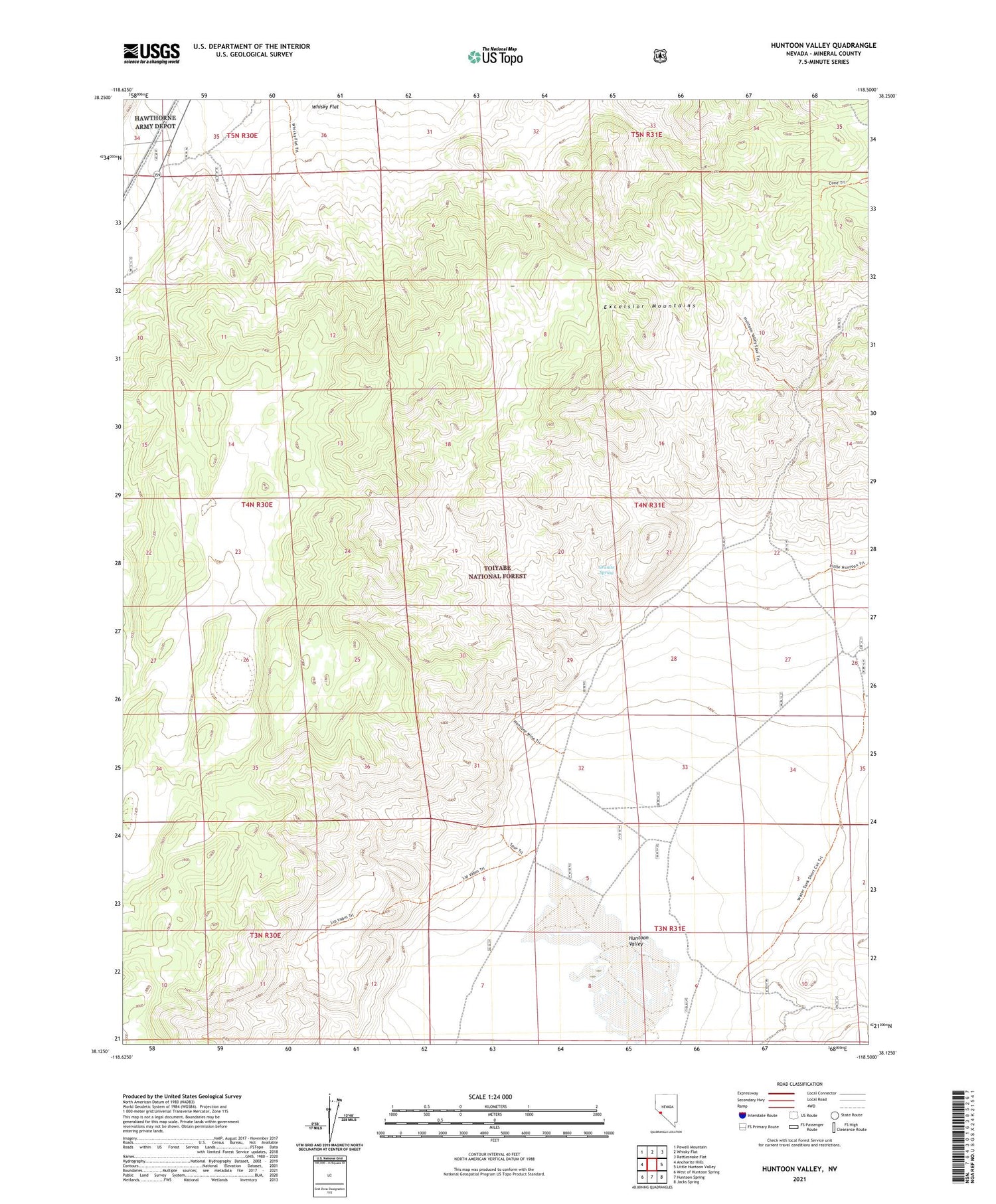
2021 topographic map quadrangle Huntoon Valley in the state of Nevada. Scale: 1:24000. Based on the newly updated USGS 7.5' US Topo map series, this map is in the following counties: Mineral. The map contains contour data, water features, and other items you are used to seeing on USGS maps, but also has updated roads and other features. This is the next generation of topographic maps. Printed on high-quality waterproof paper with UV fade-resistant inks.
Quads adjacent to this one:
West: Anchorite Hills
Northwest: Powell Mountain
North: Whisky Flat
Northeast: Rattlesnake Flat
East: Little Huntoon Valley
Southeast: Jacks Spring
South: Huntoon Spring
Southwest: West of Huntoon Spring
Contains the following named places: Cow Camp, Government Well, Granite Spring, Hontone Mine, Huntoon Valley, Huntoon Valley Well Number One


