MyTopo
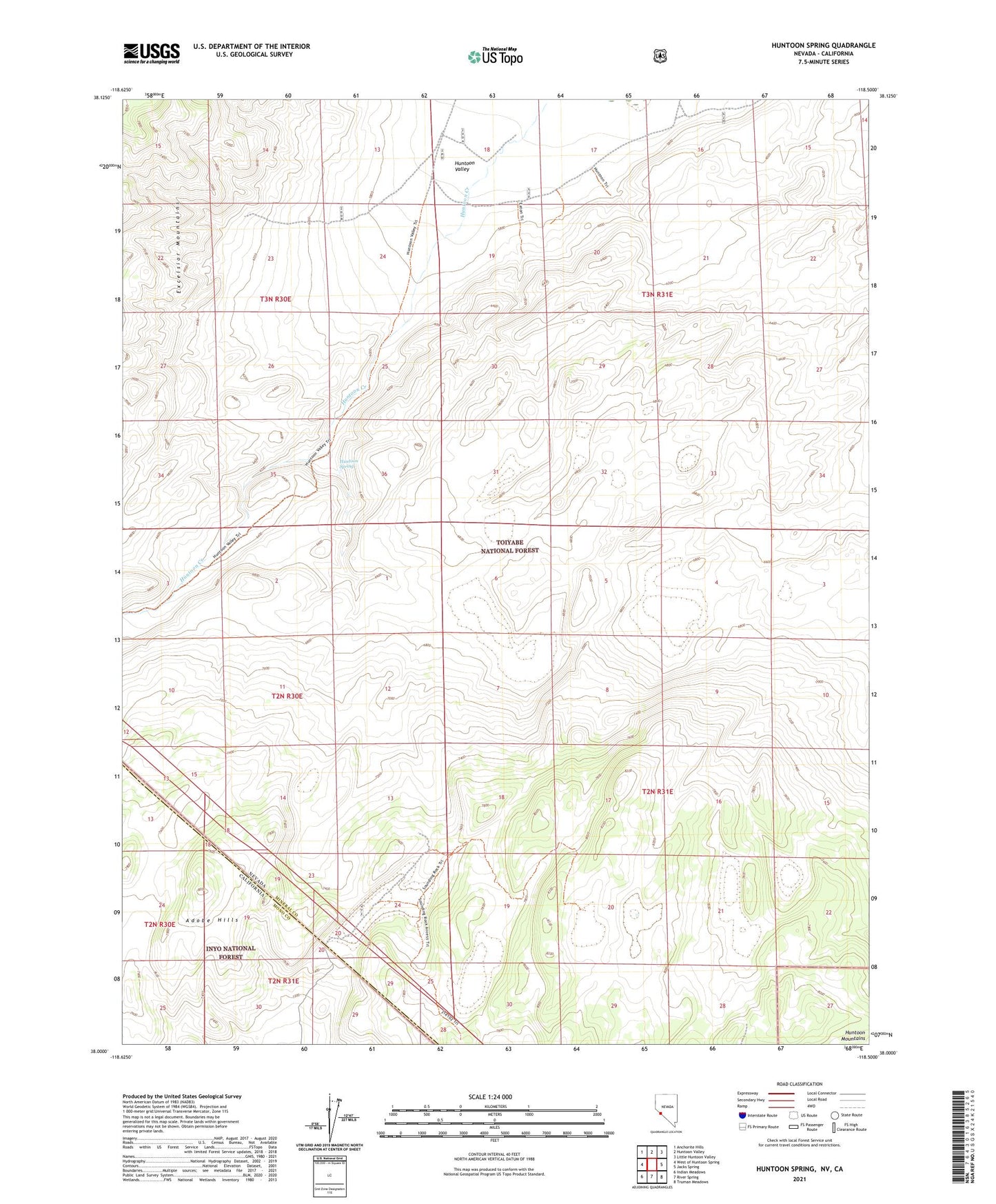
Huntoon Spring Nevada US Topo Map
Couldn't load pickup availability
Also explore the Huntoon Spring Forest Service Topo of this same quad for updated USFS data
2021 topographic map quadrangle Huntoon Spring in the states of California, Nevada. Scale: 1:24000. Based on the newly updated USGS 7.5' US Topo map series, this map is in the following counties: Mineral, Mono. The map contains contour data, water features, and other items you are used to seeing on USGS maps, but also has updated roads and other features. This is the next generation of topographic maps. Printed on high-quality waterproof paper with UV fade-resistant inks.
Quads adjacent to this one:
West: West of Huntoon Spring
Northwest: Anchorite Hills
North: Huntoon Valley
Northeast: Little Huntoon Valley
East: Jacks Spring
Southeast: Truman Meadows
South: River Spring
Southwest: Indian Meadows
This map covers the same area as the classic USGS quad with code o38118a5.
Contains the following named places: Adobe Hills, Huntoon Creek, Huntoon Spring