MyTopo
Massacre Creek Nevada US Topo Map
Couldn't load pickup availability
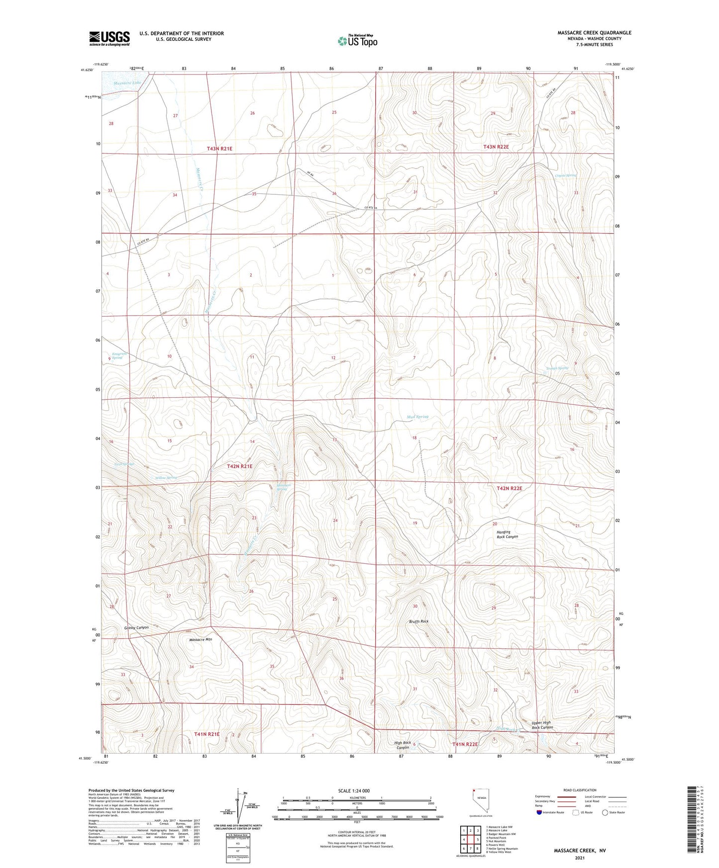
2021 topographic map quadrangle Massacre Creek in the state of Nevada. Scale: 1:24000. Based on the newly updated USGS 7.5' US Topo map series, this map is in the following counties: Washoe. The map contains contour data, water features, and other items you are used to seeing on USGS maps, but also has updated roads and other features. This is the next generation of topographic maps. Printed on high-quality waterproof paper with UV fade-resistant inks.
Quads adjacent to this one:
West: Painted Point
Northwest: Massacre Lake NW
North: Massacre Lake
Northeast: Badger Mountain NW
East: Nut Mountain
Southeast: Yellow Hills West
South: Nellie Spring Mountain
Southwest: Powers Well
This map covers the same area as the classic USGS quad with code o41119e5.
Contains the following named places: Bruffs Rock, Coyote Camp, Coyote Spring, Emigrant Spring, Massacre Mountain, Massacre Ranch, Massacre Spring, Mud Spring, Trough Spring, Twin Springs, Upper High Rock Canyon, Willow Spring