MyTopo
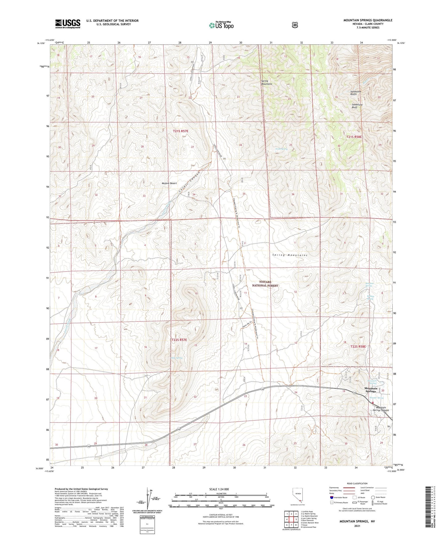
Mountain Springs Nevada US Topo Map
Couldn't load pickup availability
Also explore the Mountain Springs Forest Service Topo of this same quad for updated USFS data
2021 topographic map quadrangle Mountain Springs in the state of Nevada. Scale: 1:24000. Based on the newly updated USGS 7.5' US Topo map series, this map is in the following counties: Clark. The map contains contour data, water features, and other items you are used to seeing on USGS maps, but also has updated roads and other features. This is the next generation of topographic maps. Printed on high-quality waterproof paper with UV fade-resistant inks.
Quads adjacent to this one:
West: Lost Cabin Spring
Northwest: Griffith Peak
North: La Madre Spring
Northeast: La Madre Mountain
East: Blue Diamond
Southeast: Cottonwood Pass
South: Potosi
Southwest: Green Monster Mine
This map covers the same area as the classic USGS quad with code o36115a5.
Contains the following named places: Bootleg Spring, Clark County Fire Department Station 79, Lovell Canyon, Mountain Springs, Mountain Springs Summit, Mule Spring, Rainbow Mountain Wilderness, Rainbow Spring, Sandstone Bluff, South Spring, Warner Spring, ZIP Code: 89124