MyTopo
Oreana Nevada US Topo Map
Couldn't load pickup availability
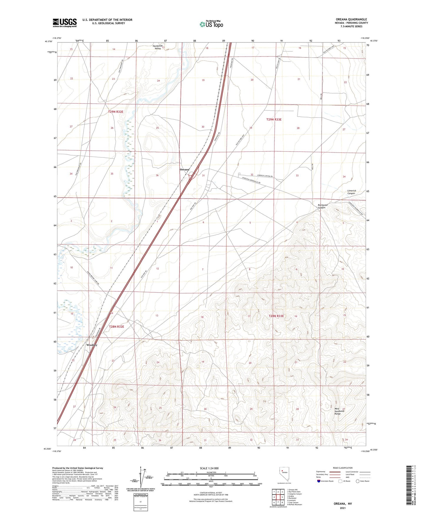
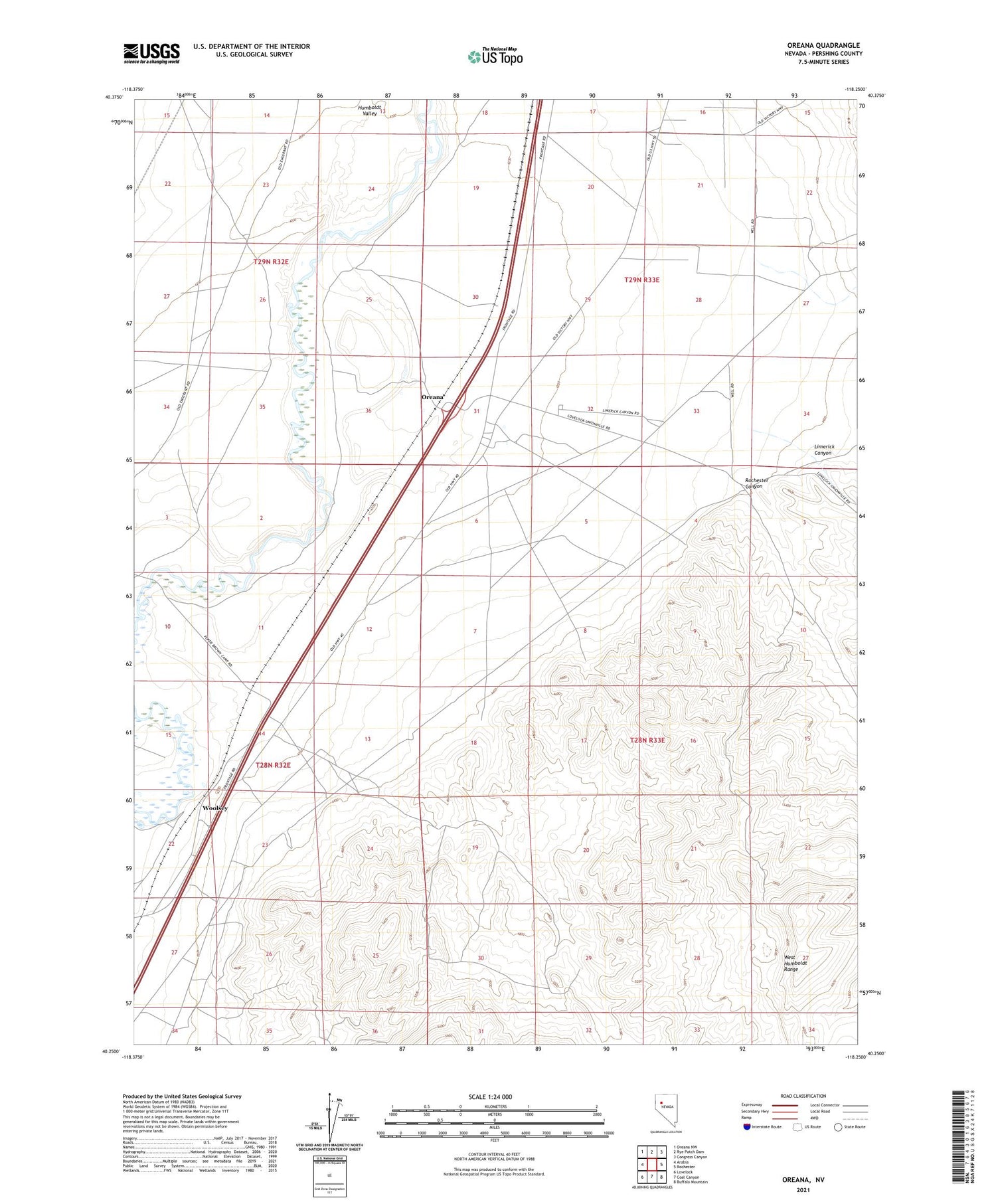
2021 topographic map quadrangle Oreana in the state of Nevada. Scale: 1:24000. Based on the newly updated USGS 7.5' US Topo map series, this map is in the following counties: Pershing. The map contains contour data, water features, and other items you are used to seeing on USGS maps, but also has updated roads and other features. This is the next generation of topographic maps. Printed on high-quality waterproof paper with UV fade-resistant inks.
Quads adjacent to this one:
West: Arabia
Northwest: Oreana NW
North: Rye Patch Dam
Northeast: Congress Canyon
East: Rochester
Southeast: Buffalo Mountain
South: Coal Canyon
Southwest: Lovelock
Contains the following named places: Adriene Mine, Cerini Ranch, Cole Ranch, County Fish Holding Pond, Crystal Lakes Trout Farm, Dad Lees, Etna, Etna Post Office, Horse Canon Creek, Johnson Heizer Mine, Junction House, Junction Station, Limerick Canyon, Limerick Wash, Oreana, Oreana Post Office, Rochester Canyon, Rosal Mine, Sanborn, Sanborn Post Office, Sheppard Ranch, Smith Ford, Torreytown, Willard Mine, Woolsey, Zola