MyTopo
Arabia Nevada US Topo Map
Couldn't load pickup availability
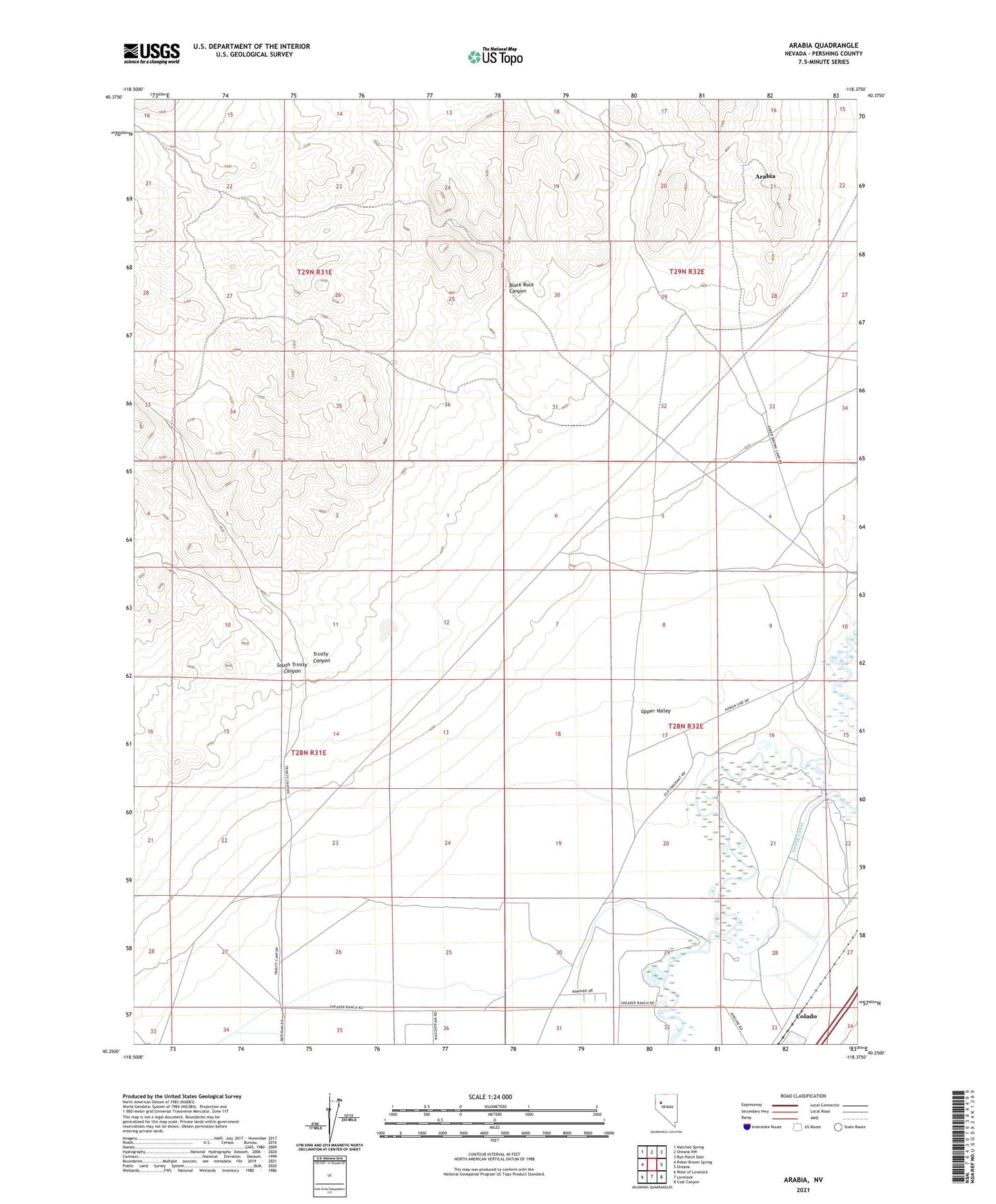
2021 topographic map quadrangle Arabia in the state of Nevada. Scale: 1:24000. Based on the newly updated USGS 7.5' US Topo map series, this map is in the following counties: Pershing. The map contains contour data, water features, and other items you are used to seeing on USGS maps, but also has updated roads and other features. This is the next generation of topographic maps. Printed on high-quality waterproof paper with UV fade-resistant inks.
Quads adjacent to this one:
West: Poker Brown Spring
Northwest: Natchez Spring
North: Oreana NW
Northeast: Rye Patch Dam
East: Oreana
Southeast: Coal Canyon
South: Lovelock
Southwest: West of Lovelock
This map covers the same area as the classic USGS quad with code o40118c4.
Contains the following named places: Arabia, Black Rock Canyon, Clarksville, Electric Mine, Evening Star Mine, Jersey Mine, Lake Township, Lucky Boy Mine, Mazuma Mine, Montezuma Mine, Morning Star Mine, Salinas Ranch, South Trinity Canyon, Steiner Mine, Trinity, Trinity Canyon, West Group Mine, Young Dam, Young Ranch