MyTopo
Paiute Meadows Nevada US Topo Map
Couldn't load pickup availability
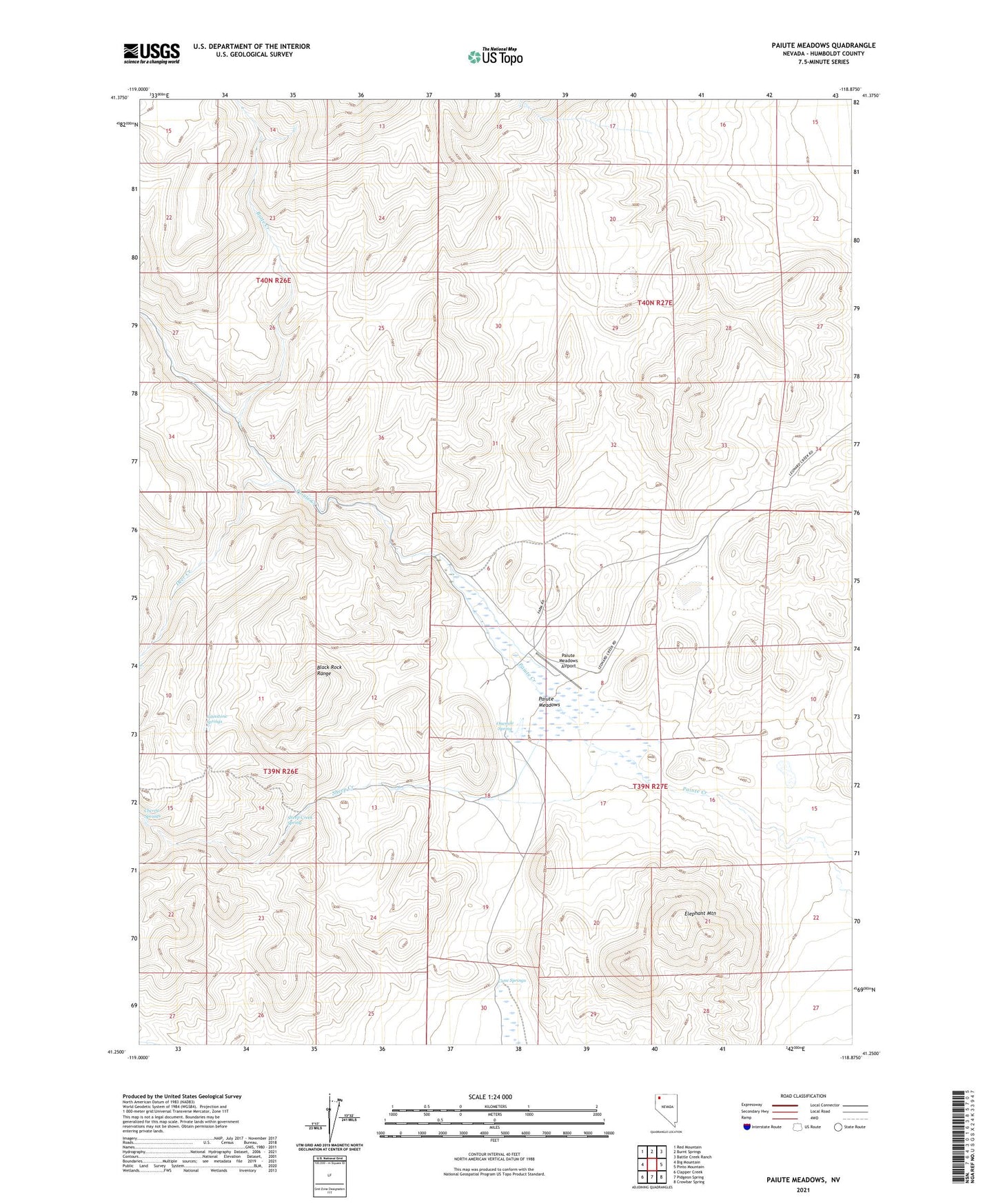
2021 topographic map quadrangle Paiute Meadows in the state of Nevada. Scale: 1:24000. Based on the newly updated USGS 7.5' US Topo map series, this map is in the following counties: Humboldt. The map contains contour data, water features, and other items you are used to seeing on USGS maps, but also has updated roads and other features. This is the next generation of topographic maps. Printed on high-quality waterproof paper with UV fade-resistant inks.
Quads adjacent to this one:
West: Big Mountain
Northwest: Red Mountain
North: Burnt Springs
Northeast: Battle Creek Ranch
East: Pinto Mountain
Southeast: Crowbar Spring
South: Pidgeon Spring
Southwest: Clapper Creek
This map covers the same area as the classic USGS quad with code o41118c8.
Contains the following named places: Butte Creek, Cane Springs, Cherry Springs, Deer Creek, Elephant Mountain, Johnstone Springs, Lassens Grave May 59, Onemile Spring, Paiute Meadows, Paiute Meadows Airport, Paiute Meadows Ranch, Sheep Creek, Sheep Creek Spring