MyTopo
Panaca Nevada US Topo Map
Couldn't load pickup availability
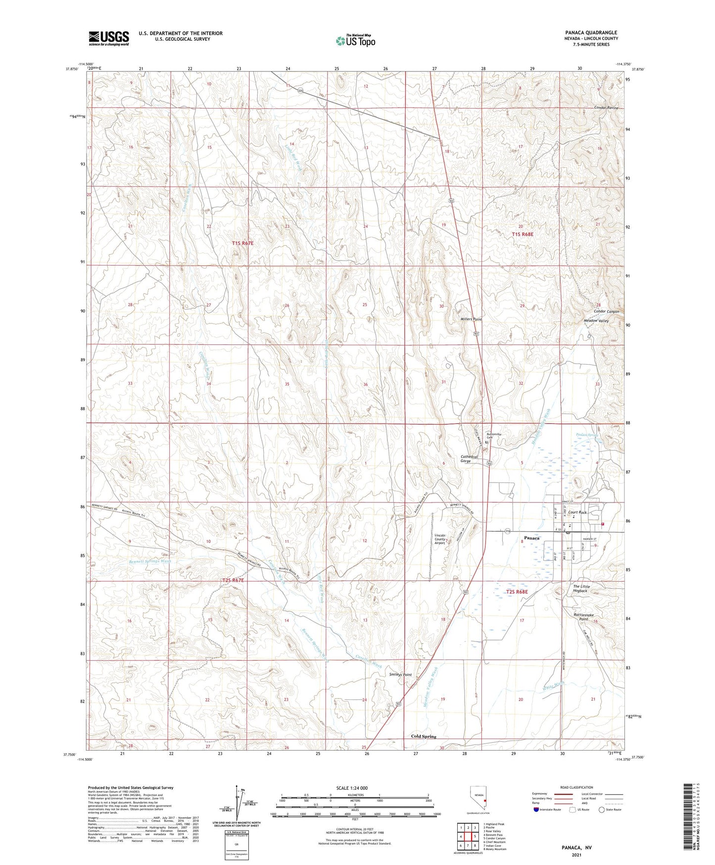
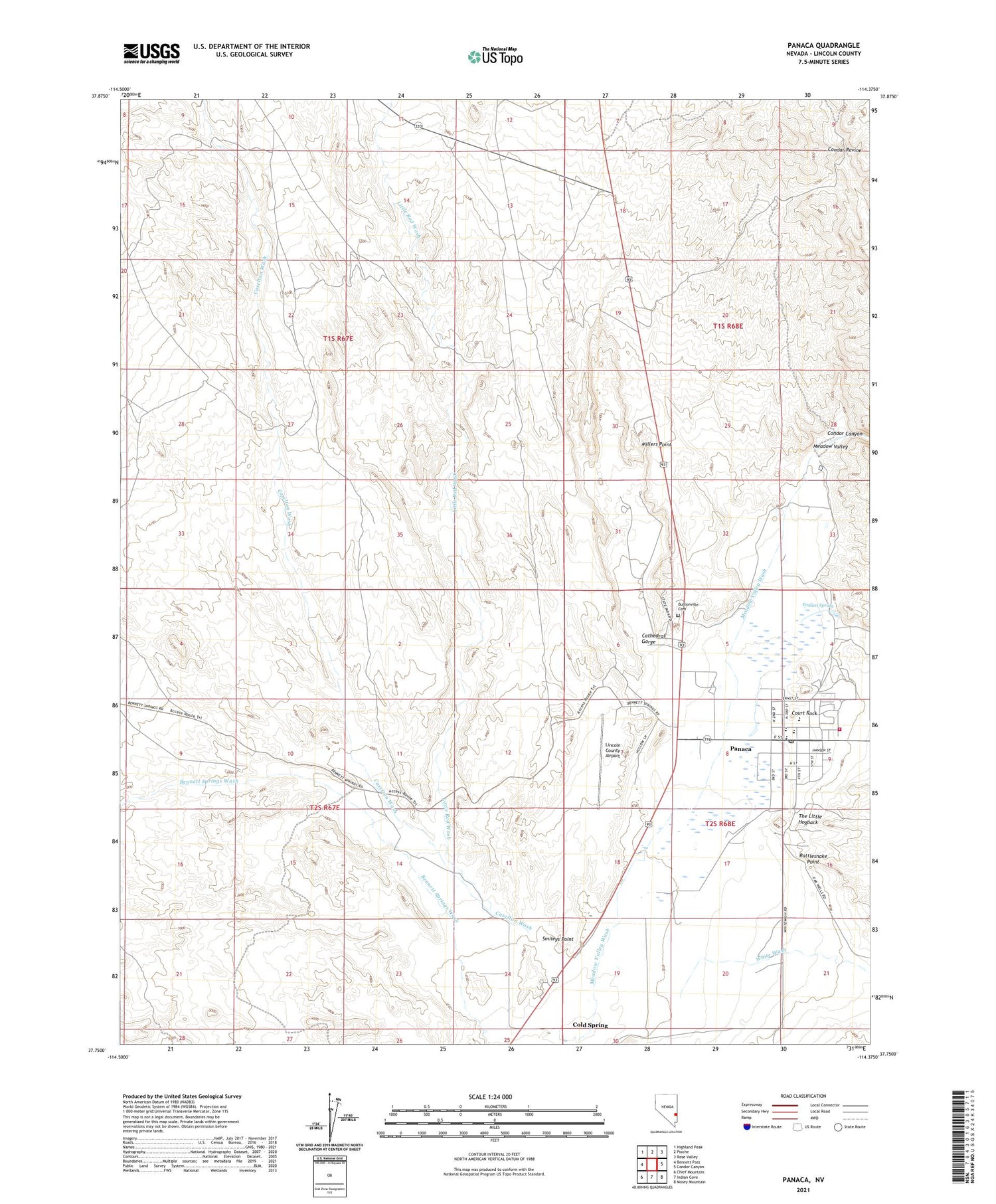
2021 topographic map quadrangle Panaca in the state of Nevada. Scale: 1:24000. Based on the newly updated USGS 7.5' US Topo map series, this map is in the following counties: Lincoln. The map contains contour data, water features, and other items you are used to seeing on USGS maps, but also has updated roads and other features. This is the next generation of topographic maps. Printed on high-quality waterproof paper with UV fade-resistant inks.
Quads adjacent to this one:
West: Bennett Pass
Northwest: Highland Peak
North: Pioche
Northeast: Rose Valley
East: Condor Canyon
Southeast: Mosey Mountain
South: Indian Cove
Southwest: Chief Mountain
Contains the following named places: Bullion Mining and Reduction Company Mill, Bullionville, Bullionville Cemetery, Bullionville Post Office, Bullionville Smelting Company Mill, C Kenneth Lee South Well, Caselton Wash, Cathedral Gorge, Cathedral Gorge State Park, Cathedral Gulch State Game Refuge, Chicago Mill, Cold Spring, Comet, Condor Canyon, Condor Mill, Court Rock, Delmue Brothers North Well, Kenneth D Lee South Well, Lester Mathews Well, Lincoln County Airport, Lincoln County High School, Little Red Wash, Meadow Valley Middle School, Meadow Valley Volunteer Ambulance Panaca, Millers Point, Morgan Bush Mine, Newman Ranch, Page Mill, Panaca, Panaca Census Designated Place, Panaca Elementary School, Panaca LDS Church Well, Panaca Post Office, Panaca Spring, Panaca Volunteer Fire Department, Rattlesnake Point, Raymond Ely Mill, Smileys Point, The Little Hogback, White Wash