MyTopo
Portuguese Mountain NW Nevada US Topo Map
Couldn't load pickup availability
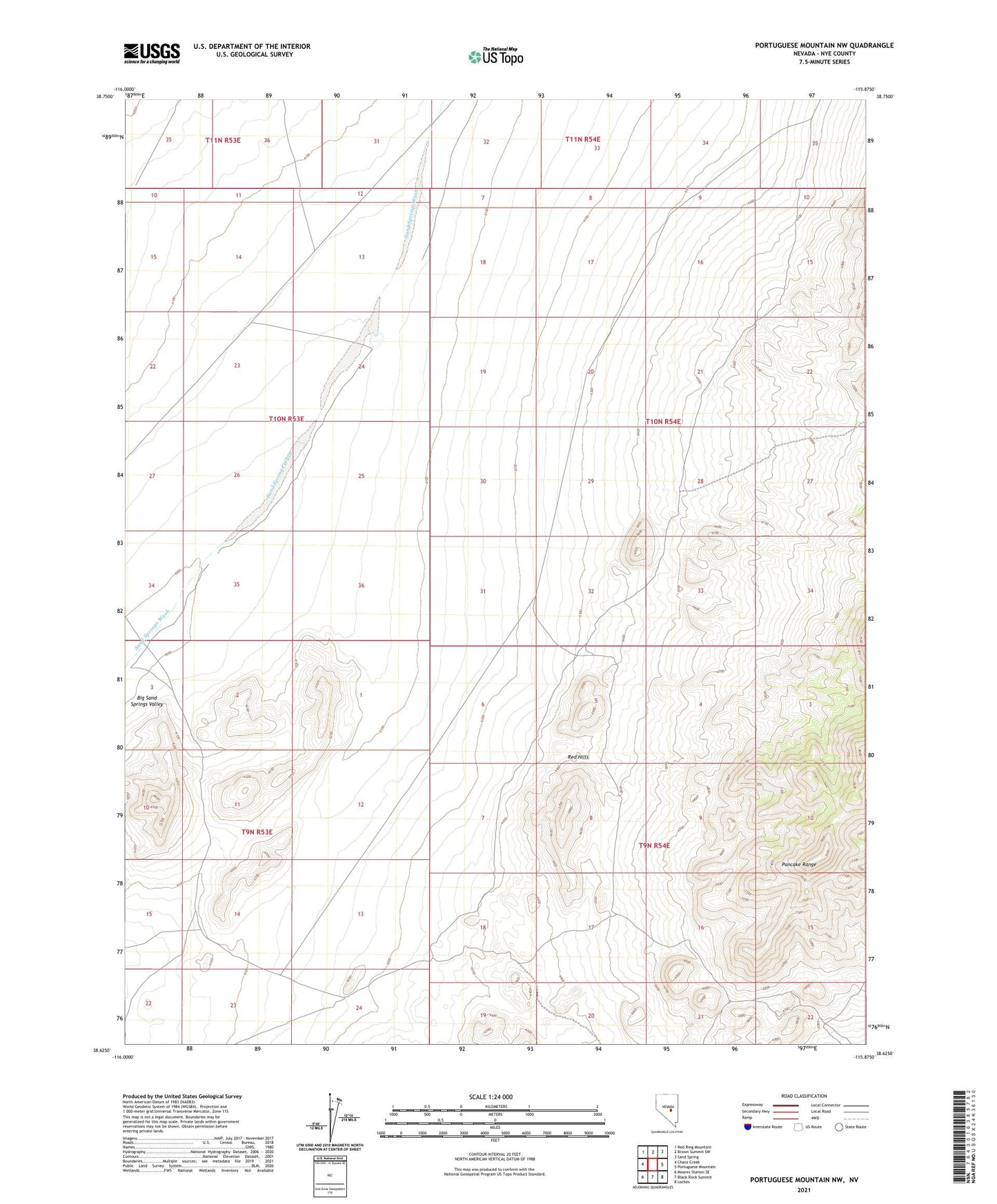
2021 topographic map quadrangle Portuguese Mountain NW in the state of Nevada. Scale: 1:24000. Based on the newly updated USGS 7.5' US Topo map series, this map is in the following counties: Nye. The map contains contour data, water features, and other items you are used to seeing on USGS maps, but also has updated roads and other features. This is the next generation of topographic maps. Printed on high-quality waterproof paper with UV fade-resistant inks.
Quads adjacent to this one:
West: Chaos Creek
Northwest: Red Ring Mountain
North: Brown Summit SW
Northeast: Sand Spring
East: Portuguese Mountain
Southeast: Lockes
South: Black Rock Summit
Southwest: Moores Station SE
This map covers the same area as the classic USGS quad with code o38115f8.
Contains the following named places: Etcheverria Well, Olevia Well, Red Hills