MyTopo
Rattlesnake Flat Nevada US Topo Map
Couldn't load pickup availability
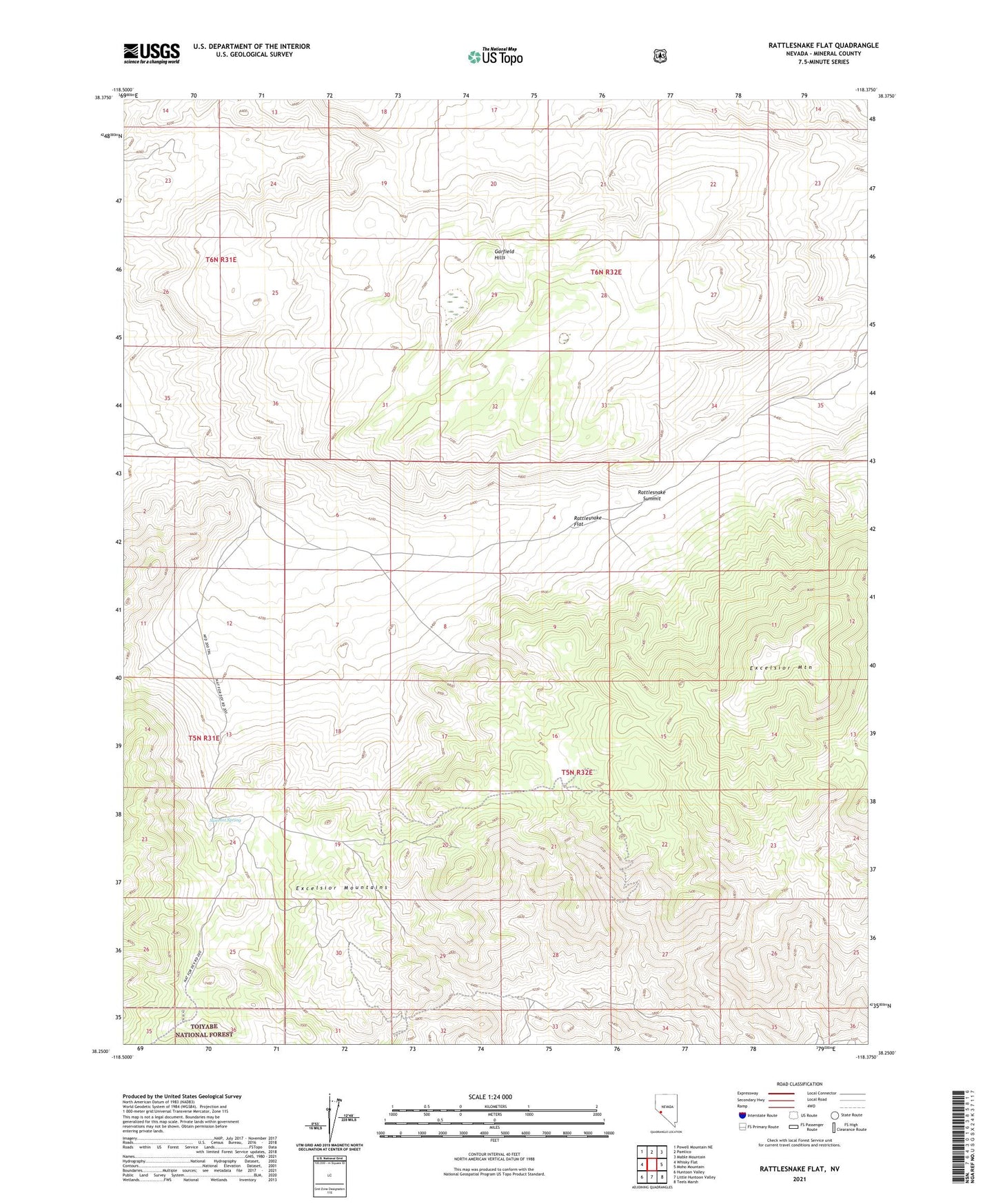
2021 topographic map quadrangle Rattlesnake Flat in the state of Nevada. Scale: 1:24000. Based on the newly updated USGS 7.5' US Topo map series, this map is in the following counties: Mineral. The map contains contour data, water features, and other items you are used to seeing on USGS maps, but also has updated roads and other features. This is the next generation of topographic maps. Printed on high-quality waterproof paper with UV fade-resistant inks.
Quads adjacent to this one:
West: Whisky Flat
Northwest: Powell Mountain NE
North: Pamlico
Northeast: Mable Mountain
East: Moho Mountain
Southeast: Teels Marsh
South: Little Huntoon Valley
Southwest: Huntoon Valley
Contains the following named places: Excelsior Mountain, Rattlesnake Flat, Rattlesnake Garfield Drift Fence, Rattlesnake Summit, Rattlesnake Well, Sulphide Mining District, Summit Spring, Summit Spring Drift Fence, West Rattlesnake Drift Fence