MyTopo
Mable Mountain Nevada US Topo Map
Couldn't load pickup availability
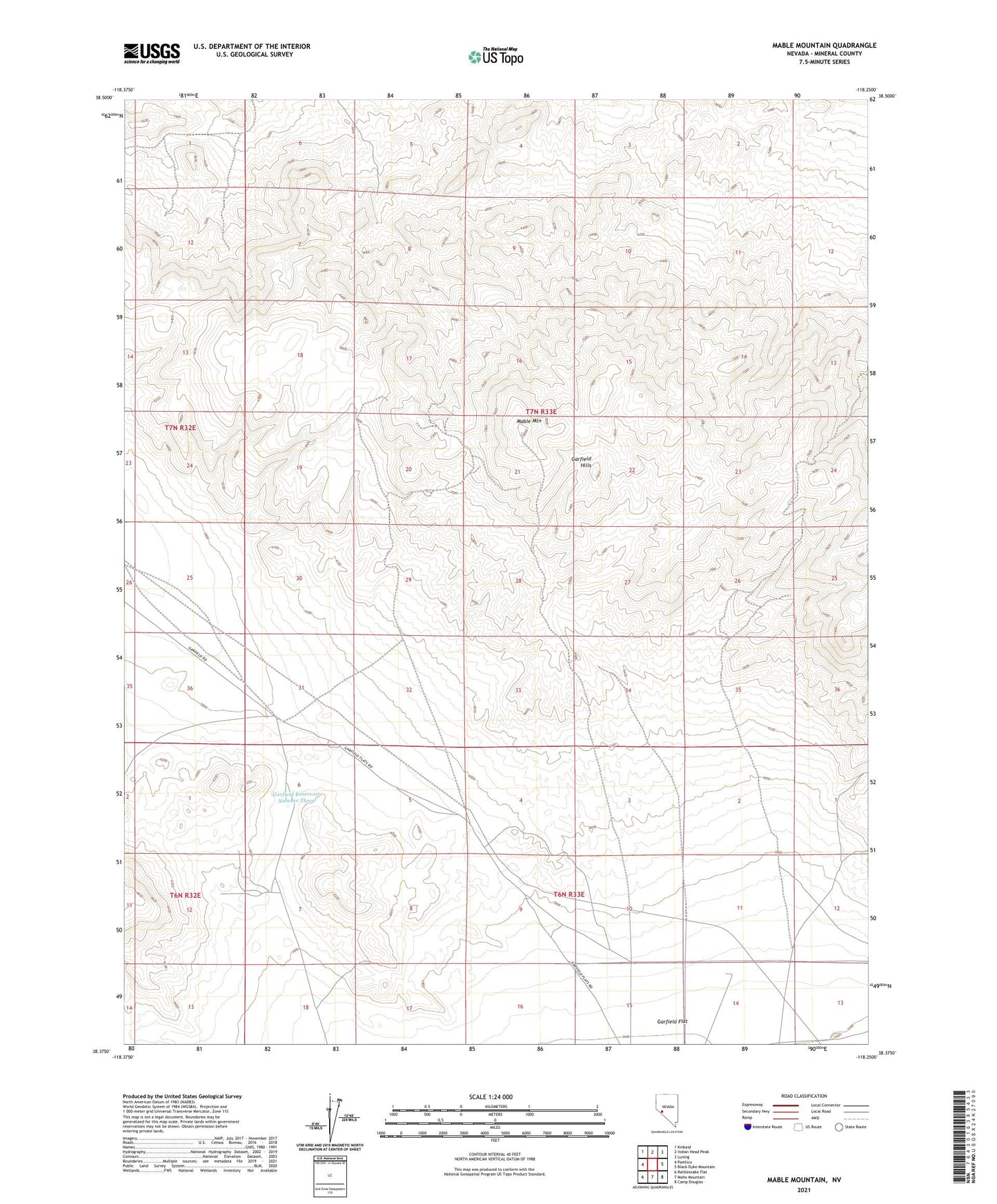
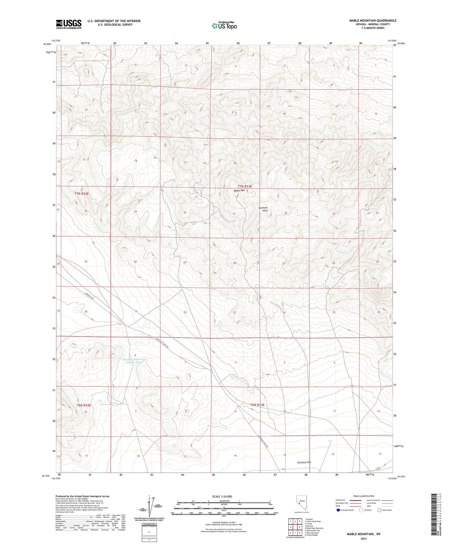
2021 topographic map quadrangle Mable Mountain in the state of Nevada. Scale: 1:24000. Based on the newly updated USGS 7.5' US Topo map series, this map is in the following counties: Mineral. The map contains contour data, water features, and other items you are used to seeing on USGS maps, but also has updated roads and other features. This is the next generation of topographic maps. Printed on high-quality waterproof paper with UV fade-resistant inks.
Quads adjacent to this one:
West: Pamlico
Northwest: Kinkaid
North: Indian Head Peak
Northeast: Luning
East: Black Dyke Mountain
Southeast: Camp Douglas
South: Moho Mountain
Southwest: Rattlesnake Flat
This map covers the same area as the classic USGS quad with code o38118d3.
Contains the following named places: Bataan Mine, Bluelight Mine, Garfield, Garfield Hills, Garfield Mine, Garfield Mining District, Garfield Post Office, Garfield Reservoir Number Three, Mable Mine, Mable Mountain, Rock Cabin Mine