MyTopo
Red Ledges Nevada US Topo Map
Couldn't load pickup availability
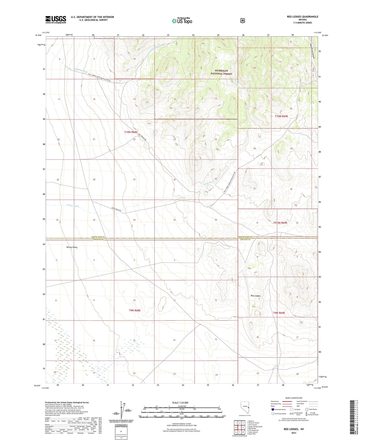
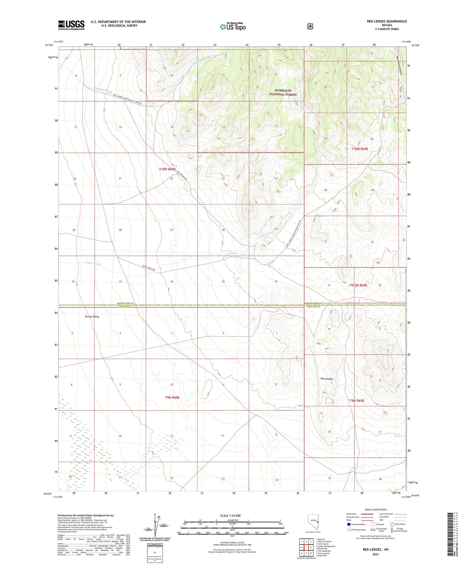
2021 topographic map quadrangle Red Ledges in the state of Nevada. Scale: 1:24000. Based on the newly updated USGS 7.5' US Topo map series, this map is in the following counties: White Pine, Lincoln. The map contains contour data, water features, and other items you are used to seeing on USGS maps, but also has updated roads and other features. This is the next generation of topographic maps. Printed on high-quality waterproof paper with UV fade-resistant inks.
Quads adjacent to this one:
West: Indian Springs Knolls
Northwest: Minerva
North: Minerva Canyon
Northeast: Arch Canyon
East: Big Springs
Southeast: Hyde Well
South: Wells Summit
Southwest: The Gouge Eye
Contains the following named places: Cow Camp, Johns Wash, Red Ledges, The Troughs