
MyTopo
Sawtooth Knob Nevada US Topo Map
Couldn't load pickup availability
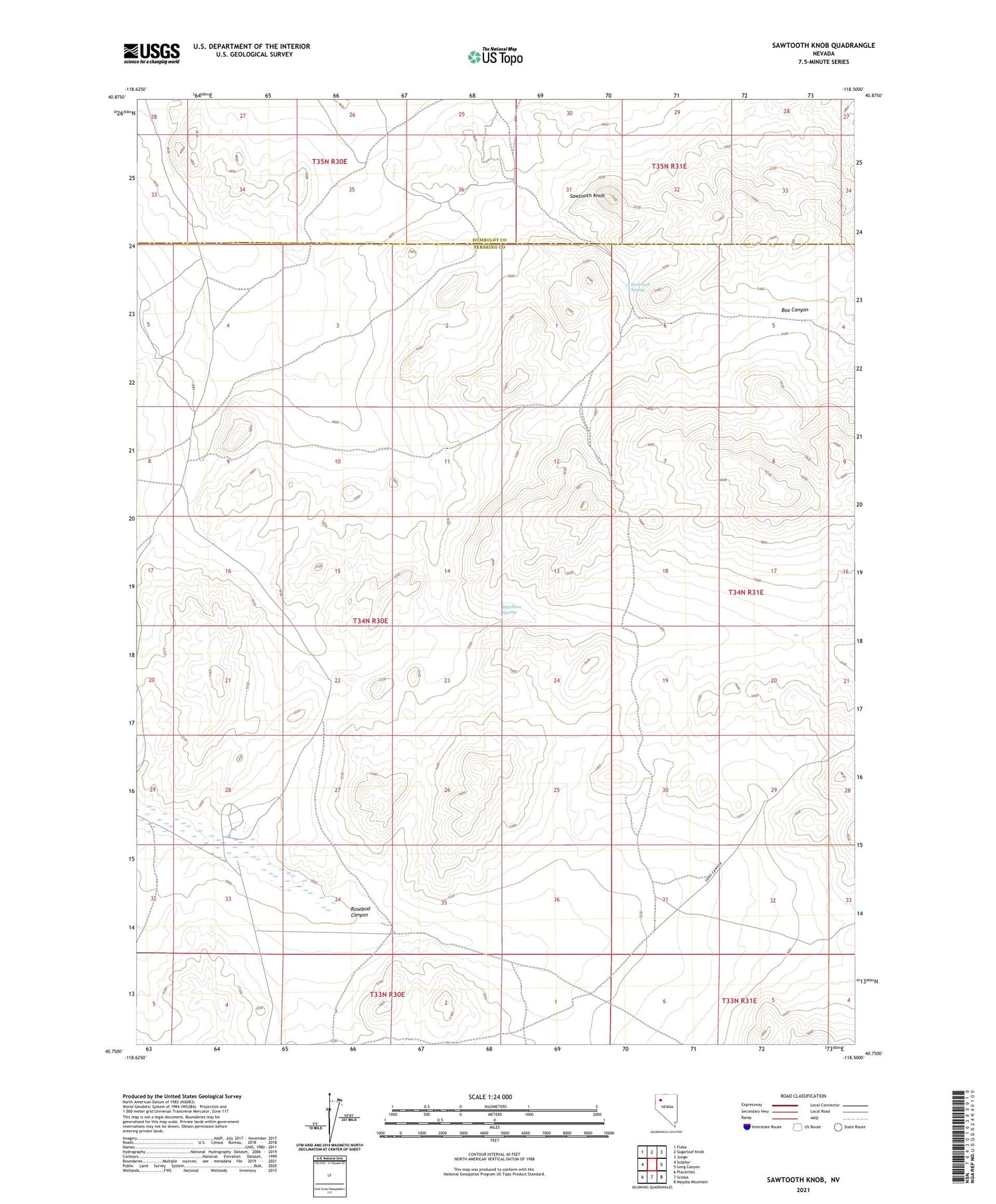
2021 topographic map quadrangle Sawtooth Knob in the state of Nevada. Scale: 1:24000. Based on the newly updated USGS 7.5' US Topo map series, this map is in the following counties: Pershing, Humboldt. The map contains contour data, water features, and other items you are used to seeing on USGS maps, but also has updated roads and other features. This is the next generation of topographic maps. Printed on high-quality waterproof paper with UV fade-resistant inks.
Quads adjacent to this one:
West: Sulphur
Northwest: Floka
North: Sugarloaf Knob
Northeast: Jungo
East: Long Canyon
Southeast: Majuba Mountain
South: Scossa
Southwest: Placerites
Contains the following named places: Loco Springs, Mauds Well, Mitchum Spring, Railroad Spring, Sawtooth Knob, Sawtooth Mine, Sawtooth Mining District, Wonder Metal Mine


