MyTopo
Placerites Nevada US Topo Map
Couldn't load pickup availability
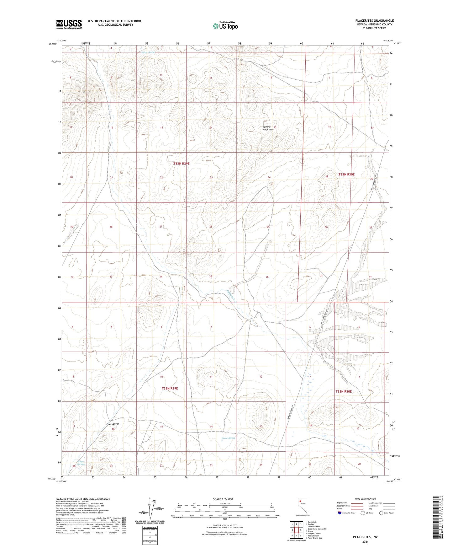
2021 topographic map quadrangle Placerites in the state of Nevada. Scale: 1:24000. Based on the newly updated USGS 7.5' US Topo map series, this map is in the following counties: Pershing. The map contains contour data, water features, and other items you are used to seeing on USGS maps, but also has updated roads and other features. This is the next generation of topographic maps. Printed on high-quality waterproof paper with UV fade-resistant inks.
Quads adjacent to this one:
West: Dead Horse Canyon NE
Northwest: Rabbithole
North: Sulphur
Northeast: Sawtooth Knob
East: Scossa
Southeast: Poker Brown Gap
South: Rocky Canyon
Southwest: Juniper Canyon
This map covers the same area as the classic USGS quad with code o40118f6.
Contains the following named places: Corral Spring, Cow Canyon, Cow Creek, Judges Springs, Outlaw Spring, Placerites, Placerites Mining District