MyTopo
Scottys Junction SW Nevada US Topo Map
Couldn't load pickup availability
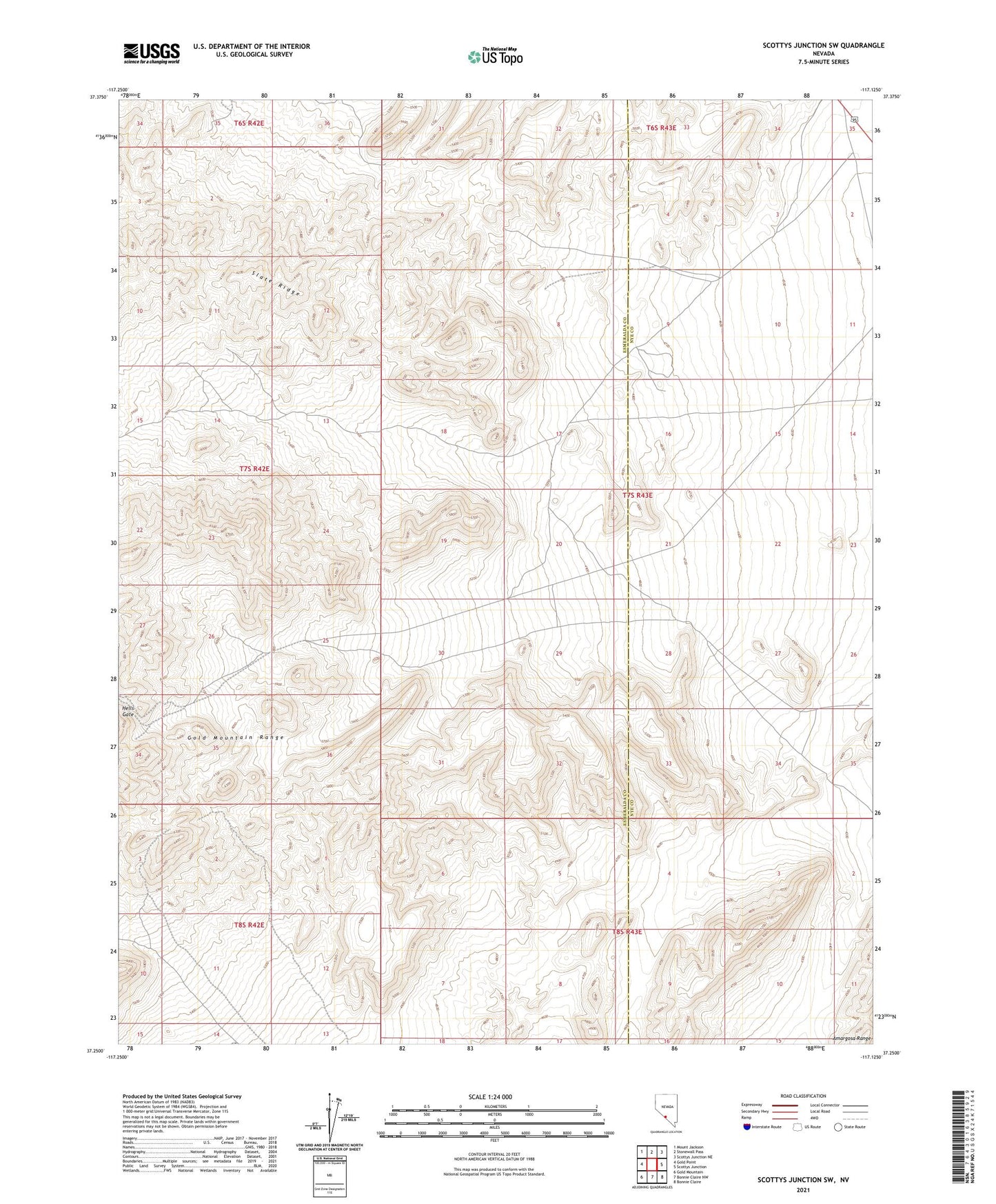
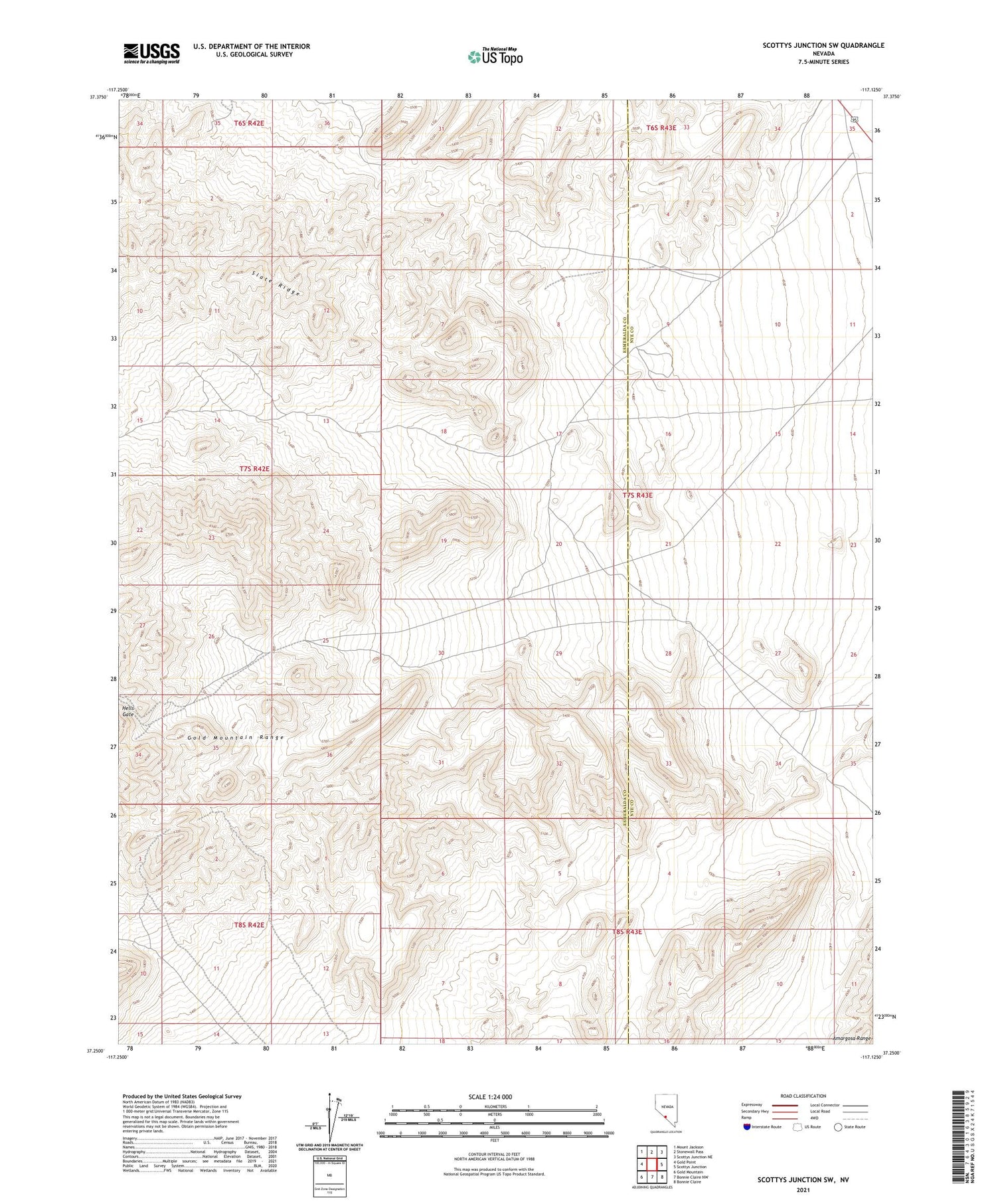
2021 topographic map quadrangle Scottys Junction SW in the state of Nevada. Scale: 1:24000. Based on the newly updated USGS 7.5' US Topo map series, this map is in the following counties: Esmeralda, Nye. The map contains contour data, water features, and other items you are used to seeing on USGS maps, but also has updated roads and other features. This is the next generation of topographic maps. Printed on high-quality waterproof paper with UV fade-resistant inks.
Quads adjacent to this one:
West: Gold Point
Northwest: Mount Jackson
North: Stonewall Pass
East: Scottys Junction
Southeast: Bonnie Claire
South: Bonnie Claire NW
Southwest: Gold Mountain
Contains the following named places: Anderson Well, Gold Coin Mine, Hells Gate, Rattlesnake Mine, Silver Moon Mine, Tokop Well, Treasure Mine