MyTopo
Gold Point Nevada US Topo Map
Couldn't load pickup availability
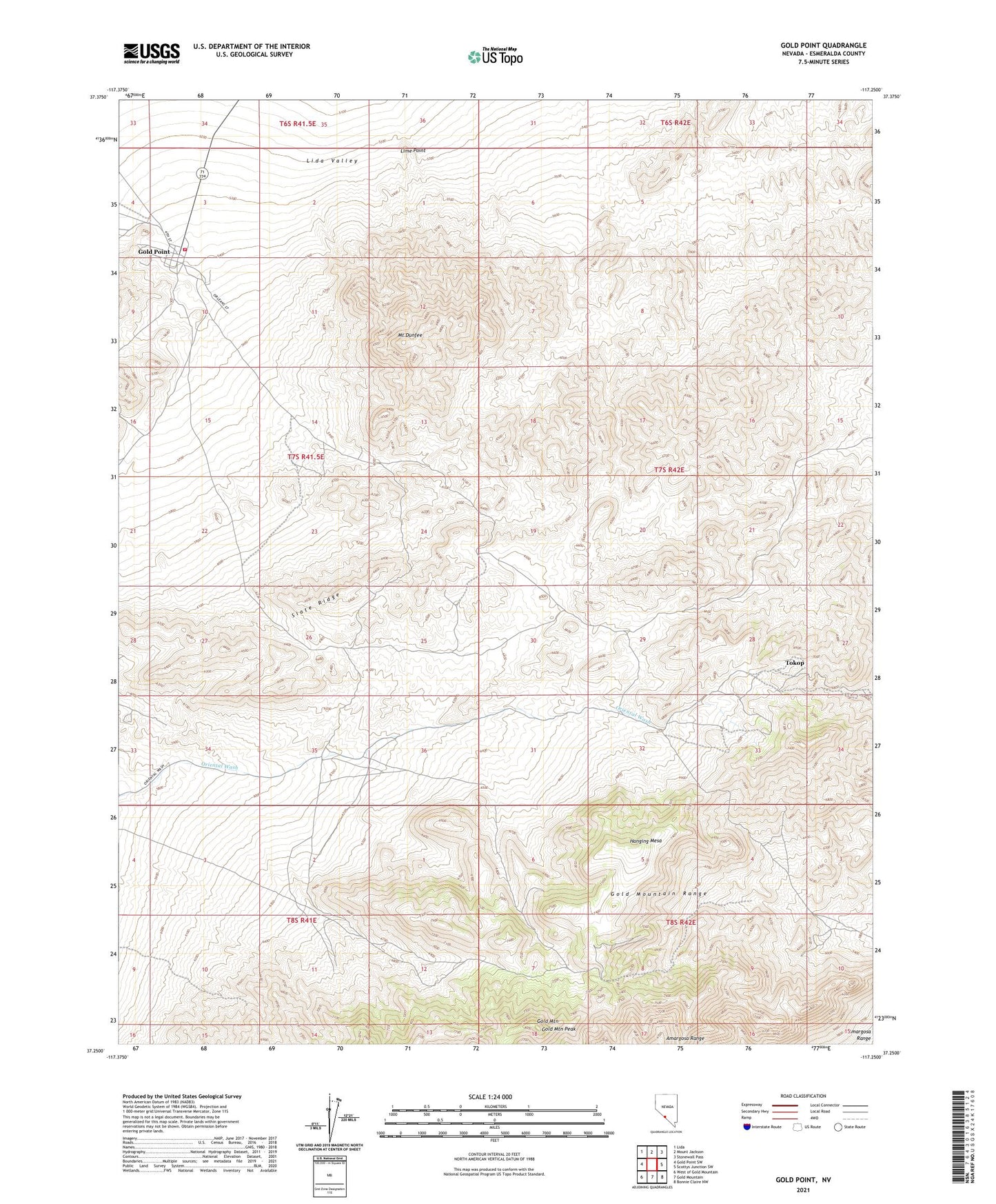
2021 topographic map quadrangle Gold Point in the state of Nevada. Scale: 1:24000. Based on the newly updated USGS 7.5' US Topo map series, this map is in the following counties: Esmeralda. The map contains contour data, water features, and other items you are used to seeing on USGS maps, but also has updated roads and other features. This is the next generation of topographic maps. Printed on high-quality waterproof paper with UV fade-resistant inks.
Quads adjacent to this one:
West: Gold Point SW
Northwest: Lida
North: Mount Jackson
Northeast: Stonewall Pass
East: Scottys Junction SW
Southeast: Bonnie Claire NW
South: Gold Mountain
Southwest: West of Gold Mountain
This map covers the same area as the classic USGS quad with code o37117c3.
Contains the following named places: Alberto Mine, Big Blossom Mine, Causer Well Corral, Checkmate Mine, Courbet Mine, Dunfee Shaft, Empress Mine, Frenchman Well, Gold Mountain, Gold Mountain Mine, Gold Mountain Peak, Gold Point, Gold Point Post Office, Gold Point Volunteer Fire Department, Great Western Mine, Hanging Mesa, Hidden Treasure Mine, Huson Mine, Lime Point, Mount Dunfee, Ohio Mine, Old Camp, Oriental Mine, Oriental Post Office, Redemption Mine, Silver Chain Mine, Slate Ridge, Tokop, Tokop Mining District, Wonder Mine, Wylie Green Mine