MyTopo
Mount Jackson Nevada US Topo Map
Couldn't load pickup availability
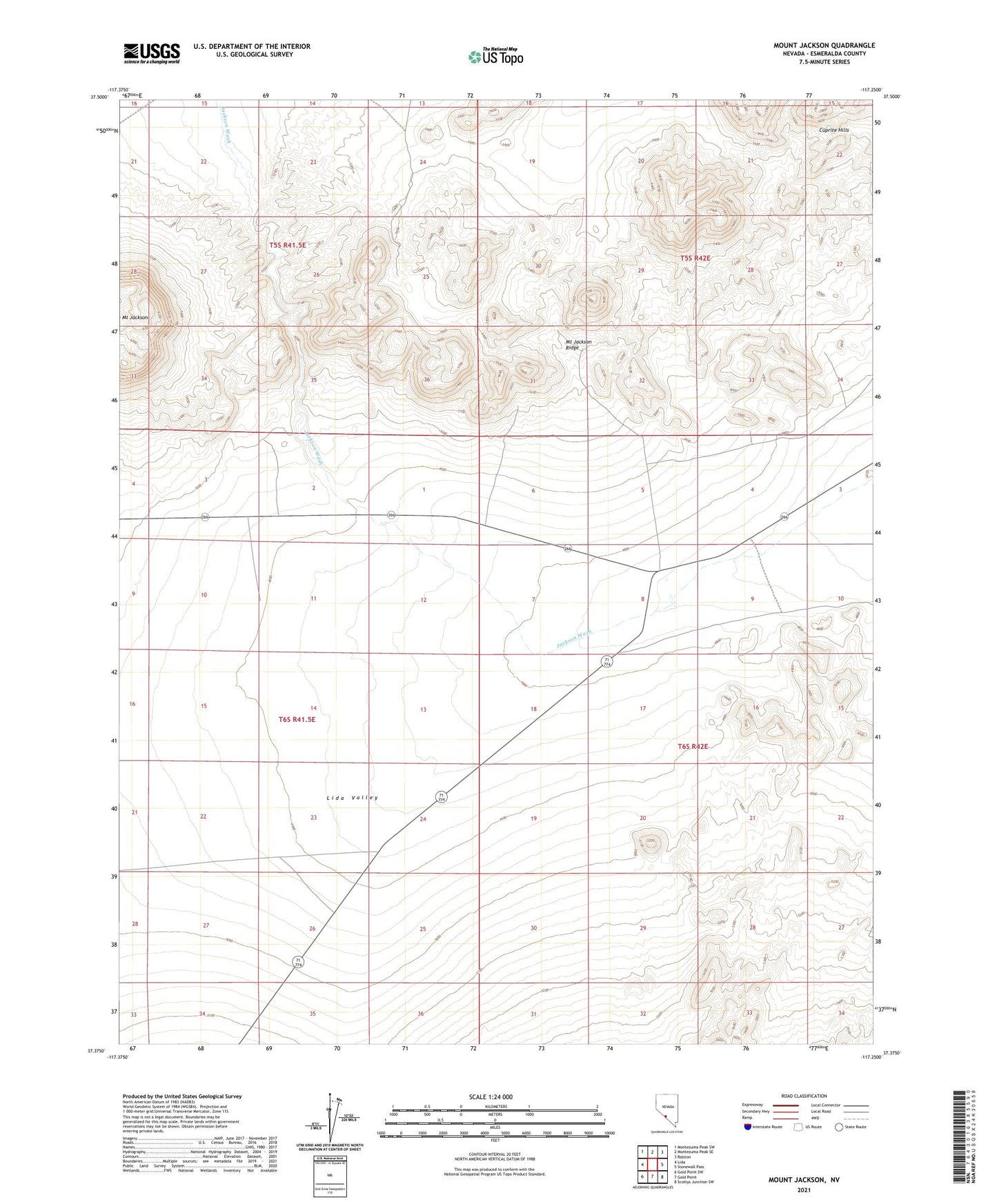
2021 topographic map quadrangle Mount Jackson in the state of Nevada. Scale: 1:24000. Based on the newly updated USGS 7.5' US Topo map series, this map is in the following counties: Esmeralda. The map contains contour data, water features, and other items you are used to seeing on USGS maps, but also has updated roads and other features. This is the next generation of topographic maps. Printed on high-quality waterproof paper with UV fade-resistant inks.
Quads adjacent to this one:
West: Lida
Northwest: Montezuma Peak SW
North: Montezuma Peak SE
Northeast: Ralston
East: Stonewall Pass
Southeast: Scottys Junction SW
South: Gold Point
Southwest: Gold Point SW
This map covers the same area as the classic USGS quad with code o37117d3.
Contains the following named places: Cuprite Mining District, Iron Corral, Mount Jackson Ridge, ZIP Code: 89013