MyTopo
Shagnasty Nevada US Topo Map
Couldn't load pickup availability
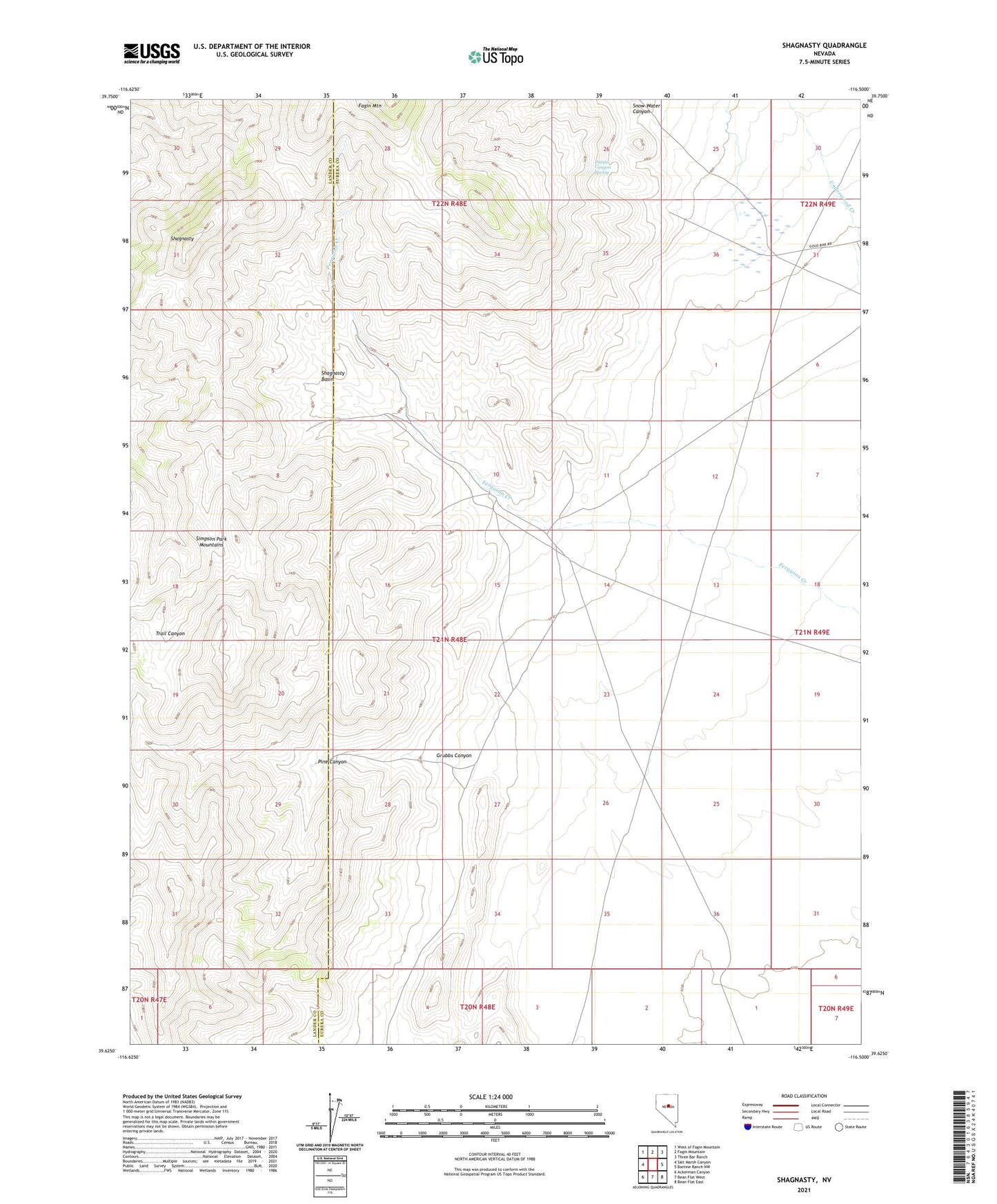
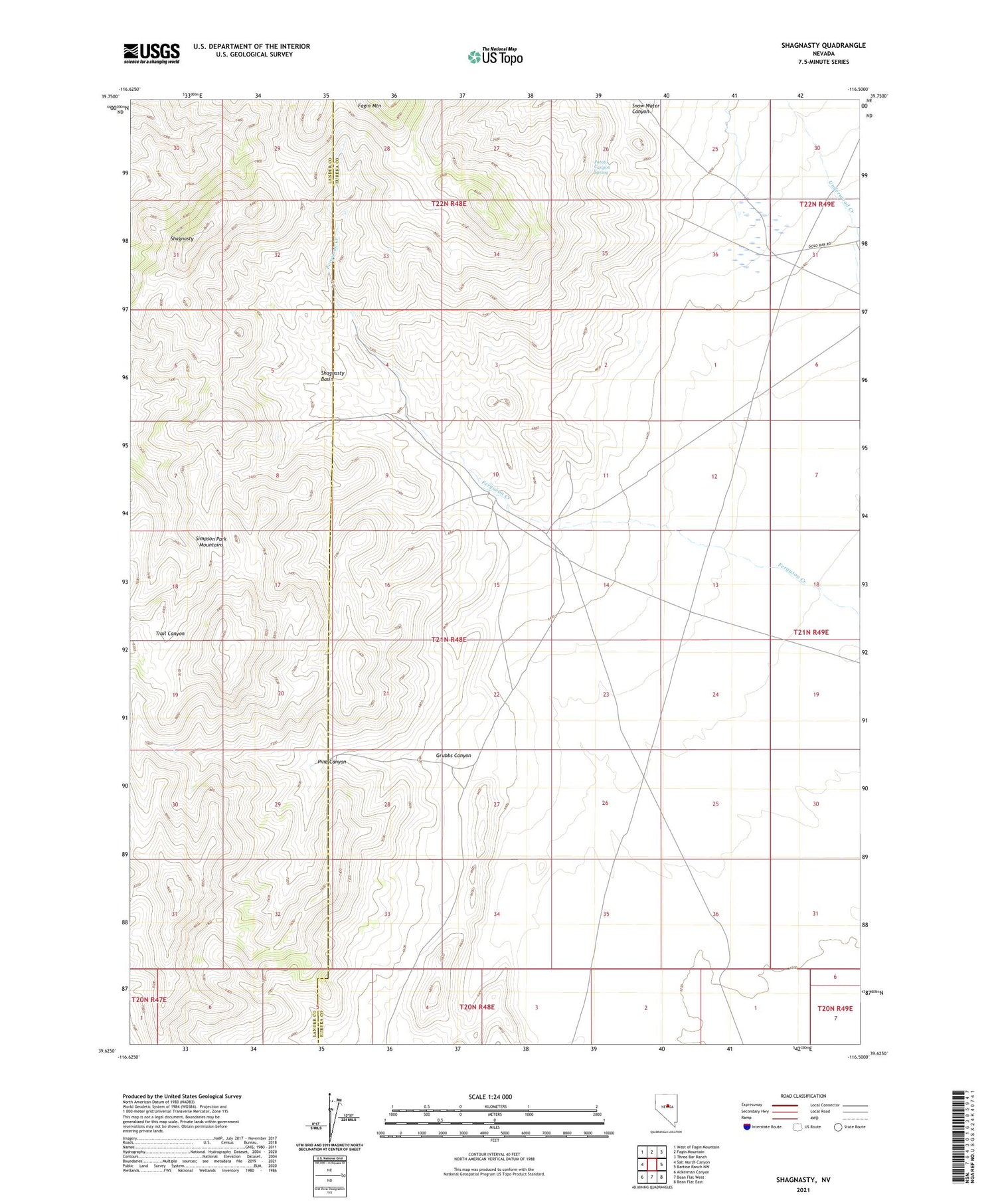
2021 topographic map quadrangle Shagnasty in the state of Nevada. Scale: 1:24000. Based on the newly updated USGS 7.5' US Topo map series, this map is in the following counties: Eureka, Lander. The map contains contour data, water features, and other items you are used to seeing on USGS maps, but also has updated roads and other features. This is the next generation of topographic maps. Printed on high-quality waterproof paper with UV fade-resistant inks.
Quads adjacent to this one:
West: Salt Marsh Canyon
Northwest: West of Fagin Mountain
North: Fagin Mountain
Northeast: Three Bar Ranch
East: Bartine Ranch NW
Southeast: Bean Flat East
South: Bean Flat West
Southwest: Ackerman Canyon
Contains the following named places: Etcheverry Number One, Ferguson Creek, Ferguson Ranch, Grubbs Canyon, Indian Ranch, Pine Canyon, Potato Canyon Spring, Santa Fe Ranch, Shagnasty, Shagnasty Basin, Snow Water Canyon