MyTopo
Simpson Park Canyon Nevada US Topo Map
Couldn't load pickup availability
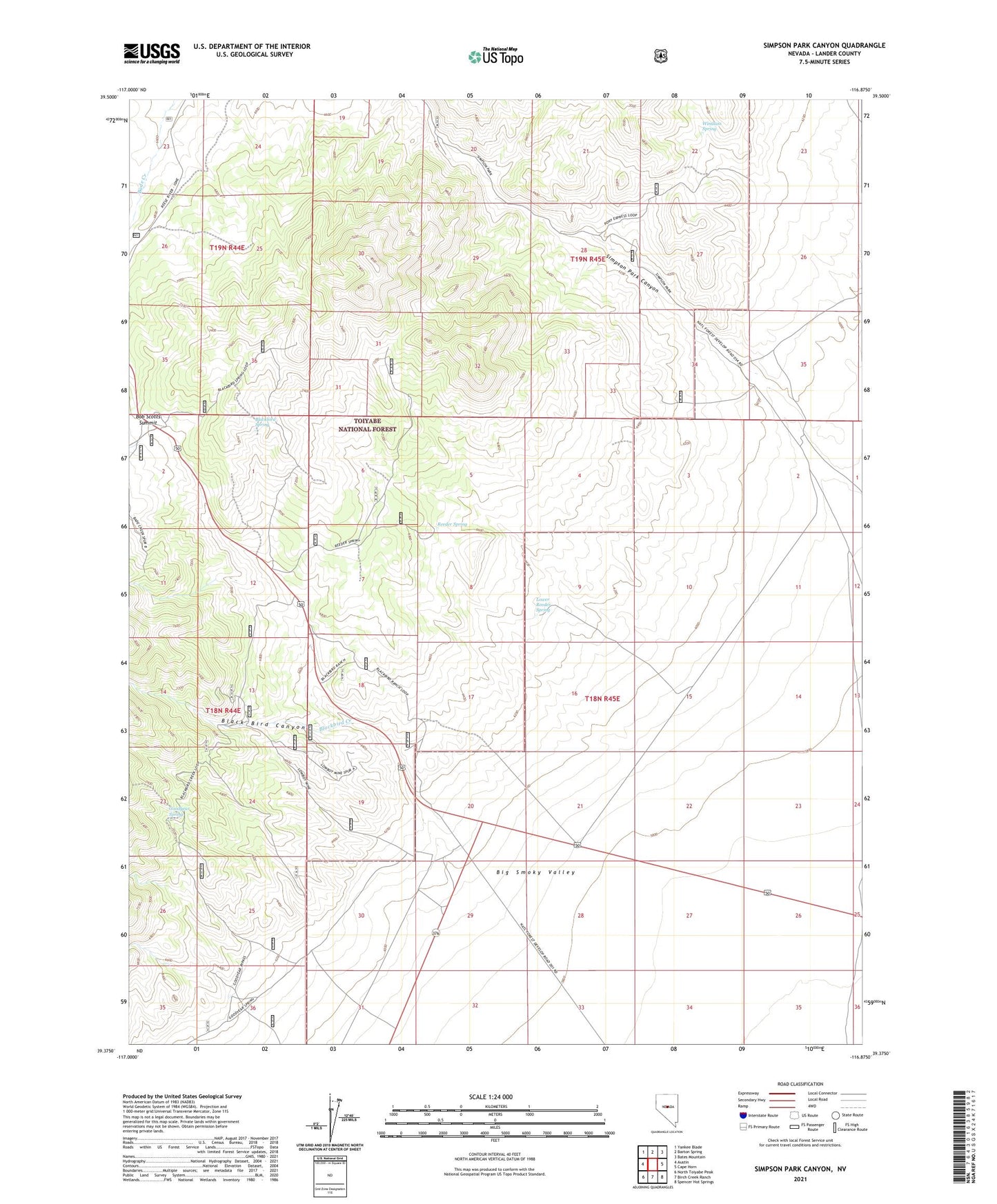
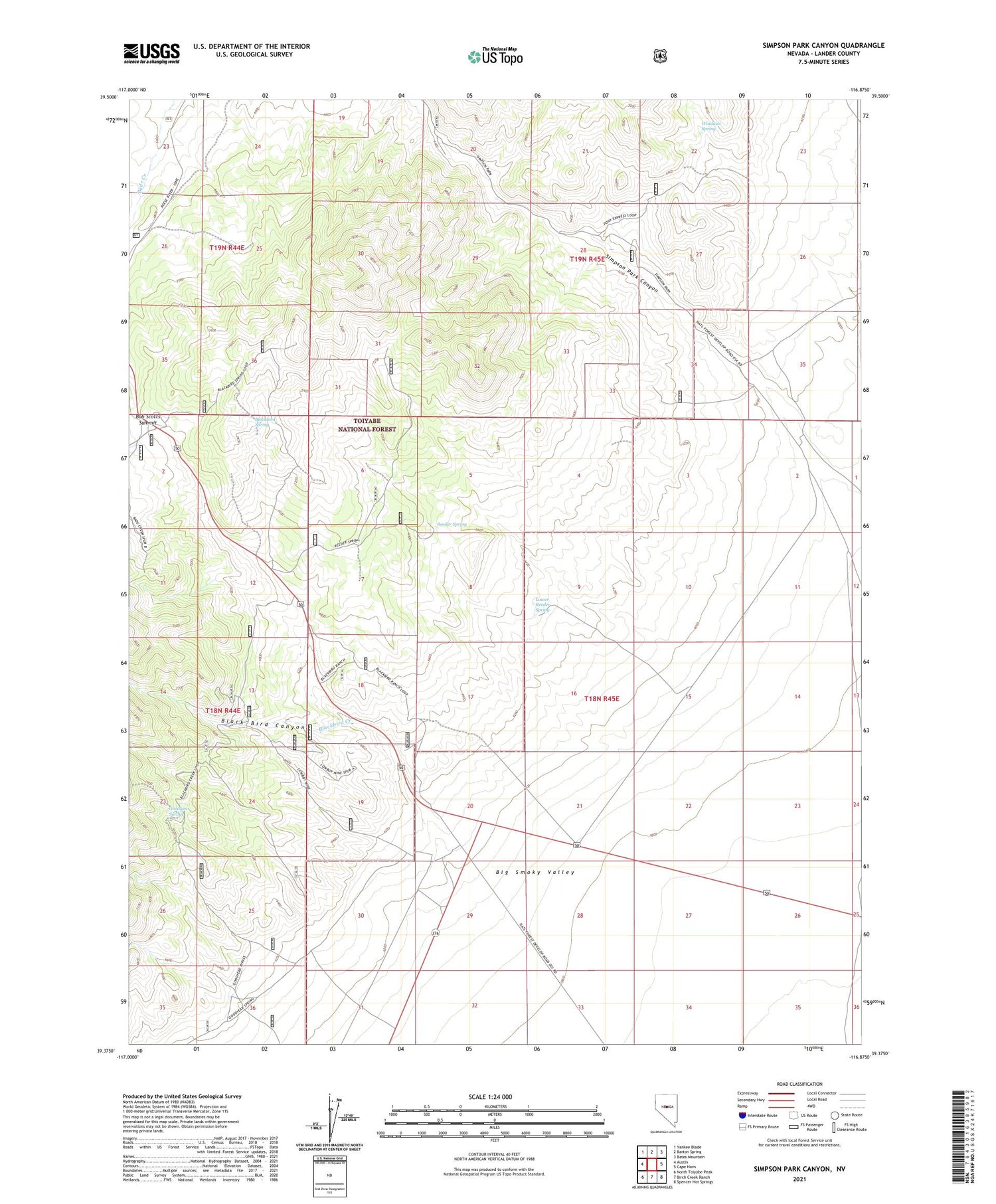
2021 topographic map quadrangle Simpson Park Canyon in the state of Nevada. Scale: 1:24000. Based on the newly updated USGS 7.5' US Topo map series, this map is in the following counties: Lander. The map contains contour data, water features, and other items you are used to seeing on USGS maps, but also has updated roads and other features. This is the next generation of topographic maps. Printed on high-quality waterproof paper with UV fade-resistant inks.
Quads adjacent to this one:
West: Austin
Northwest: Yankee Blade
North: Barton Spring
Northeast: Bates Mountain
East: Cape Horn
Southeast: Spencer Hot Springs
South: Birch Creek Ranch
Southwest: North Toiyabe Peak
Contains the following named places: Birch Creek Mine, Black Bird Canyon, Blackbird, Blackbird Creek, Blackbird Ranch, Blackbird Spring, Bob Scott Forest Service Recreation Site, Bob Scotts Historical Site, Bob Scotts Summit, Frontier, Givens Ranch, Goodyear Spring, Lowboy Mine, Lower Reeder Spring, Reeder Spring, Simpson Park Canyon, Windlass Spring