MyTopo
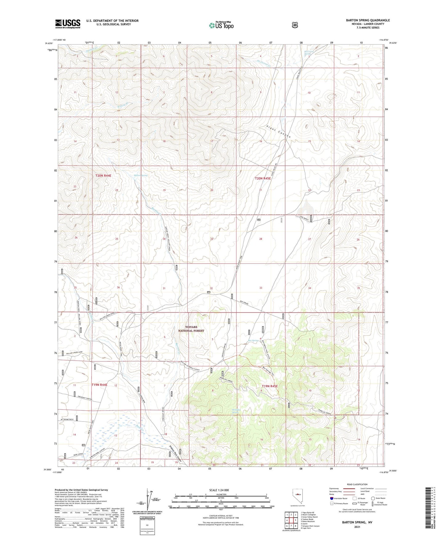
Barton Spring Nevada US Topo Map
Couldn't load pickup availability
Also explore the Barton Spring Forest Service Topo of this same quad for updated USFS data
2021 topographic map quadrangle Barton Spring in the state of Nevada. Scale: 1:24000. Based on the newly updated USGS 7.5' US Topo map series, this map is in the following counties: Lander. The map contains contour data, water features, and other items you are used to seeing on USGS maps, but also has updated roads and other features. This is the next generation of topographic maps. Printed on high-quality waterproof paper with UV fade-resistant inks.
Quads adjacent to this one:
West: Yankee Blade
Northwest: Vigus Butte NE
North: Mount Callaghan
Northeast: Grass Valley Ranch
East: Bates Mountain
Southeast: Cape Horn
South: Simpson Park Canyon
Southwest: Austin
This map covers the same area as the classic USGS quad with code o39116e8.
Contains the following named places: Bade Creek, Barton Creek, Barton Spring, Box Spring, Green Tree Mine, Lake Ranch, McGinness Mine, Ox Corral Spring, Simpson Park School, Simpson Park Station, Streshley Spring, Vigus Canyon, Willow Creek, Willow Creek Ranch, Wolf Ranch