MyTopo
Smoke Creek Ranch Nevada US Topo Map
Couldn't load pickup availability
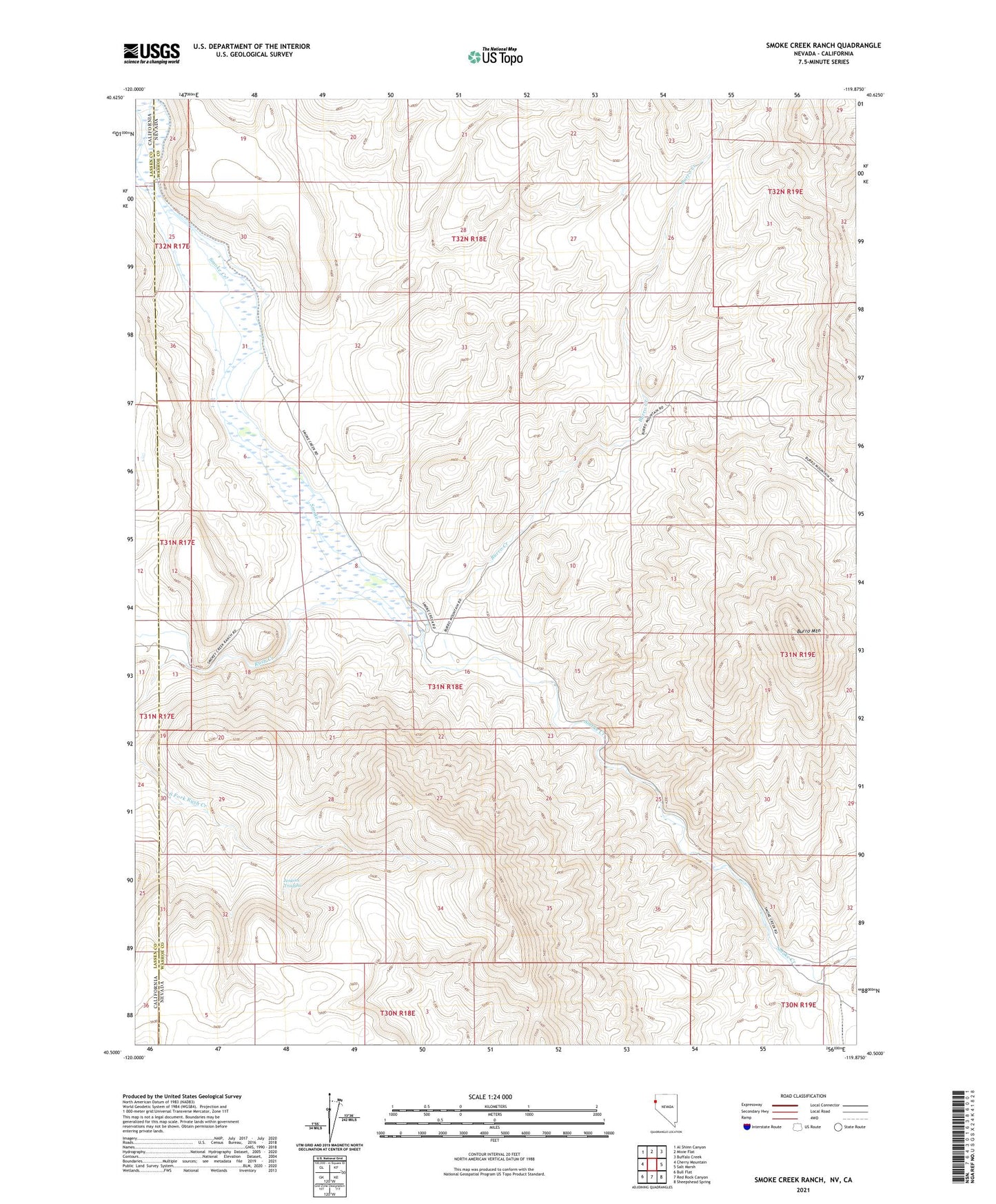
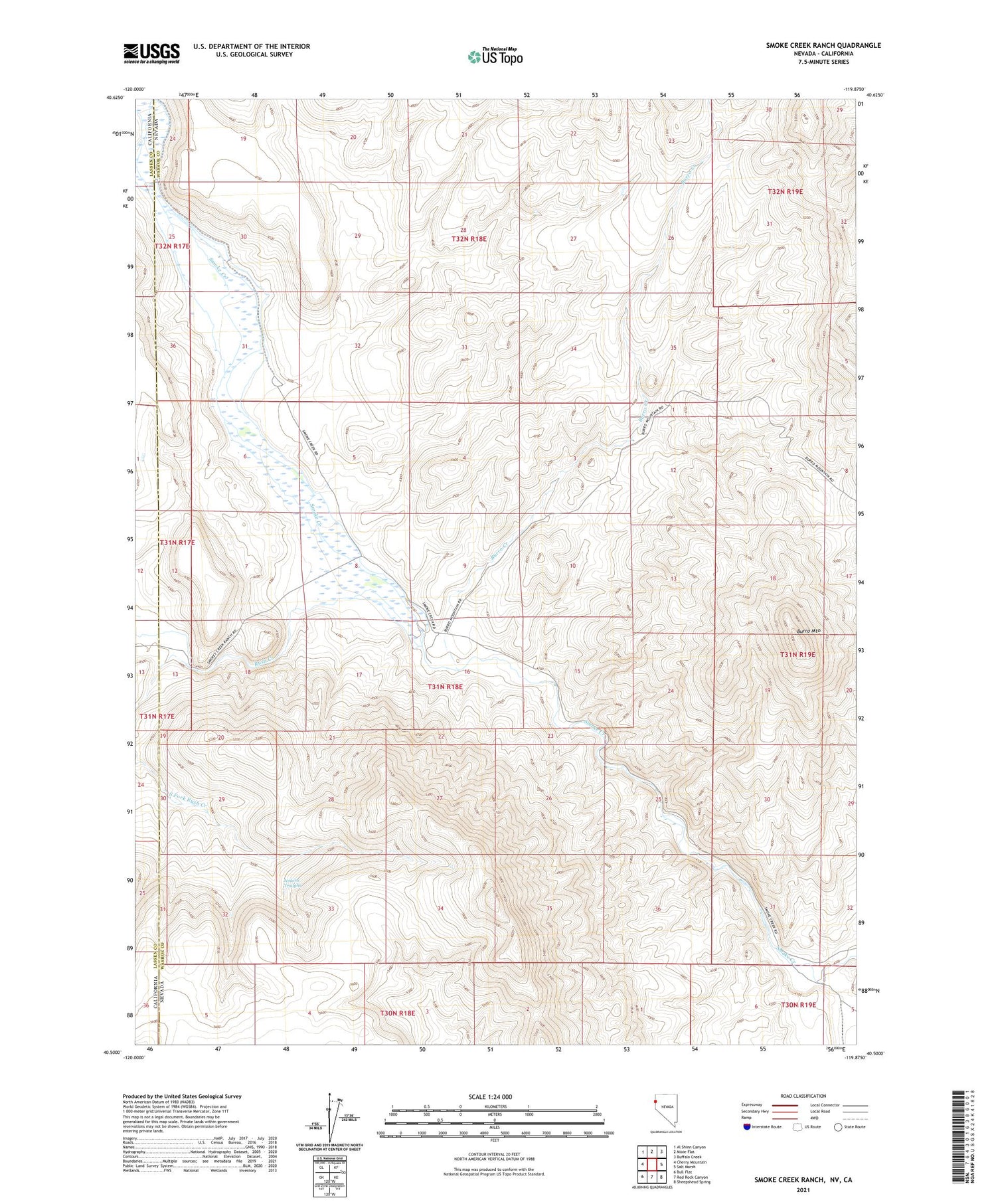
2021 topographic map quadrangle Smoke Creek Ranch in the states of Nevada, California. Scale: 1:24000. Based on the newly updated USGS 7.5' US Topo map series, this map is in the following counties: Washoe, Lassen. The map contains contour data, water features, and other items you are used to seeing on USGS maps, but also has updated roads and other features. This is the next generation of topographic maps. Printed on high-quality waterproof paper with UV fade-resistant inks.
Quads adjacent to this one:
West: Cherry Mountain
Northwest: Al Shinn Canyon
North: Mixie Flat
Northeast: Buffalo Creek
East: Salt Marsh
Southeast: Sheepshead Spring
South: Red Rock Canyon
Southwest: Bull Flat
Contains the following named places: Burro Creek, Burro Mountain, Burro Mountain Pass, Camp Pollock, Jenkins Troughs, Robbers Roost, Roop, Roop Post Office, Rush Creek, Smoke Creek Airstrip, Smoke Creek Camp, Smoke Creek Ranch, Smoke Creek Station, South Fork Rush Creek