MyTopo
Sylvania Mountains Nevada US Topo Map
Couldn't load pickup availability
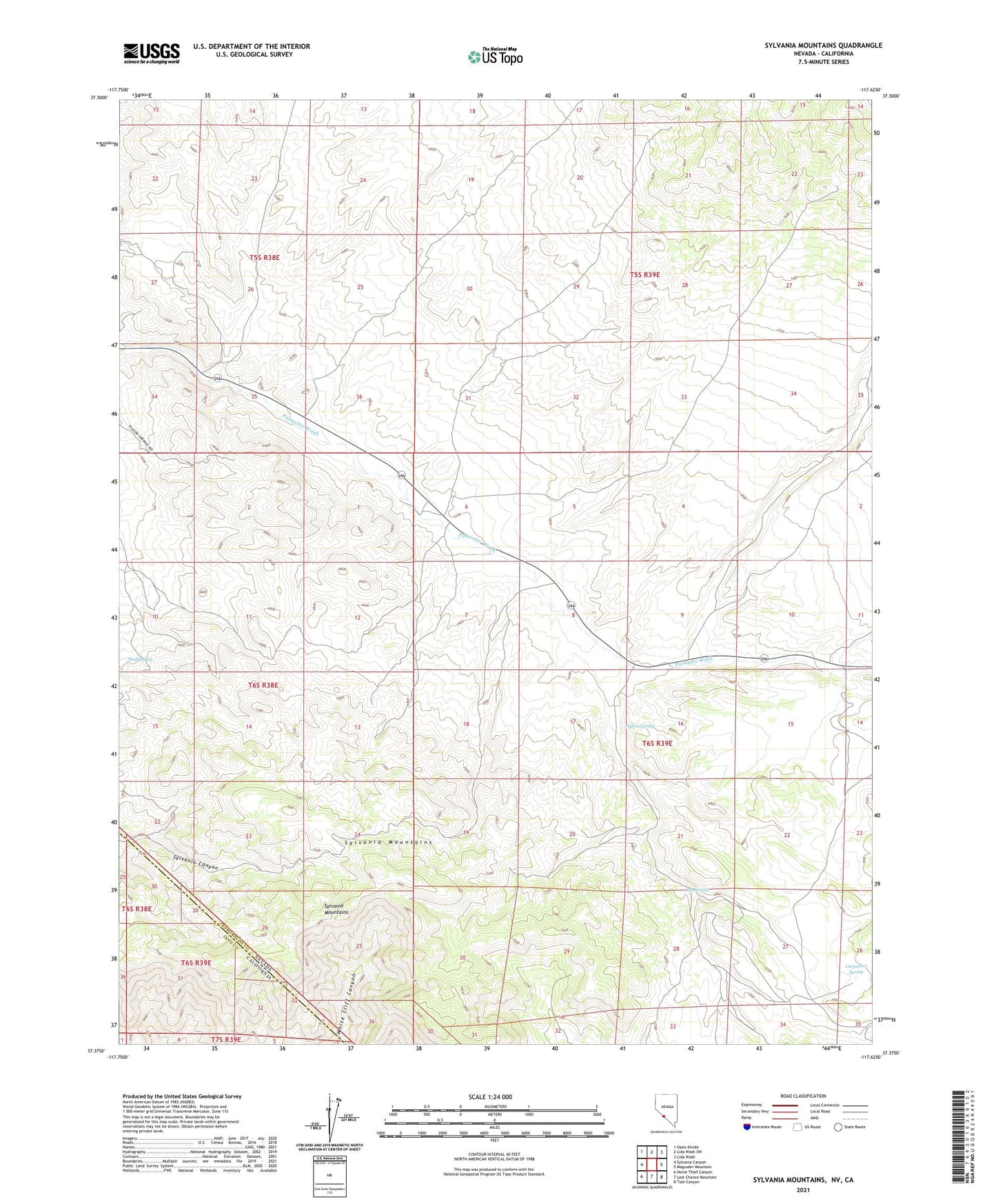
2021 topographic map quadrangle Sylvania Mountains in the states of California, Nevada. Scale: 1:24000. Based on the newly updated USGS 7.5' US Topo map series, this map is in the following counties: Esmeralda, Inyo. The map contains contour data, water features, and other items you are used to seeing on USGS maps, but also has updated roads and other features. This is the next generation of topographic maps. Printed on high-quality waterproof paper with UV fade-resistant inks.
Quads adjacent to this one:
West: Sylvania Canyon
Northwest: Oasis Divide
North: Lida Wash SW
Northeast: Lida Wash
East: Magruder Mountain
Southeast: Tule Canyon
South: Last Chance Mountain
Southwest: Horse Thief Canyon
This map covers the same area as the classic USGS quad with code o37117d6.
Contains the following named places: Carolina Mine, Carpenter Spring, Del Bondido Mining Camp, Deuces Mine, Four Aces Mine, Log Spring, Louisiana Mine, Mud Spring, Palmetto, Palmetto Mill, Palmetto Mine, Palmetto Post Office, Pigeon Spring, Pigeon Spring Post Office, Pigeon Stamp Mill, Sylvania, Sylvania Mine, Sylvania Mining District, Sylvania Mountains, Tennessee Mine