MyTopo
Tohakum Peak SE Nevada US Topo Map
Couldn't load pickup availability
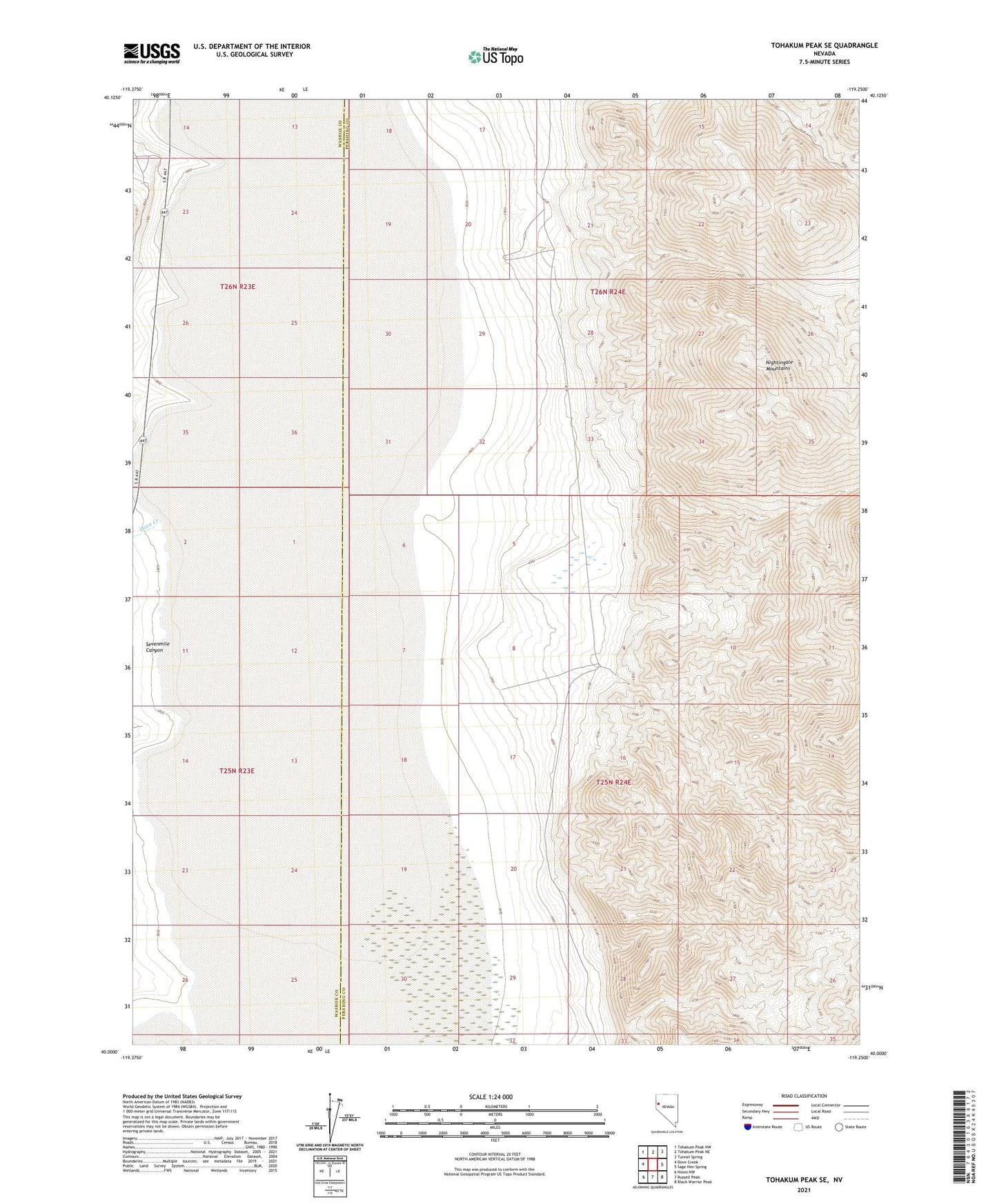
2021 topographic map quadrangle Tohakum Peak SE in the state of Nevada. Scale: 1:24000. Based on the newly updated USGS 7.5' US Topo map series, this map is in the following counties: Pershing, Washoe. The map contains contour data, water features, and other items you are used to seeing on USGS maps, but also has updated roads and other features. This is the next generation of topographic maps. Printed on high-quality waterproof paper with UV fade-resistant inks.
Quads adjacent to this one:
West: Dove Creek
Northwest: Tohakum Peak NW
North: Tohakum Peak NE
Northeast: Tunnel Spring
East: Sage Hen Spring
Southeast: Black Warrior Peak
South: Russell Peak
Southwest: Nixon NW
Contains the following named places: Dove Creek, M G L Mines, Nightingale Mountains, Sevenmile Canyon, Winnemucca Lake