MyTopo
Tule Canyon Nevada US Topo Map
Couldn't load pickup availability
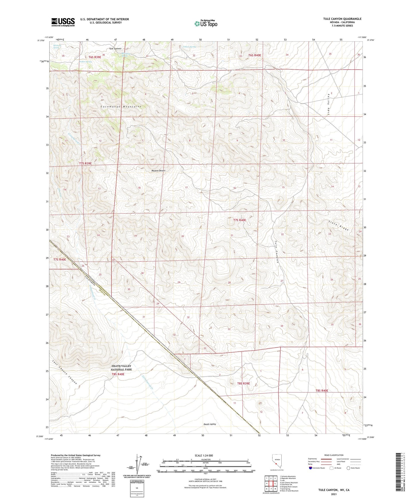
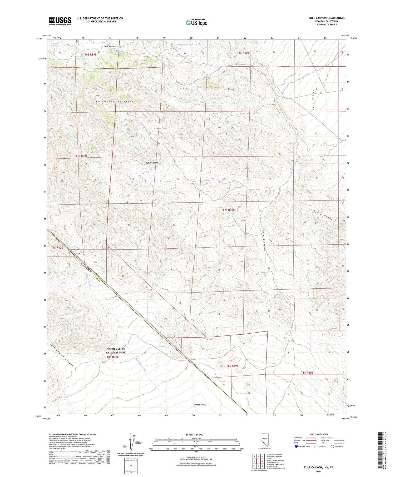
2021 topographic map quadrangle Tule Canyon in the states of California, Nevada. Scale: 1:24000. Based on the newly updated USGS 7.5' US Topo map series, this map is in the following counties: Esmeralda, Inyo. The map contains contour data, water features, and other items you are used to seeing on USGS maps, but also has updated roads and other features. This is the next generation of topographic maps. Printed on high-quality waterproof paper with UV fade-resistant inks.
Quads adjacent to this one:
West: Last Chance Mountain
Northwest: Sylvania Mountains
North: Magruder Mountain
Northeast: Lida
East: Gold Point SW
Southeast: West of Gold Mountain
South: Sand Spring
Southwest: Hanging Rock Canyon
Contains the following named places: Alum Creek, Cottonwood Creek, Cucomungo Mountains, Last Chance Canyon, Mercer Brothers Mine, O'Hara Spring, Oriental Mine, Pipers Toll Road, Roosevelt, Roosevelt Mine, Roosevelt Well, Senner, Six Bits Mine, Stockade Spring, Tule Canyon, Tule Post Office, Tule Summit, Walker Spring, Wild Rose Spring