MyTopo
Vigus Butte Nevada US Topo Map
Couldn't load pickup availability
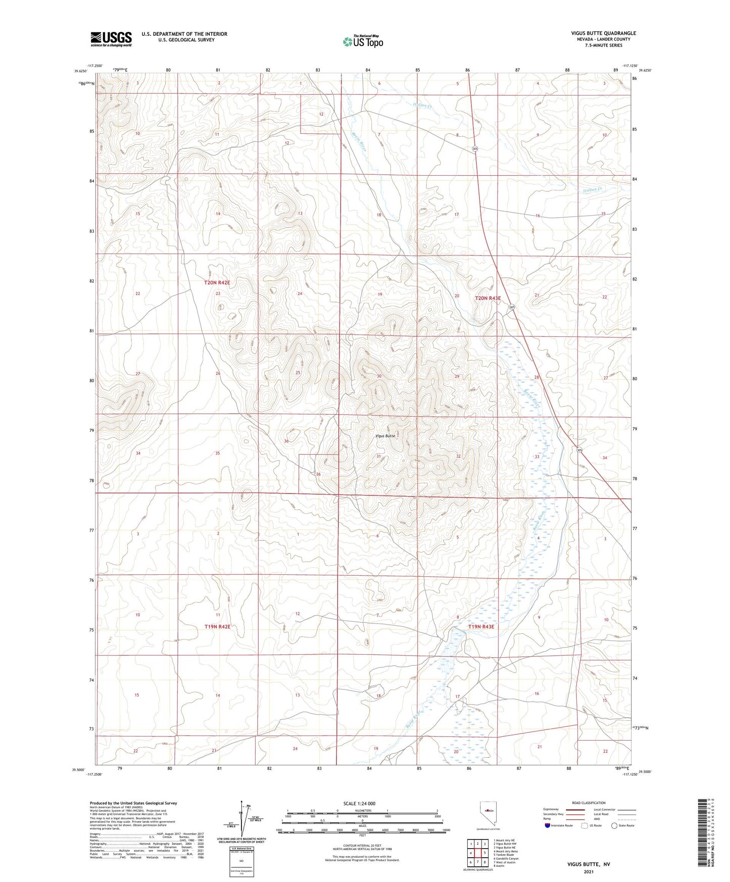
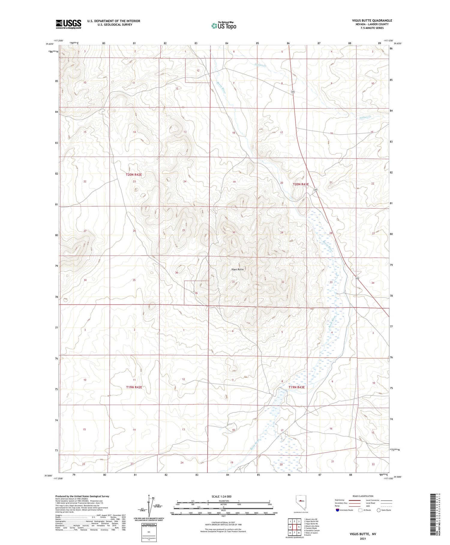
2021 topographic map quadrangle Vigus Butte in the state of Nevada. Scale: 1:24000. Based on the newly updated USGS 7.5' US Topo map series, this map is in the following counties: Lander. The map contains contour data, water features, and other items you are used to seeing on USGS maps, but also has updated roads and other features. This is the next generation of topographic maps. Printed on high-quality waterproof paper with UV fade-resistant inks.
Quads adjacent to this one:
West: Mount Airy Mesa
Northwest: Mount Airy NE
North: Vigus Butte NW
Northeast: Vigus Butte NE
East: Yankee Blade
Southeast: Austin
South: West of Austin
Southwest: Gandolfo Canyon
Contains the following named places: Battle Mountain to Austin Stage Route, Big Creek, Gweenah, Gwenah Mine, Jacobsville, Jacobsville Post Office, Ledlie, Racetrack Ranch, Skookum, Skookum Mine, Skookum Mining District, Skunk Ranch, Vigus Butte, Wiggins