MyTopo
Vigus Butte NW Nevada US Topo Map
Couldn't load pickup availability
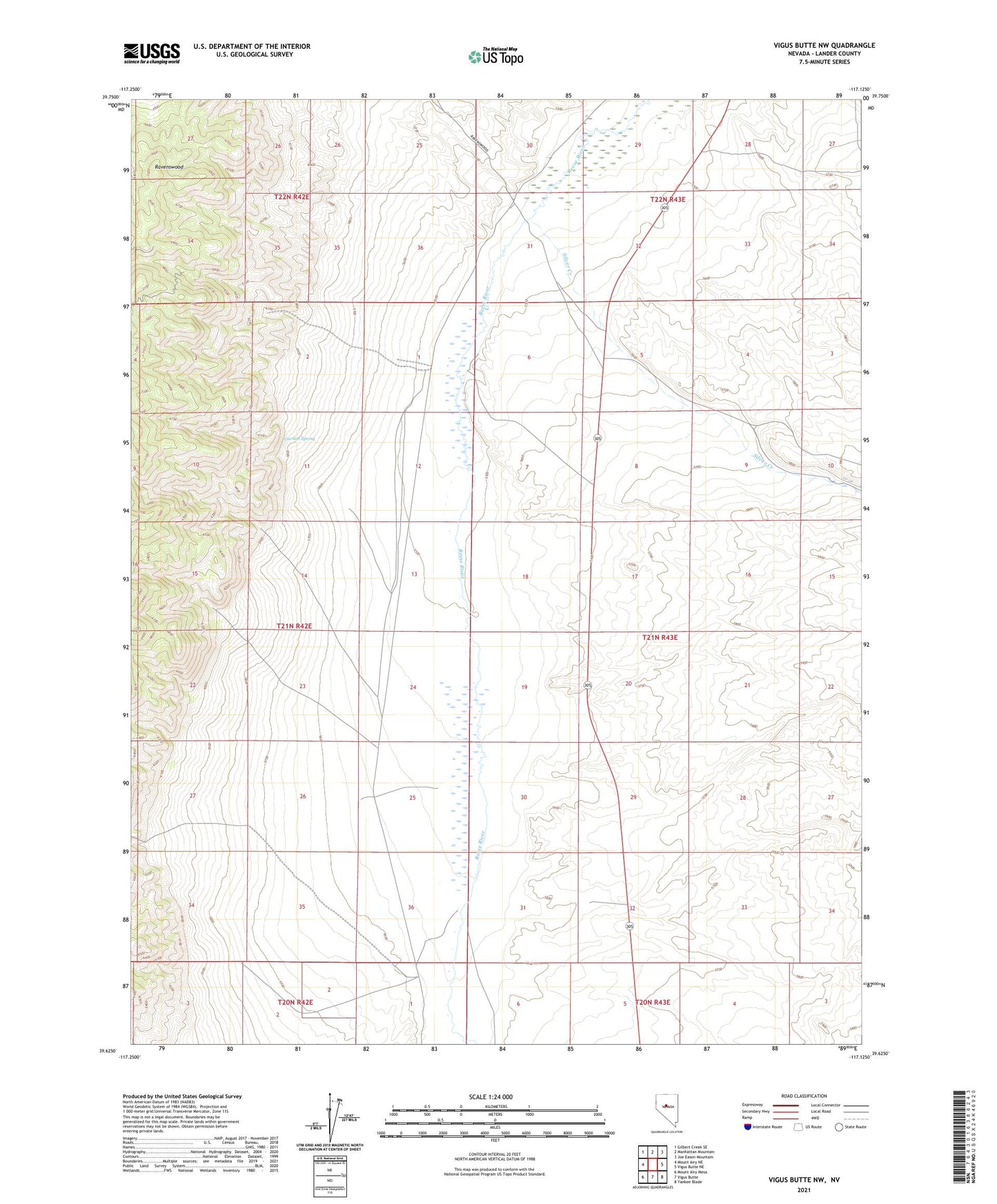
2021 topographic map quadrangle Vigus Butte NW in the state of Nevada. Scale: 1:24000. Based on the newly updated USGS 7.5' US Topo map series, this map is in the following counties: Lander. The map contains contour data, water features, and other items you are used to seeing on USGS maps, but also has updated roads and other features. This is the next generation of topographic maps. Printed on high-quality waterproof paper with UV fade-resistant inks.
Quads adjacent to this one:
West: Mount Airy NE
Northwest: Gilbert Creek SE
North: Manhattan Mountain
Northeast: Joe Eason Mountain
East: Vigus Butte NE
Southeast: Yankee Blade
South: Vigus Butte
Southwest: Mount Airy Mesa
This map covers the same area as the classic USGS quad with code o39117f2.
Contains the following named places: Catons, Curtis, Garden Spring, Italian Creek, Silver Creek, White House Ranch