MyTopo
Virgin Peak Nevada US Topo Map
Couldn't load pickup availability
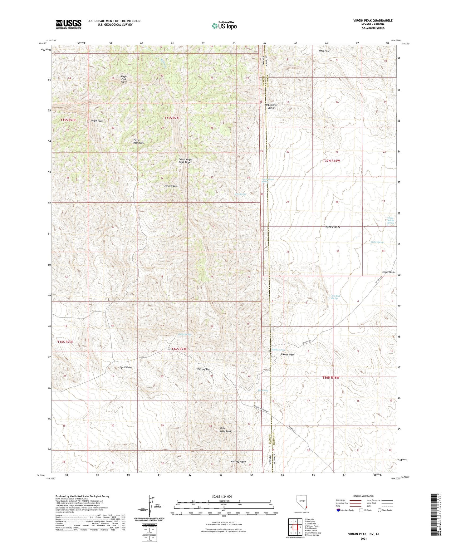
2021 topographic map quadrangle Virgin Peak in the states of Nevada, Arizona. Scale: 1:24000. Based on the newly updated USGS 7.5' US Topo map series, this map is in the following counties: Clark, Mohave. The map contains contour data, water features, and other items you are used to seeing on USGS maps, but also has updated roads and other features. This is the next generation of topographic maps. Printed on high-quality waterproof paper with UV fade-resistant inks.
Quads adjacent to this one:
West: Whitney Pocket
Northwest: Riverside
North: Hen Spring
Northeast: Jacobs Well
East: Red Pockets
Southeast: Pakoon Springs
South: Saint Thomas Gap
Southwest: Devils Throat
Contains the following named places: Big Spring, Big Springs Canyon, Billy Goat Peak, Cabin Spring, Cedar Spring, Hecs Hole, Hungry Valley, Jacobs Ranch, Lime Spring, Middle Spring, North Water Spring, Quail Point, Red Rock Spring, South Virgin Peak Ridge, Virgin Mountain Natural Area, Virgin Mountains, Virgin Peak, Virgin Peak Ridge, White Saddle Spring, Whitney Pass, Whitney Ranch