MyTopo
Wahguyhe Peak Nevada US Topo Map
Couldn't load pickup availability
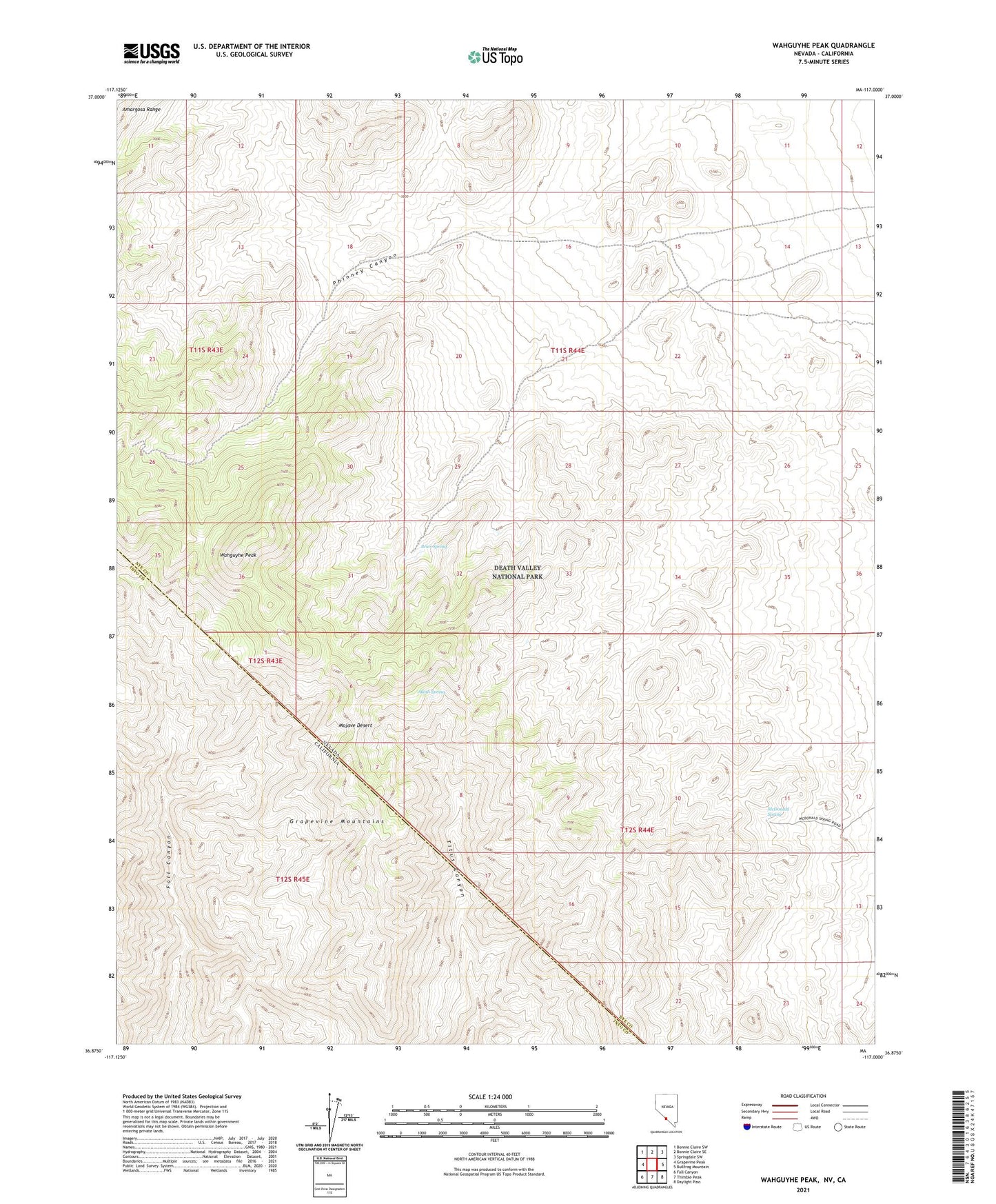
2021 topographic map quadrangle Wahguyhe Peak in the state of Nevada. Scale: 1:24000. Based on the newly updated USGS 7.5' US Topo map series, this map is in the following counties: Nye, Inyo. The map contains contour data, water features, and other items you are used to seeing on USGS maps, but also has updated roads and other features. This is the next generation of topographic maps. Printed on high-quality waterproof paper with UV fade-resistant inks.
Quads adjacent to this one:
West: Grapevine Peak
Northwest: Bonnie Claire SW
North: Bonnie Claire SE
Northeast: Springdale SW
East: Bullfrog Mountain
Southeast: Daylight Pass
South: Thimble Peak
Southwest: Fall Canyon
This map covers the same area as the classic USGS quad with code o36117h1.
Contains the following named places: Alkali Spring, Brier Spring, McDonald Spring, Mexican Camp, Patootse Mine, Phinney Canyon, Phinney Mine, Strozzi Ranch, Wahguyhe Peak