MyTopo
Wendover SE Nevada US Topo Map
Couldn't load pickup availability
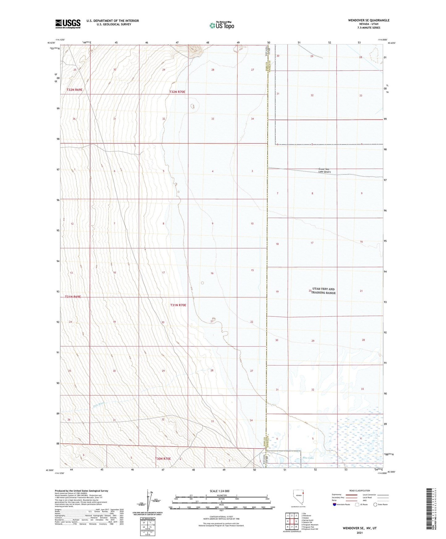
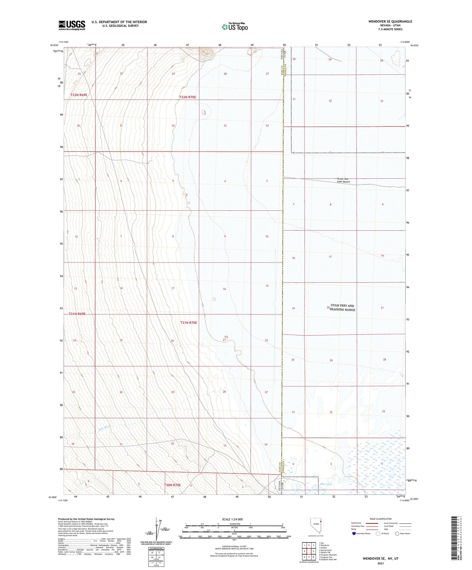
2021 topographic map quadrangle Wendover SE in the states of Nevada, Utah. Scale: 1:24000. Based on the newly updated USGS 7.5' US Topo map series, this map is in the following counties: Elko, Tooele. The map contains contour data, water features, and other items you are used to seeing on USGS maps, but also has updated roads and other features. This is the next generation of topographic maps. Printed on high-quality waterproof paper with UV fade-resistant inks.
Quads adjacent to this one:
West: Spring Gulch
Northwest: Ola
North: Wendover
Northeast: Silsbee
East: Salduro SW
Southeast: Elephant Knoll NW
South: Ferguson Flat
Southwest: Ferguson Mountain
Contains the following named places: Blue Lake, Felt Wash, Salt Springs Waterfowl Management Area