MyTopo
White Blotch Springs NW Nevada US Topo Map
Couldn't load pickup availability
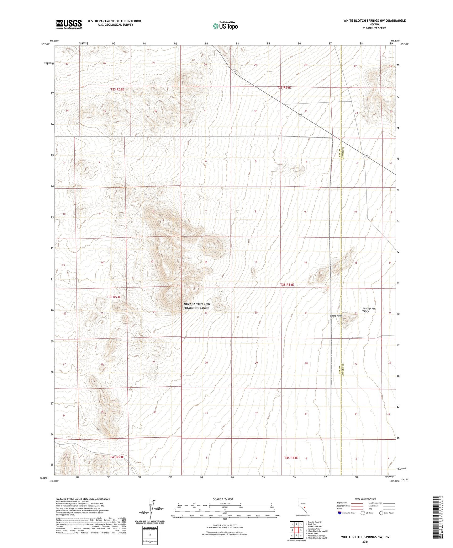
2021 topographic map quadrangle White Blotch Springs NW in the state of Nevada. Scale: 1:24000. Based on the newly updated USGS 7.5' US Topo map series, this map is in the following counties: Nye, Lincoln. The map contains contour data, water features, and other items you are used to seeing on USGS maps, but also has updated roads and other features. This is the next generation of topographic maps. Printed on high-quality waterproof paper with UV fade-resistant inks.
Quads adjacent to this one:
North: Black Top
Northeast: Honest John Well
East: White Blotch Springs NE
Southeast: White Blotch Springs SE
This map covers the same area as the classic USGS quad with code o37115f8.
Contains the following named places: Sharp Peak