MyTopo
White Horse Mountain NW Nevada US Topo Map
Couldn't load pickup availability
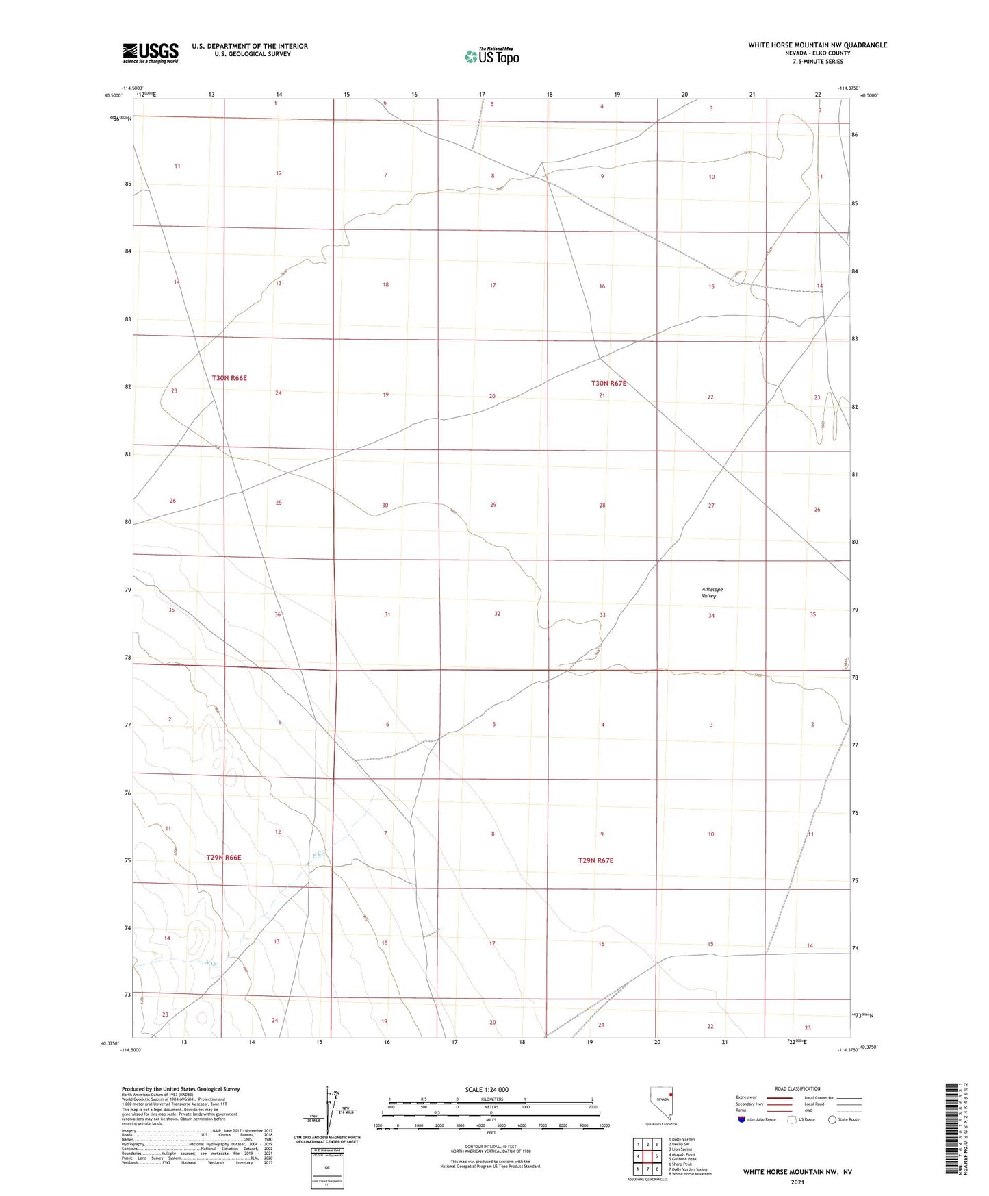
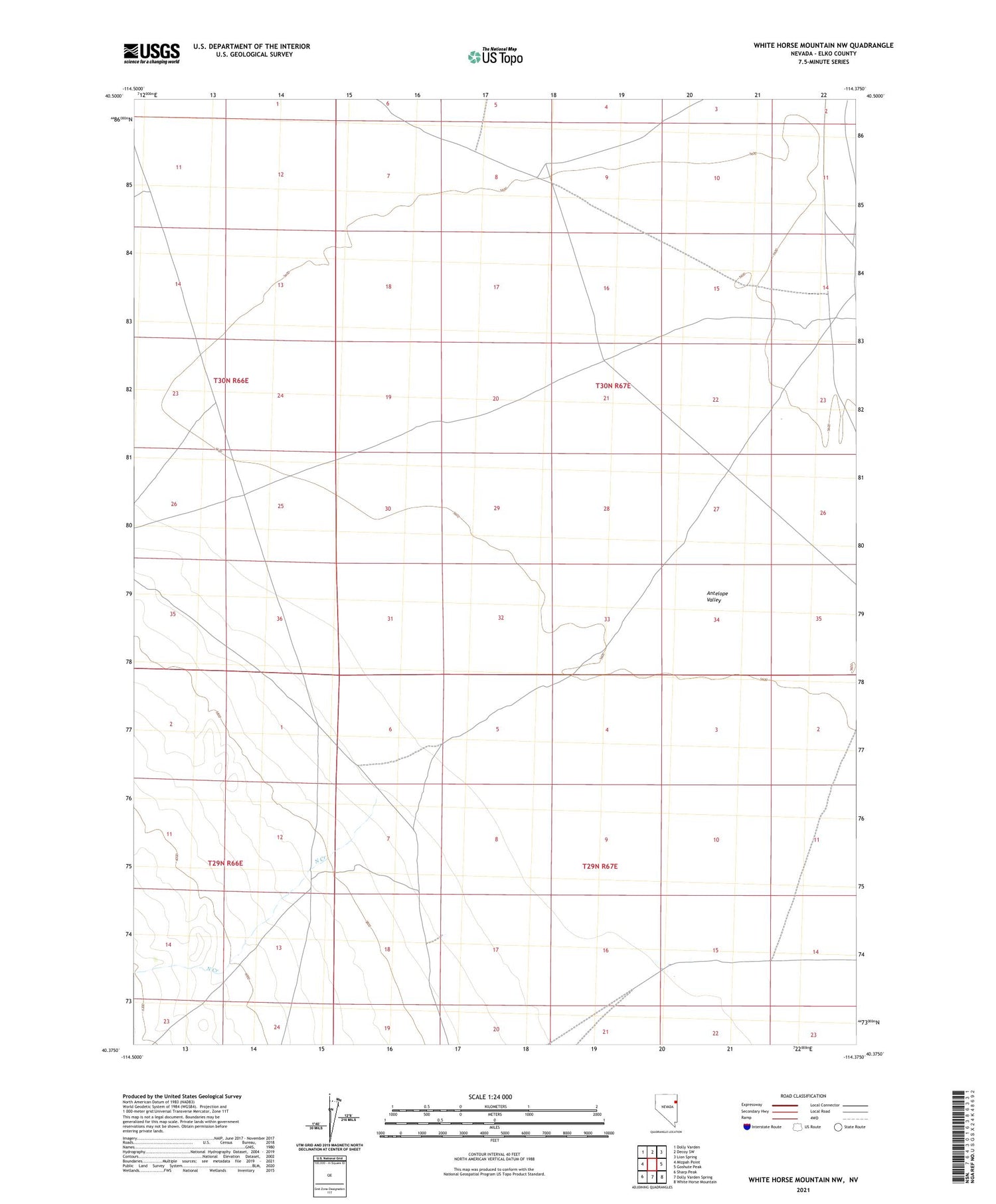
2021 topographic map quadrangle White Horse Mountain NW in the state of Nevada. Scale: 1:24000. Based on the newly updated USGS 7.5' US Topo map series, this map is in the following counties: Elko. The map contains contour data, water features, and other items you are used to seeing on USGS maps, but also has updated roads and other features. This is the next generation of topographic maps. Printed on high-quality waterproof paper with UV fade-resistant inks.
Quads adjacent to this one:
West: Mizpah Point
Northwest: Dolly Varden
North: Decoy SW
Northeast: Lion Spring
East: Goshute Peak
Southeast: White Horse Mountain
South: Dolly Varden Spring
Southwest: Sharp Peak
This map covers the same area as the classic USGS quad with code o40114d4.
Contains the following named places: Black Butte Well, North Creek