MyTopo
Wine Cup Ranch SW Nevada US Topo Map
Couldn't load pickup availability
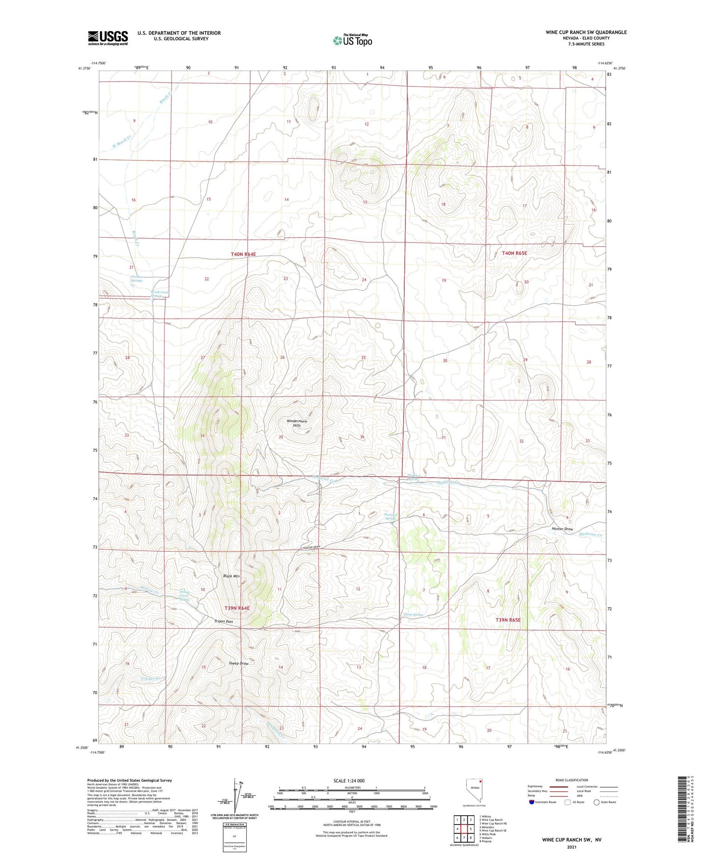
2021 topographic map quadrangle Wine Cup Ranch SW in the state of Nevada. Scale: 1:24000. Based on the newly updated USGS 7.5' US Topo map series, this map is in the following counties: Elko. The map contains contour data, water features, and other items you are used to seeing on USGS maps, but also has updated roads and other features. This is the next generation of topographic maps. Printed on high-quality waterproof paper with UV fade-resistant inks.
Quads adjacent to this one:
West: Melandco
Northwest: Wilkins
North: Wine Cup Ranch
Northeast: Wine Cup Ranch NE
East: Wine Cup Ranch SE
Southeast: Pequop
South: Holborn
Southwest: Wells Peak
This map covers the same area as the classic USGS quad with code o41114c6.
Contains the following named places: Black Mountain, Brush Creek Springs, Hunter Draw, Prather Springs, Sheep Spring, Thurston Spring, Tripon Pass, West Brush Creek, Willow Creek Spring